Cold fronts and maybe even a few snowflakes are heading to the Philly area
From Sunday through Wednesday temperatures will fight to get out of the 40s. Do the leaves know about this?
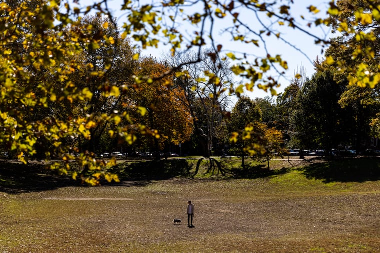
After what might have been the most ferocious leaf storm in the autumn of the endless foliage, the region is about to experience a wintry break, with at least an outside shot of seeing the first snowflakes of the season early Monday.
“We can’t rule that out,” said Mike Doll, senior meteorologist with AccuWeather Inc.
But hold the shovels and the milk runs: While the Poconos could see a dusting, a harmless showery mix of rain and snow in Philly’s Pennsylvania suburbs would be about the extent of the threat, said Sarah Johnson, a lead meteorologist at the National Weather Service Office in Mount Holly.
A cold front passed through the region on Friday and will be followed by another on Saturday that could kick up winds as high as 30 mph during the afternoon. A third could set off the showers and random flake sightings around daybreak Monday, she said.
» READ MORE: Fall is getting warmer in Philly. Here’s what that means for trees, ticks, and birds.
After Saturday, temperatures will struggle to make it to 50 again until Wednesday, forecasters say, with highs more typical of the first week of December, and lows in the 30s.
Thermal comfort being relative, it likely will feel colder. Save for a six-day stretch last week, this has been quite a mild fall, and on Friday temperatures climbed past 65 for a fifth consecutive day, despite the downpours that shook loose some of those tenacious leaves.
That tenacity evidently is more about last month, when temperatures averaged six degrees above normal in the Philly region.
“The longevity of this year’s color and extended period of transition was almost certainly due to the very warm temperatures during October,” said Ryan Reed, a program specialist with the Pennsylvania Department of Conservation and Natural Resources.
» READ MORE: Fall foliage in the Philly area may suffer from the unusually warm and wet weather
The weekly report he posted Friday noted that color finally was “fading” but hanging tough in Southeastern Pennsylvania.
Even during a run of generally warm autumns, a climate change symptom, this one has been exceptional.
“It’s more like spring, right?” said Doll, the AccuWeather senior meteorologist. Not for much longer.
“There are changes coming,” he added. “It’s going to be a reminder that we are getting deeper in fall.”
While it might not get quite as warm as it has been, another warming trend is due to start Wednesday, perhaps followed by another cooldown as the pattern remains “progressive,” with systems zipping across the country, Doll said.
» READ MORE: Philly winter forecasts call for early snow, a cold December, and a 100% chance of uncertainty
Looking ahead, the winter outlooks aren’t looking particularly bullish on snow and cold, and the most recent update issued by the Climate Prediction Center has the odds favoring above-normal temperatures in about two-thirds of the contiguous United States, including everywhere east of the Mississippi.
In the short term, it’s going to feel like it should at the start of the meteorological winter, which commences on Dec. 1.
“We’re almost there,” said Dean Iovino, a lead meteorologist at the National Weather Service Office in Mount Holly, “believe it or not.”
