Outlooks favor another mild winter for Philly, but at least it should snow this season
A long-range forecast specialist at AccuWeather said snow would likely come early and late in the season, what he called a "bookend winter."
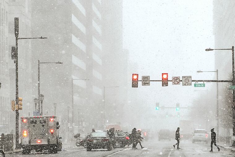
For those who view winter as little more than spring’s way of hazing us, the prospects are promising. For snow-lovers, at least a possible consolation prize awaits.
AccuWeather Inc.'s annual winter outlook, released Wednesday, calls for temperatures two to three degrees above normal. That’s in line with the government’s Climate Prediction Center outlook, posted two weeks ago, saying the odds favored above-normal temperatures in much of the country.
As for snowfall, AccuWeather says it should be about half of average. Yes, that would be a mere 10 to 15 inches, but that also would be about 40 times more than fell on Philadelphia in the winter of 2019-20.
» READ MORE: When winter doesn’t come: Here are the winners and losers of Philly’s nearly snowless season
“I do think we’ll get some snow,” said Paul Pastelok, the long-range forecast specialist at AccuWeather.
For a variety of reasons, he said, it would likely come early and late in the season, what he called a “bookend winter.” In between? “There could be a significant January thaw,” he said.
A big part of his reasoning is what’s going on in the Pacific Ocean, as weather moves from west to east.
La Niña
In the early going, meteorologists agree that the governing force this winter will be a La Niña, the rather robust cooling of sea-surface temperatures in the tropical Pacific.
Sea-surface temperatures over a continent-size area of the Pacific are running about one to two degrees Fahrenheit below normal, which affects the overlying air, which in turn influences the upper-air winds that steer weather systems and generate frontal boundaries.
During a La Niña, a ridge of higher pressure, or storm-depressing heavier air, tends to persist on the Southeast Coast, and that could be a significant roadblock to coastal storms, said Pastelok.
Not only would that inhibit nor’easters, it would tend to keep the upper-level jet stream winds and colder air well north of the Philadelphia region. And the way winds circulate clockwise around highs, the region would tend to get warming winds from the southwest.
» READ MORE: What ‘La Nina’ means for hurricane season and Philly’s winter snow prospects
Pastelok says he expects that high to ripen in January, setting off a thaw, assuming there is something to thaw. He believes the best shot for snow would be in December, before the pattern matures, or in March, after it breaks down.
In the meantime, he says, the polar vortex won’t be buying a frequent-visitor pass to Philadelphia. As it did last winter, it will spend most of its time swirling around the Arctic and confining cold up that way.
One other factor arguing for a winter on the mild side would be what’s been happening recently.
The trend
The Climate Prediction Center is using upgraded computer models in its long-range forecasting, but the trends of recent years carry significant weight.
During the last 30 meteorological winters (the December-through-February periods), the three-month average has been a full 2.4 degrees Fahrenheit higher than in the 116 previous winters.
The outlook for the outlooks
As a public service, we remind our readers that the chaotic atmosphere is prone to bedevil the best minds of meteorology.
» READ MORE: Here’s what went wrong with the forecasts for winter 2019-20
Recall that last year some of those winter outlooks were bullish on snow. That didn’t work out so well. Officially Philadelphia finished with 0.3 inches.
