Near-record heat, double-zero hour coming this week to Philly. Real fireworks maybe on the 4th.
The 100-degree heat wave could linger into next week, with a sequence of steamy nights.
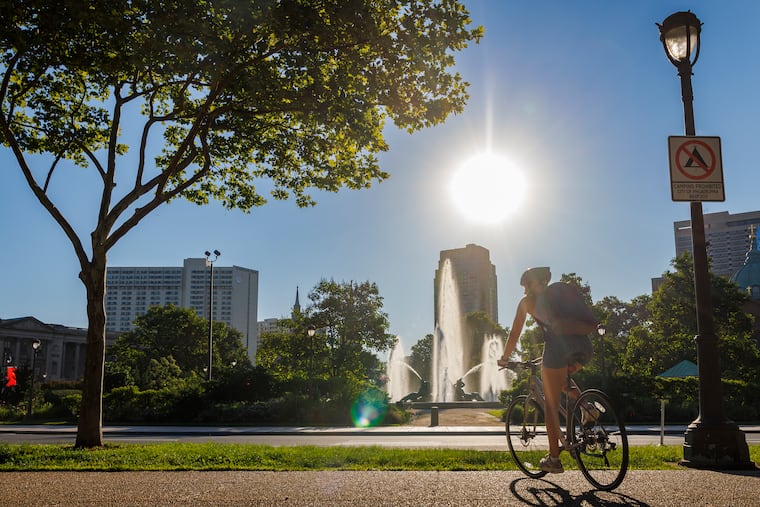
Just in time for the climax of the nation’s 250th birthday celebration, the atmosphere may make a run at history this week as July gets off to a torrid start in much of the nation, with temperatures in Philly aiming toward 100 both Thursday and Friday.
And while the record-challenging extreme heat may ease some late in the weekend, atmospheric fireworks may threaten Fourth of July events.
Conditions also favor tropically steamy nights when it may seem that even the fireflies are adding to the heat.
The National Weather Service has issued an “excessive heat watch,“ in effect from Wednesday afternoon through the day Saturday, for heat indexes up to 110. The watch covers all of New Jersey, Delaware, and most of Pennsylvania.
If the heat wave persists as forecast, the cumulative warmth could become dangerous for people with background medical conditions and the elderly who live alone without air-conditioning in the city’s rowhouses.
The forecasts for the rest of the week
Philly’s temperatures are likely to reach the low 90s on Tuesday, said John Feerick senior meteorologist with AccuWeather Inc., but that will be just a warm-up.
Readings will soar well into the mid and upper 90s on Wednesday, and likely crest at or above the century mark Thursday and Friday.
“The humidity gets tropical too,” he said.
The so-called high pressure “heat dome” is forecast to bake about two-thirds of the nation. Philadelphia will be near the eastern edge of the hot zone, and that can become a precarious place to be when the heat backs off. Rounds of showers could begin on Friday and persist into Saturday.
The outlook for the weekend and the ‘ring of fire’ potential
“Ring of fire” thunderstorms, which can generate prodigious amounts of rain, can form along the edges of heat-generating high pressure systems, the weather service says. This far in advance — or even a day or even hours ahead of time — it isn’t possible to predict where and when such a storm or storms might develop.
But the circumstances may be favorable on the Fourth.
“We’re seeing chances of thunderstorms,” said Paul Fitzsimmons, meteorologist with the weather service office in Mount Holly.
Said Feerick, “I think there’s going to be some pretty intense storms. A lot of times the heat waves come to an end with a bang. That’s a possibility next weekend for sure.
The fireworks might be suppled by mother nature, and humans.”
On Monday morning the weather service advised, “It is important to point out that any holiday weekend festivities could be impacted by thunderstorms — in addition to the extreme heat."
Fitzsimmons that “By Sunday, might be getting a little bit cooler.”
Warmer world, warmer Philly, although 100s have been less frequent
Philadelphia’s temperature increases have tracked fairly close to the globe’s, which during the last 12 months were about 2 degrees Fahrenheit above the 20th century average. Local summers have become increasingly warmer.
Yet 100-degree readings in Philadelphia have been relatively scarce this century. On average, temperatures of 100 or higher have occurred every four years in Philly, but when it reached 100 last summer, that was the first time in 13 years, the longest 100-less stretch on record.
That could be mere randomness, or it could be related to increased mugginess, which can retard both daytime heating and nighttime cooling. Warmer air can hold more water vapor.
In records dating to 1874, it has reached 100 a total of 62 times, according to an analysis of temperature data, in 40 different years. For whatever reasons, they have tended to come in clusters, including a five-year run of 100-degree readings that ended in 1955, and three years, ending in 2012.
Assuming the forecasts hold, this will end up being at least a two-year run.
