It’s the coldest morning of the season and the chill goes on, but snow may continue to snub Philly
Snowfall for the last five winter seasons is more than 80 inches below normal in Philly.
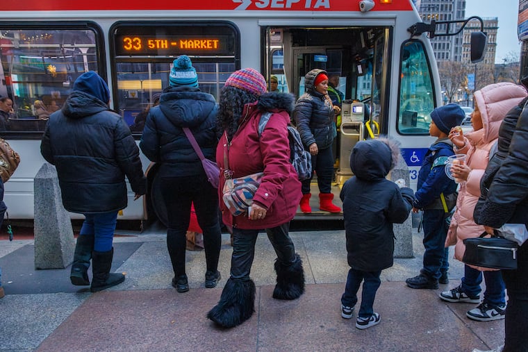
The city experienced its coldest morning since at least Feb. 19 with low temperatures in the teens, even at Philadelphia International Airport, as for the second straight year December is off to quite a chilly start.
And also for the second straight year, those looking forward to that first generous coating of white in Philly, or viewing the possibility with a certain trepidation, may be in for a wait.
Readings dropped into single digits in Pottstown and Doylestown, and in the teens elsewhere. As usual, Philadelphia International Airport was the regional hotspot, bottoming out at 18.
Temperatures are due to top out in the mid-30s Tuesday, more than 10 degrees below normal. A midweek warmup is due as rain approaches, followed by a late-week cooldown, and a deeper chill over the weekend into next week as the Arctic continues to share a generous supply of cold air to the central and eastern United States.
Flake sightings are possible this week in Philly, but don’t expect a rash of school closings.
The city and areas to the north and west may see a few snowflakes at the onset of general rainfall Wednesday, said Robert Deal, the science and operations officer at the National Weather Service Office in Mount Holly. And a dusting or less is possible in the region Friday with a cold frontal passage, he said.
So, while folks around Doylestown had to dig out from a whole three-tenths of an inch of snow during the weekend, and the likes of Atglen, Chester County, and Avalon at the Shore were buried under a tenth of an inch, the vigil goes on for Philly’s first ruler-worth snowfall.
With an unusual degree of certainty, in its Monday update, NOAA’s Climate Prediction Center said it was very likely that temperatures in Philadelphia and the rest of the Northeast would be below normal in the Dec. 13-17 period, with odds favoring below-normal readings through the solstice.
That doesn’t mean it’s going to snow.
Snow has been wanting the last several winters
The region is accustomed to snow snubs.
Deal pointed out that since the 2019-20 season, Philly’s official snowfall is more than 80 inches below normal — that’s a total of 56.7 inches measured, vs. 139.4 inches that constitute the normal.
The last several winters generally have been mild, but snow doesn’t always correlate well with cold, and atmospheric scientists caution that snow is a lousy climate indictor.
Last season, for example, the Dec. 1-Feb. 28 meteorological winter finished about a degree below normal with plenty of cold air for snow, but snowfall was a paltry 8.1 inches — beating New Orleans by a mere 0.1 inches. The seasonal normal as measured at Philadelphia International Airport is 22.3 inches.
Tuesday officially would be Philadelphia’s 13th consecutive day of below-normal temperatures, and 13th without measurable snow.
Why the absence?
Snow around here typically falls near the battlegrounds of cold, heavy air from the north country and warmer moist air off the Gulf and Atlantic Ocean, which can rout the cold.
“We generally need a high-pressure system anchored to the north so it keeps the cold air locked in place,” Deal said. “Lately, most of the high-pressure systems have been more transient, shifting offshore.”
If they are too strong and persistent, those same cold high-pressure systems can repel moisture.
The climate center outlooks favor below-normal precipitation in the Northeast in the six-to-10-day and eight-to-14-day periods.
The lack of snow to date is by no means unusual, Deal points out. On average Philly doesn’t measure an official inch until Dec. 10.
“Right now,” he said, “normal is next to nothing.”
Brightening prospects
The winter solstice doesn’t occur until Dec. 21, but if you have had it with these early sunsets, your prospects are brightening considerably.
Monday’s sunset, just before 4:37 p.m., was a second later than Sunday’s. Tuesday’s will be 4 seconds later than Monday’s, and the sun will call it a day four whole minutes later on Dec. 21.
That will still be the shortest day, however, since daybreak will be later, but feel free to sleep through it.
