Winter weather advisory and freezing rain in the suburbs, but snow continues to elude Philly
Yet again, we learned that in meteorology the term “model behavior” very often is no compliment.
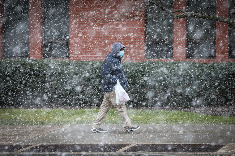
Freezing rain and sleet was falling in parts of the Pennsylvania suburban counties Tuesday morning, and the National Weather Service continued its winter weather advisory.
In the northern and western portions of the counties the advisory has been extended to 4 a.m. Wednesday as subfreezing temperatures have been stubborn to rise.
But yet again, snow has eluded Philadelphia, which awoke to a generic cold rain with temperatures in the mid-30s and nary a flake sighting after daybreak.
And yet again, we learned that in meteorology the term “model behavior” very often is no compliment.
Last week they were seeing the potential for a significant snowfall Monday night into Tuesday, and on Monday night forecasters still were calling for at least a few tenths of an inch, which would have constituted the biggest snow of a snowless month.
However dry air held on stubbornly overnight, said Chad Shafer, a lead meteorologist in the Mount Holly office, and by the time precipitation arrived, the upper atmosphere was too warm for snow.
Near and below-freezing temperatures managed to survive north and west of the city, thus the icing. While this wasn’t advertised as a particularly ferocious event, the weather service has posted the advisory because of the icing potential.
» READ MORE: Snow squalls cross region, and Philly gets its first ‘trace’ of the month
Last week the models were suggesting that a weak storm passing to the west of the region would spawn a stronger coastal low that would become a snowmaking nor’easter.
That storm has developed, but well south of the region and is due to head out to sea. In the meantime Philly is getting rainy, dreary January day courtesy of what’s left of the original low pressure, forecasters said.
So far this month, the unmeasurable “trace” observed last week at Philadelphia International Airport constitutes the biggest snow of January 2021.
And it is at least possible that Philadelphia will finish January without measurable snow, something that hasn’t happened in 25 years, and only a handful of times in the period of record dating the winter of 1884-85.
» READ MORE: The case of the disappearing snow: A stormy week — for the computers
Computer models once again are seeing the potential of a winter storm for late in the weekend, which would be the very end of January.
And when have they ever been wrong?
