Snow is expected during the weekend in Philly, but how much is up in the air
Snow would come from two different systems — or not.
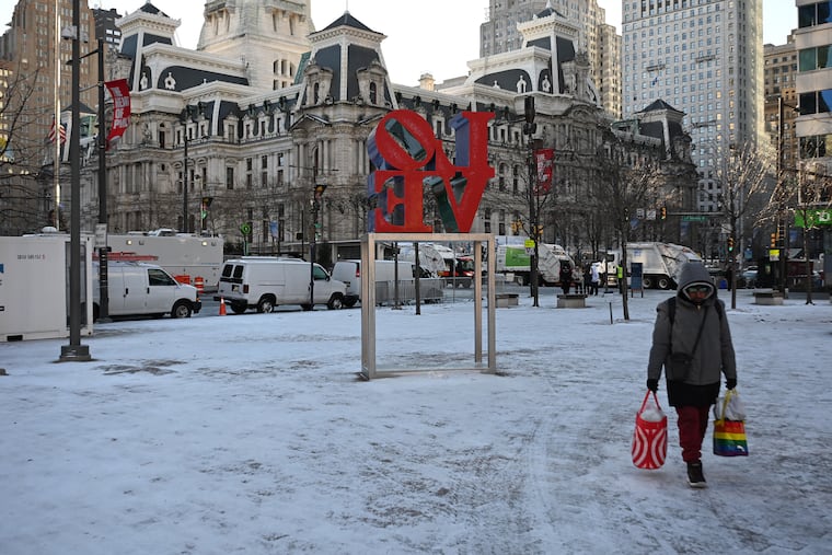
Some snow is possible in the Philly region during the holiday weekend, but about the only thing certain is that schools will be closed until Tuesday.
Snow — not a whole lot of it — is expected Saturday morning, and possibly again during the day Sunday.
“Definitely something,” said Ray Martin, a lead meteorologist at the National Weather Service Office in Mount Holly, “maybe not a lot of something.”
In short, he added, expect a “100% chance of forecast uncertainty.”
How much for Philly?
Some snow is expected in the early morning hours of Saturday, said Dan Pydynowski, senior meteorologist with AccuWeather Inc., and “sidewalks and streets could be slick for a time” in the Philly region.
However, temperatures in the afternoon are expected to approach 40 degrees and that should melt any snow. If the precipitation lingers, it likely would turn to rain.
That snow would be associated with a system from the west, and more significant amounts are expected well north and west of Philly.
On Sunday when it will be colder, the source would be a coastal storm that has been befuddling computer models the last three days. On Wednesday, the U.S. model was seeing a significant snowstorm for the I-95 corridor. On Thursday, it said never mind and fell in line with other guidance that kept the storm offshore.
On Friday, models were bringing the storm closer to the coast, but the model consensus was that it would be more of threat at the Shore and perhaps throw back a paltry amount to the immediate Philly region.
“On the other hand, a slight shift ... in the track could bring 1-2 inches into the urban corridor,” the weather service said in its afternoon discussion.
Said Martin, “It’s always tricky with these offshore lows. It’s also possible that both systems pass us and we get basically nothing.”
Far more certain is a rather big chill
That the region was about to experience its coldest weather of the season to date was all but certain.
High temperatures on Monday, Martin Luther King Jr. Day, probably won’t get out of the 30s, and no higher than the mid 20s Tuesday and Wednesday, forecasters say.
Overnight lows are due to tumble into the teens, with wind chills approaching zero early Wednesday.
No more precipitation is forecast at least through Thursday, but with odds favoring continued below-normal temperatures through Jan. 29 and above-normal precipitation, it should be a robust period for virtual snow threats, if not actual snow.
“Even if nothing really happens this weekend,” said Martin, “there’s always next weekend.”
Pydynowski said that “some signs” point to a snowfall “late next week or next weekend.”
But one uncertainty at a time.
