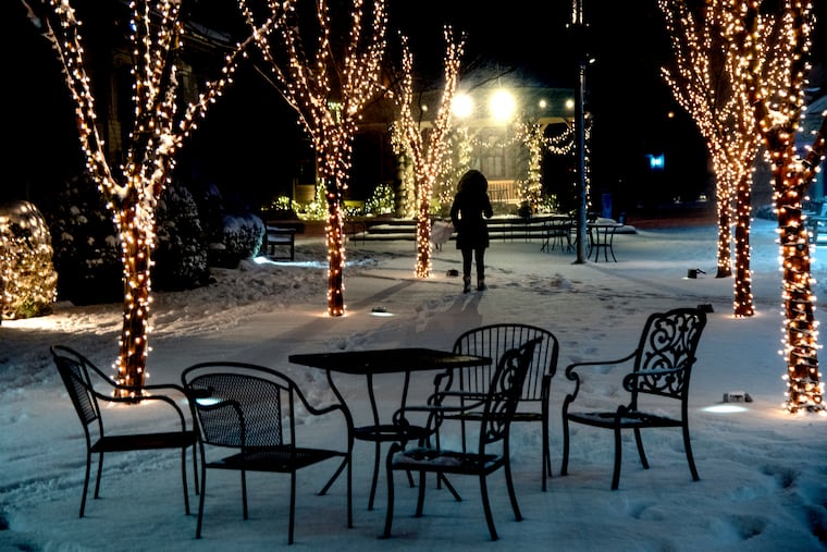
Snow totals in Philly region were higher than forecast in South Jersey, by several inches in some cases
The snow-and-no line set up farther east than expected on Wednesday, and some South Jersey areas received several inches more than forecast.

For days forecasters had warned that somewhere near Philadelphia snow amounts would fall off a cliff during the midweek storm.
That turned out to be correct.
But the snow-and-no line set up farther east than expected, and amounts of several inches were common in the heart of the South Jersey counties.
The front-end snows Wednesday were more robust than expected, and perhaps ironically that was due in part to the fact that the storm had not yet matured when the snow overspread the region, said Greg Postel, a winter-storm specialist with the Weather Channel.
The storm wasn’t quite strong enough to rout all the cold air that had built Tuesday night into Wednesday, he said.
Eventually it strengthened, and it lured in warm air aloft off the ocean landward, changing the snow to sleet hours ahead of schedule west of the Delaware River. That suppressed accumulation rates.
Here is the final National Weather Service snow map, based on the available reports.
Here is what the forecast looked like Tuesday morning.
The weather service sees a chance of some snowflake sightings Sunday, and perhaps even on Christmas Day.
