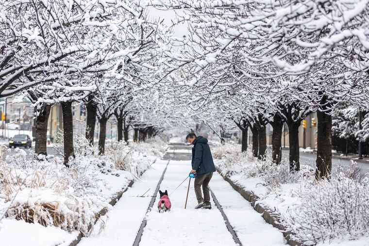
Philly’s snow didn’t quite measure up, and areas to the north got clocked. Here’s what happened to the forecasts
A band of heavy snow formed to the north, and kept totals down around Philly.

Maybe those computers are only human, after all.
For the second time this week, much of Philly and areas to the south and east of the city ended up with less snow than forecast, and some areas to the north got a surprise clocking.
The National Weather Service had placed the entire region under a winter storm warning on Friday afternoon for four to six inches of snow, with the immediate Philly area in a bull’s-eye zone for the heftiest amounts. Lesser amounts were expected to the north.
» READ MORE: Computer models are prone to charge their minds when snow is coming
The forecast wasn’t a complete bust, but the amounts didn’t quite measure up to the warning criteria around Philly. Totals finished generally in the three- to four-inch range in the immediate Philly area, with a little less in parts of Chester and Montgomery Counties, said Alex Staarmann, meteorologist at the National Weather Service Office in Mount Holly.
Officially, 2.3 inches landed at Philadelphia International Airport.
What went awry with the snow forecast?
Computer guidance Friday afternoon suggested that bands of heavy snow would be setting up early Saturday over the Philadelphia region as a storm passed to the south and strong upper-level winds crossed the area.
As it turned out, it was a single band, where strong vertical winds were punching upward and generating prodigious snowfall rates. It settled over an area about 50 miles north of the region, just south of I-78, said Staarmann.
Dave Houk, a senior meteorologist with AccuWeather Inc., said the band first showed up Friday night just north of Columbus, Ohio, and ultimately streaked eastward to New Jersey and found its way all the way to Staten Island.
“We started to see some tipping off when the snow amounts across Indiana and Illinois were coming in higher than what the models were showing,” he said.
Areas under the band were getting snowfall rates of two inches an hour, and some places five inches an hour, said Paul Dorian, a Valley Forge-based meteorologist with the Arcfield weather company.
» READ MORE: The Poconos have struck it rich this week with snow
Parts of the Lehigh Valley and central and northern New Jersey received more than a foot of snow.
As so often happens when bands form, areas on either side of the heaviest snow are moisture deprived.
“That band obviously was very strong,” Staarmann said, “and that kind of wrung everything out.”
What’s next
Temperatures are due to fall deep into the 20s Sunday morning, colder in any place with snow cover.
A warm-up is expected to begin Sunday, with a high about 40, and temperatures reaching into the 40s during the workweek. Most of the snow likely will have been erased by Monday.
However, a storm potential for later in the week could bear watching, said Houk. “This one looks like it will be rain,” he said, likely Thursday night and Friday, but that’s not a done deal. “It still is February,” and the model trends have lacked “long-term consistency.”
And when has that ever happened?
The last two snowfalls didn’t show up as legitimate threats until about 48 hours before the flakes flew, he noted, and then underwent blizzards of changes significant and subtle.
“There’s always surprises,” Houk said. “That’s what makes the weather fun.”
