Philly gets its first winter storm of the season, but hold the shovels
Several school districts opted for late openings
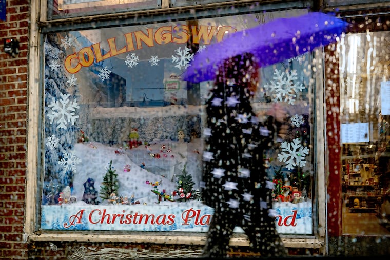
The region is experiencing a classic Philadelphia early winter storm — a touch of ice and snow, rinsed away by plenty of ice water.
Some light freezing rain, sleet, and random snowflakes were reported across the region around daybreak Tuesday, and several school districts in Chester and Montgomery Counties opted for two-hour delays.
Small accumulations of freezing rain, under a tenth of an inch, were measured in the Doylestown and Pottstown areas.
For the record, the National Weather Service in Mount Holly reported that the city recorded its second official “trace” of snow, defined as a trained spotter’s sighting at least one flake at Philadelphia International Airport.
That duly noted, Philly’s chances for its first measurable snowfall of the season remained minimal or less.
“It’s cut and dried,” said Tyler Roys, senior meteorologist with AccuWeather Inc.
Quite wet, actually. As temperatures rise quickly above freezing, plain, old liquid rain, possibly heavy at times, is expected to persist into the afternoon throughout the region.
PennDot anti-icing crews have been mobilized, said spokesperson Krys Johnson, but they are also clearing leaf-clogged drains to mitigate road flooding.
The precipitation should shut off well before the peak afternoon commuting period. However, it appears that the meteorological winter, which began officially Monday, is going to get off to a livelier start than last year’s.
“We’re changing the script already,” said Roys, noting another storm threat later in the week. “It’s definitely an active start.”
NOAA’s Climate Prediction Center has the odds favoring below-normal temperatures and above-normal precipitation in the Northeast in the Dec. 7 through 15 period.
What time will any snow and ice change to rain?
The changeover to rain should proceed quickly, forecasters say, and it should be raining everywhere by midmorning.
Winds are from the east, and that is importing warm air off the ocean, where sea-surfaces temperatures off Atlantic City were in the upper 40s on Tuesday morning.
How much for Philly?
For Philly, Johnson’s reading of the forecast — “A chance of one snowflake” — was essentially correct. In fact, from King of Prussia eastward, said Roys, “You’re looking at nothing.”
What is the outlook for the rest of the week?
The weather community divides the seasons into tidy three-month increments, with Dec. 1 as opening day for winter.
It will feel that way, with temperatures several degrees below normal into the weekend, with daytime highs Tuesday and Wednesday mostly in the 30s and lows in the 20s.
A wild card would be the arrival of an Arctic front Thursday morning, said Roys, which might set off snow squalls in parts of the region.
Another winter storm is possible on the weekend, however computer guidance has been showing just about everything and not much, said Zach Cooper, a weather service meteorologist in the Mount Holly office.
Welcome to winter in Philly.
