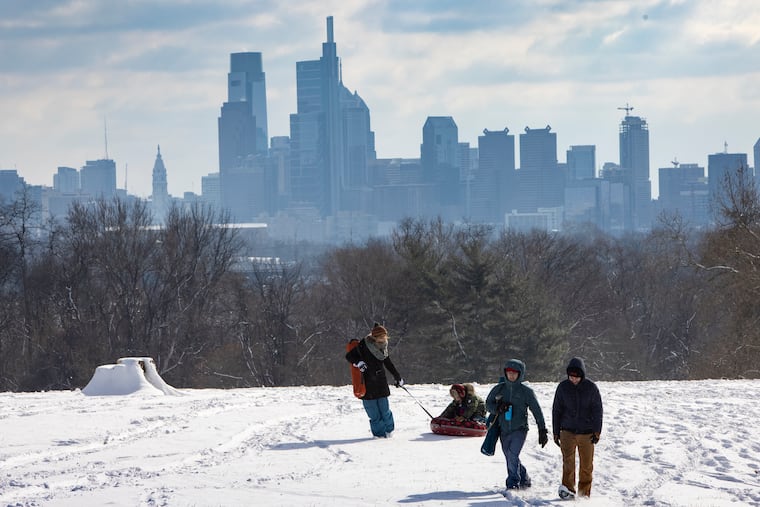
Snow (perhaps a thimbleful) is possible Sunday. Another weekend threat?
Computer models are hinting at storm potential next weekend, but don't be surprised to see that disappear.

It won’t be quite in a league with what just happened in Columbia, S.C., but Philadelphia could get a touch of snow late Sunday.
A puny “clipper” system approaching the area from the west might be able to mine the limited available moisture to coat the ground with a half-inch or so of snow late in the afternoon or evening, the National Weather Service said.
“It’s not going to be much,” said Sarah Johnson, lead meteorologist at the weather service in Mount Holly. “It’s going to be quite moisture-starved.” But she said the atmosphere has been so cold that it would induce high snow-to-liquid ratios, with perhaps enough snow to eclipse that “trace” that fell during Thursday’s nonevent.
» READ MORE: In Philly winters, expect anything
That said, the coldest stretch of the winter will back off a bit Sunday with highs in the mid-30s, above freezing for the first time since Thursday. Readings will be similar Monday, and into the low 40s Tuesday, but then another cold spell is due the middle of the week.
It got down to 15 at Philadelphia International Airport on Saturday, marking the fifth time this month that temperatures have fallen below 20, the first time that’s happened in January in three years.
But despite a sequence of long-range virtual threats on computer models, significant snow has eluded Philadelphia the last two weeks. The models have been showing big storms seven to 10 days out, Johnson said, but then start squishing them to the south.
On Friday, Columbia, S.C., picked up 2 inches of snow, and Friday parts of the North Carolina coast endured icing. Philly endured cold, dry winds.
» READ MORE: Rare blast of snow, ice takes aim at Southeast US coast
Looking ahead, the Climate Prediction Center sees the odds favoring below-normal temperatures around here into the first week of February.
And, yes, once again the models are hinting at the potential for a major East Coast storm.
“We’re watching for something next weekend,” Johnson said.
“We’ll see.”
