The Atlantic hurricane season may get an early start, with El Niño likely a factor, forecasters say
Forecasters aren't expecting an overactive season, but El Niño is a wild card.
With significant changes brewing in both the Atlantic and Pacific Oceans, the 2026 Atlantic hurricane season might get off to an early start, even if the overall storm numbers turn out to be less than impressive and it all ends quietly.
That’s the take from some meteorologists involved in the preseason outlooks, and they advise that a wild card this year may be the progress of what commercial weather services say could become a “super” El Niño.
Several tropical-storm outlooks already have been posted, and all see the odds favoring slightly below normal numbers of tropical storms, those with winds of at least 39 mph; hurricanes, cyclones with peak winds of 74 mph or higher; and major hurricanes, which have top winds of at least 111 mph.
On Thursday morning, the Colorado State University meteorology project, which in 1984 started issuing outlooks that would become prototypes for other forecasts, called for 13 named storms, with six hurricanes and two major hurricanes. That would be one fewer storm than average in each of the three categories.
Lead forecaster Philip Klotzbach said the timing and strength of a burgeoning El Niño in the tropical Pacific, where water temperatures are forecast to rise dramatically over millions of square miles of ocean, will be critical to the fate of the season.
But also worth watching would be warm waters in the western Atlantic, Caribbean, and the Gulf of Mexico, said John Feerick, a forecaster with AccuWeather Inc., which has posted a similar forecast, as have other private outlets.
Although the season doesn’t begin until June 1, “It’s not out of the question we could see something form in May,” he said. The season ends Nov. 30.
The El Niño effect on Atlantic storms
Less-active hurricane seasons are well-correlated with El Niño. During the 2015 and 1997 seasons, when the Pacific water temperatures were more than 3 degrees Fahrenheit above normal, tropical-storm activity in the Atlantic was well below normal.
El Niños typically have dampening effects on Atlantic tropical-storms development. During El Niño, the warming of the air overlying the ocean generates strong upper-air shearing winds from the west that can that can suppress storm development in the Atlantic Basin, which includes the Caribbean and the Gulf.
However, those effects likely wouldn’t ripen until mid-September or October, Klotzbach said, and wouldn’t have much effect in the early going.
As of Monday, the Pacific temperatures still were near or slightly below normal, according to the National Oceanic and Atmospheric Administration’s Climate Prediction Center.
The climate center said an El Niño, in which sea-surface temperatures would be around a degree Fahrenheit above normal, is likely to form during the summer, with an outside shot that it becomes quite potent, with temperatures as much as 3 degrees above the averages.
The atmosphere’s response to the warming may take a while. Some computer models are seeing a rapid El Niño development, Klotzbach said, but it remains uncertain how quickly that might happen.
If “we get a strong El Niño quickly, it could start to have significant impacts pretty quickly,” he said.
That possibility notwithstanding, AccuWeather’s Feerick said “it seems more likely to have an effect the second half of the season.”
While El Niño “can really kill storms late in the season,” added Klotzbach, it is unlikely it would be a player early in the season. In the end, the tropical storm numbers may exhibit “an early season skewness,” he said.
Meanwhile, in the Atlantic and the Gulf
Atlantic sea-surface temperatures have been quite warm the last several years. In addition to worldwide warming, cleaner air may be a factor, according to NOAA researchers.
Said Klotzbach, “It’s hard to quantify the exact amount, but certainly the Clean Air Act and associated reductions in pollution have been a marked contributor to the warming Atlantic” since around 1980. Reduced aerosols have allowed more sunlight to reach the ocean surface.
For now, at least, surface readings in the eastern and central tropical Atlantic are “slightly cooler” than normal, Klotzbach noted.
Conversely, they are above normal in the western tropical Atlantic, the Caribbean, and the Gulf, said Feerick, and the waters are “warm enough so there could be some early activity.”
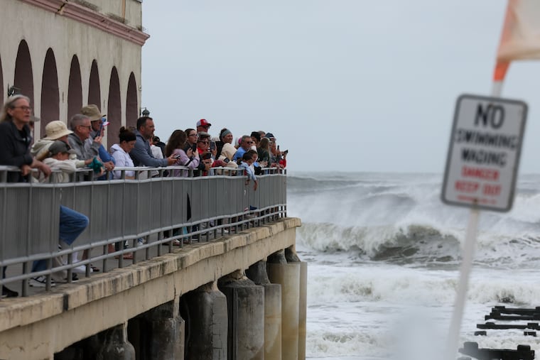
In the last 20 years, seven named tropical storms have made landfall in the United States in May, although none were hurricanes. A tropical storm in May 1948 was blamed for 80 deaths in the Dominican Republic.
How were the forecasts last season?
While the outlooks typically avoid specificity in landfall predictions, in terms of raw storm numbers, overall they have demonstrated considerable skill.
However, that was not in evidence last year.
With a cool Pacific and warm Atlantic, the major forecasting services, including NOAA, which will release its outlook next month, called for a hyperactive season in 2025.
As it turned out, only 13 named storms formed, six of which became hurricanes.
Meteorologists point out that the raw numbers don’t necessarily capture the ferocity of a season.
In late August in 1992, Hurricane Andrew buzz-sawed across South Florida and caused massive destruction.
It was the first named storm of the season. Only six others would follow, and the season ended long before the Andrew cleanup was completed.