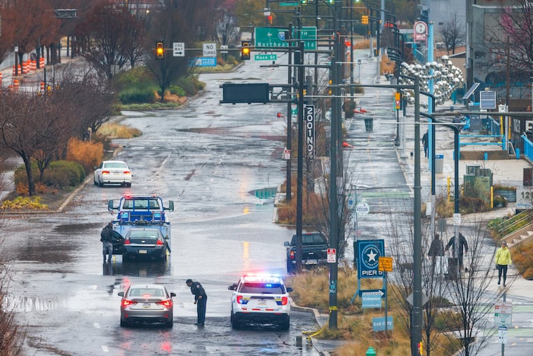
The Philly region is under a flood watch, with more heavy rain expected Wednesday and tornadoes possible in Delaware
A tornado watch was in effect for Kent and Sussex Counties, in Delaware until 7 p.m.

What is perhaps most remarkable about the run of rains that began in December and has lapped into the gloomy first days of April is the fact that the Philadelphia region has, somehow, evaded widespread significant flooding.
That luck may be endangered on Thursday, said Patrick O’Hara, meteorologist with the National Weather Service Office in Mount Holly, which has posted a flood watch for the entire region in effect from 5 a.m. Wednesday until 6 p.m. Thursday.
“It’s probably going to be a rough day,” he said. “It’s just coming all angles at us,” he said, adding that on Wednesday he expects “a lot of warnings flying around.” In addition to the rains, wind gusts to 45 mph are possible, the weather service says.
A tornado watch was in effect for Kent and Sussex Counties in Delaware until 7 p.m. Wednesday.
The main period of concern would be Wednesday afternoon into early evening, when potentially strong storms are possible, especially to the south of the city. The Phillies pushed back the start of Wednesday’s game against the Cincinnati Reds three hours to 4:05 p.m. in the hope of waiting out the rain, but the weather service lists a 100% chance of rain through 5 p.m.
Overall, an additional 1 to 3 inches of rain is expected to fall atop the 1.38 inches measured officially at Philadelphia International Airport on Monday and Tuesday.
What’s behind all the rain in Philadelphia
These are not April showers that have kept the region under nature’s very leaky dropped ceiling this week.
Four different weather systems are involved in the latest rounds of rains, said Dave Dombek, senior meteorologist with AccuWeather Inc., the most potent of them expected to be the one affecting the region Wednesday.
It is part of a mega-system that is affecting the Midwest, where tornado watches were in effect Tuesday, and forecast to consolidate into a significant coastal storm.
Flood watches and advisories cover all of Pennsylvania and Delaware and most of New Jersey on Wednesday, with winter-storm warnings in effect for northern New England.
While no waterways were forecast to reach major flood stage, the weather services noted that more than a score of them are expected to approach or exceed bank full.
The ground is saturated, plus the streams have been accommodating more than six months’ worth of rain — more than 24 inches of precipitation — since Dec. 1.
In Philly, December was the third wettest December, and last month was the fourth-wettest March on record. Rains are running well above normal region-wide in the last 30 days, according to the Middle Atlantic River Forecast Center.
How has the Philly region avoided major flooding?
The short answer, meteorologists say, is luck.
Minor stream and road flooding has been a frequent occurrence, however, flooding is very much about how much falls and how fast, and Dombek said the region has been fortunate in that so much of the rain has been of long duration.
It’s possible that the major flooding will be avoided Wednesday, he said. But a wild card is that the center of the coastal storm is due to pass quite close to the region during the afternoon, and “there might be some feisty thunderstorms.”
This is all due to clear out Friday, and sunny skies are expected to persist through Monday — eclipse day, when people won’t mind if the sun disappears for awhile.
