Flood warnings for parts of the region; water rescues reported in Philly and Camden County
Up to 2 inches of rain has fallen in the flood-warning area, baed on radar estimates.
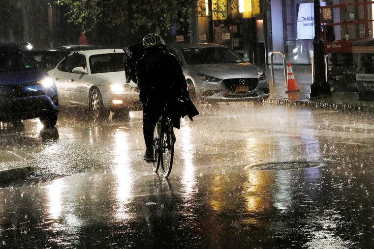
Downpours set off flash flood warnings for parts of the region Monday night, with numerous water rescues reported in Philadelphia and Camden County.
Based on radar estimates, up to 2 inches of rain had fallen in the areas where the flooding occurred.
An emergency manager reported that “multiple” vehicles were trapped in flood waters at 63d Street and Passyunk Avenue and motorists had to be rescued in Camden and Pennsauken, the National Weather Service said, culminating a wild night of weather.
This being June when randomness is the atmosphere’s standard operating mode, the arrival time, locations, and ferocity of the storms had more than elements of uncertainty, said Jonathan O’Brien, meteorologist with the National Weather Service Office in Mount Holly.
The storms began affecting the Philadelphia region after 7:30 p.m., and the weather service posted several reports of hail in Delaware County and Philadelphia between 8:30 and 9 p.m., with more storms possible later.
The government’s Storm Prediction Center had the entire region, and most of New Jersey, in the “slight risk” zone for severe storms, those with wind gusts as high as 60 mph.
» READ MORE: Apparent lightning victim at Burlington County golf course identified as 70-year-old Florence resident
In addition, the region, most of Pennsylvania, and all of New Jersey were at risk for “excessive rainfall,” according to the Weather Prediction Center.
The storm center and the National Weather Service Office in Mount Holly agree that while heavy rains were in play, the biggest threat would be from strong wind gusts.
The trigger mechanism is a cold front forecast to push through the region by early Tuesday, and a few lingering showers might follow.
» READ MORE: Philly Flower Show evacuated as downpours prompt flood warnings; 7-plus inches of rain in Chesco
However it appears that waning days of the astronomical spring will pass peacefully, with 80-ish temperatures and no more shower chances until Saturday.
Spring ends officially at 11:32 p.m. Sunday with the occurrence of the summer solstice when the sun beams directly over the Tropic of Cancer.
