Record warmth is possible this week in Philly, maybe into the weekend
The Phillies' cold bats might get a lift from the warmth.
This month is about to go into the books as one of the warmer — and drier, not to mention mercurial — Marches on record, and it looks as if April is about to enter doing a decent impersonation of June.
Record highs are possible in Philly Tuesday and Wednesday, and more records may fall this weekend.
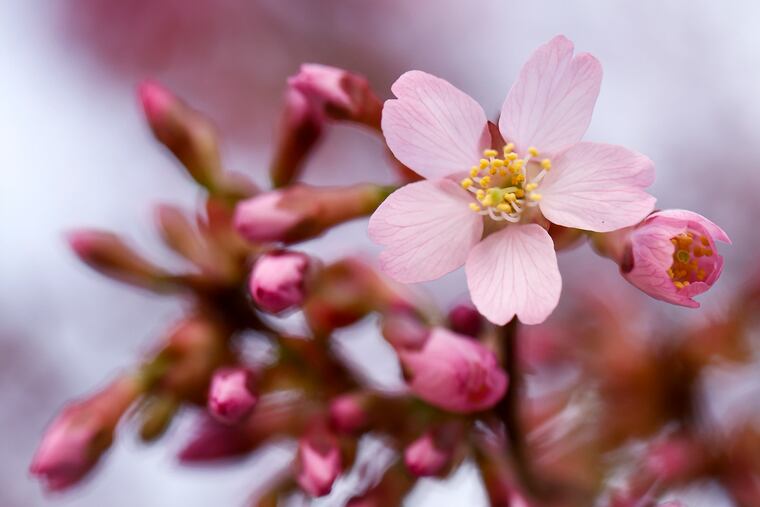
It should be a banner week for all those tree blossoms that are strongly hinting to the buds that they want out, and for the likes of the daffodils and other plants that aren’t waiting for the trees.
And some evidence suggests it also could become a way-better week for the Phillies’ hitters in South Philly (could it be worse?) — and certainly a warmer one for their fans.
The records that could fall this week in Philly
After temperatures dropped below freezing — perhaps for the last time this season — on Sunday morning, and reached 72 degrees Monday as March’s temperamental behavior persisted to the end. Wild day-to-day temperature swings have been a monthly refrain.
“The back and forth has been tough to handle,” said Tom Kines, senior meteorologist with AccuWeather Inc.
This week, however, is going to more forth than back. Tuesday’s forecast high, 82 degrees, would tie the record of 82, set just last year.
Wednesday, readings could approach the mid-80s, which would surpass the record of 81, set in 1978, after quite a snowy winter. Thursday is expected to be cooler, with highs in the mid-50s.
But then it may be back to June on Friday and Saturday, and records could fall on both days, Kines said.
March is going to end up well short on rainfall in the Philly region
Some showers are possible Wednesday and Wednesday night, with an outside chance of showers Thursday and Friday, after quite a dry March.
Precipitation for the month, 1.9 inches at Philadelphia International Airport, is going to end up being about half of normal.
Most of the region remains in a state of moderate drought, according to the interagency U.S. Drought Monitor. Philly’s rainfall the last two months is about two-thirds of normal, based on data from the Middle Atlantic River Forecast Center.
The dryness evidently has been about luck as much as anything else. “We haven’t had a front that just stops over us and gives us a few days of showers,” said Patrick O’Hara, meteorologist with the National Weather Service in Mount Holly.
Warmer weather, warmer bats?
The Phillies and their fans may have to contend with showers on Wednesday. But if the rains hold off, the warmth may be a decent antidote for the Phillies’ cold bats when they host the Washington Nationals in a day game at Citizens Bank Park, due to start at 1:05 p.m.
In a study of 22,000 games in the 2010 and 2011 seasons, two University of Nevada researchers found that batting averages were a robust 25 points higher in games played when the temperatures was 83 or higher, vs. games played in temperatures 50 degrees and under.
Plus, moist air is more favorable for the flight of the balls than denser dry air.
The extended outlook
The government’s Climate Prediction Center’s two-week outlook has odds favoring above-normal temperatures for the Philly region continuing into the Phillies’ next home stand.
The outlook is on the fence regarding precipitation.
You may have noticed that no measurable snow has fallen in more than a month.
At this point, it appears the next best shot at snow would be sometime in December.
