Philly’s temperature was in the 40s for a fourth straight day. That hadn’t happened in September since 1985.
Such September streaks used to be commonplace, but recent Septembers have been quite warm.
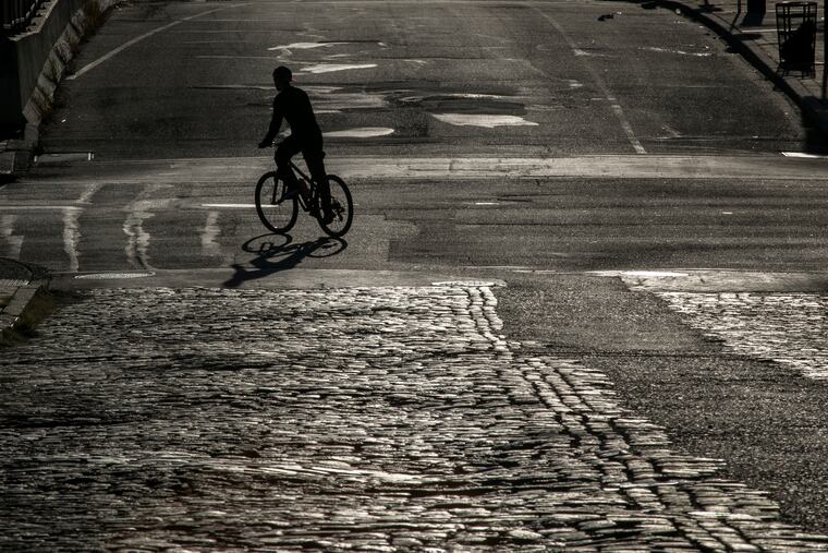
For the fourth consecutive morning the official temperature in Philadelphia fell into the 40s on Tuesday, a September streak that hasn’t been matched in 35 years.
After a clear and nearly windless night that allowed daytime heating to escape into space, the temperature dropped to 47 degrees Tuesday, as it had Sunday, when it was just shy of a record low for a Sept. 20, and Monday. It hit 48 Saturday. Those lows belong more properly to the second half of October.
This is not indicative of a planetary cooling; if anything the recent scarcity of such cool spells underscores how much landmasses have been warming.
Streaks of four or more September days with lows in the 40s occurred at least three times each decade in the 1950s, 1960s, and 1980s, according to National Weather Service records.
Since 1985, not a one.
“We’ve had some warm falls in the last 20 years,” said Paul Fitzsimmons, a meteorologist at the weather service office in Mount Holly.
» READ MORE: Record high temperature recorded in Philly after driest September in 12 years. Yes, the two are related.
In fact, temperatures in 16 of the last 20 Septembers have finished above normal, with none below normal since 2013.
Through Monday, this one was averaging 1.2 degrees below normal at the official station at Philadelphia International Airport, but a warming trend is due to gain some steam Wednesday with highs near 80 on into the weekend, and the 40s party evidently over for now.
That party was aided by conditions that have been ideal for “radiational cooling,” with mostly clear skies and not much water vapor in the air to trap in heat. With little wind to mix the temperatures at the surface, the so-called urban heat island effect, in which buildings and paved surfaces are reluctant to give up their stored daytime warmth, was dramatically evident Tuesday.
The overnight low in Blue Bell, Montgomery County, was 33, or 14 degrees cooler than PHL’s. Pottstown got down to 37, and Millville, 40.
» READ MORE: Why this deep South Jersey location is such a thermal outlier
“The difference is going to be most exacerbated on this kind of night," said Fitzsimmons.
The run of clear days and cool nights could have benign consequences in a few weeks: Forestry experts say they are the ideal ingredients to promote vibrant foliage color.
» READ MORE: Fall foliage outlooks are bullish for colors — and leaf-peeping crowds
