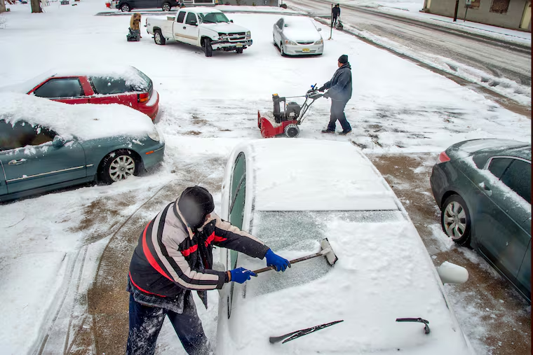
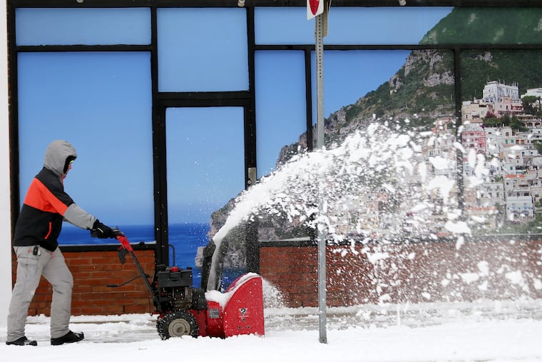
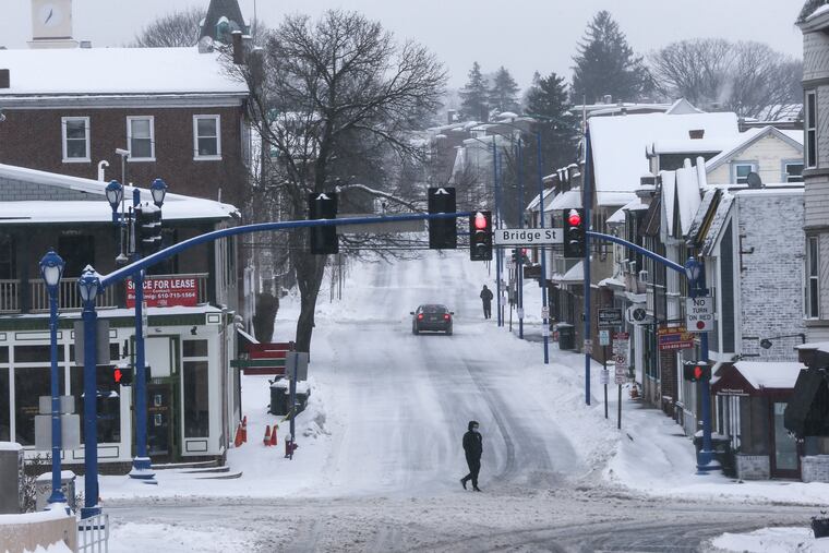
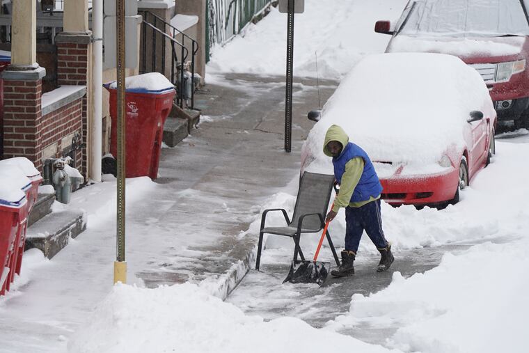
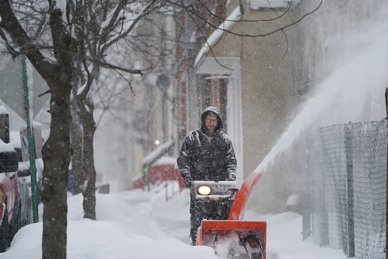
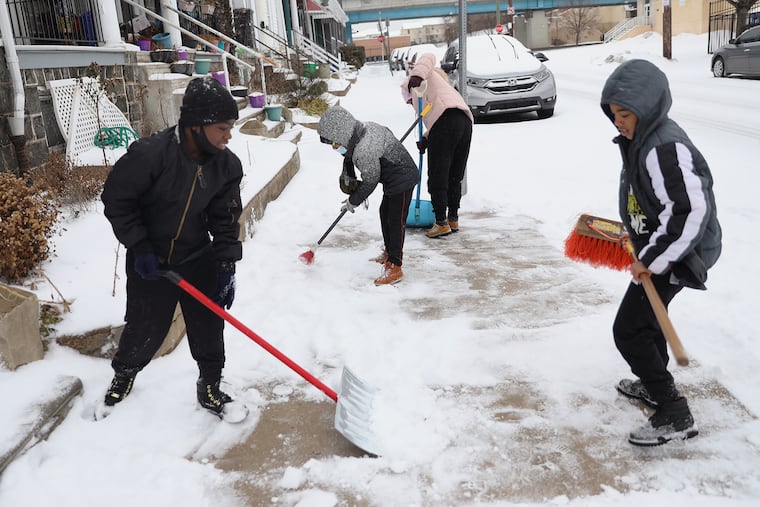
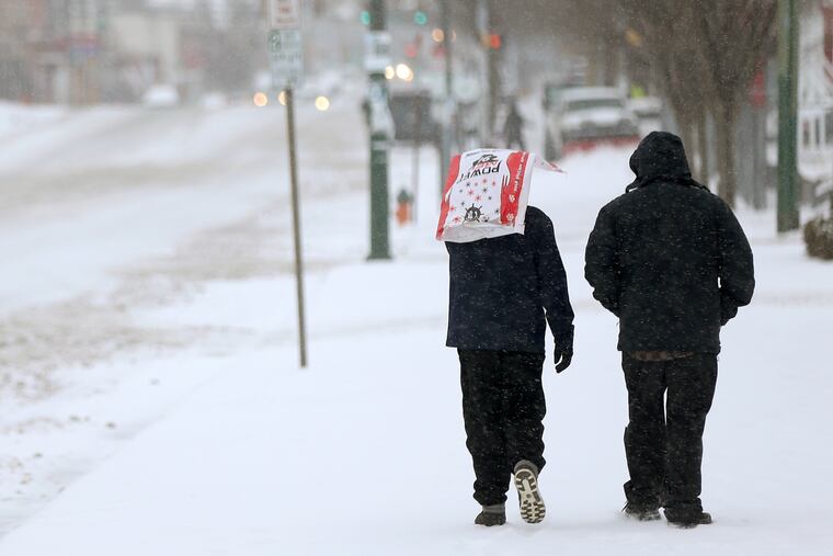
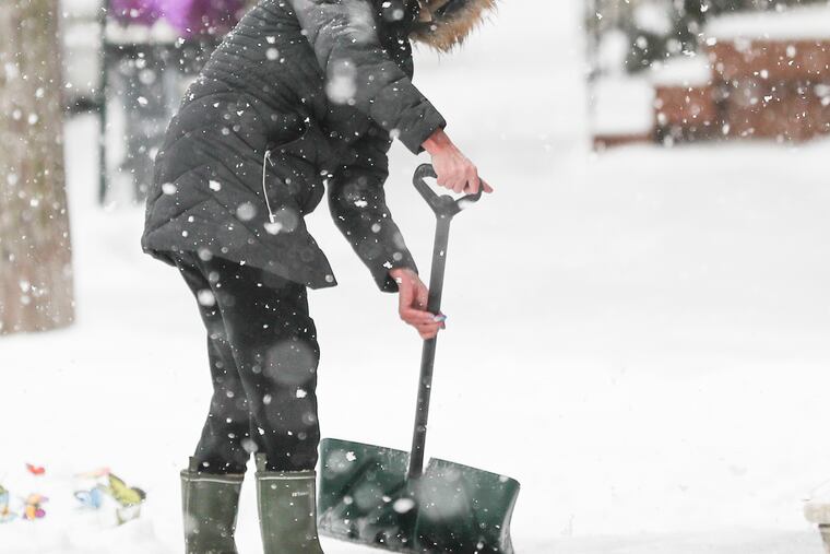
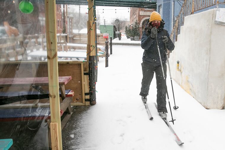
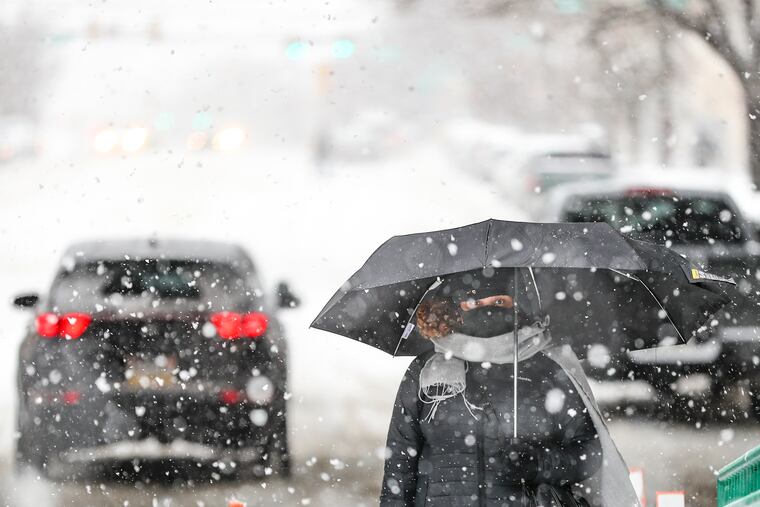
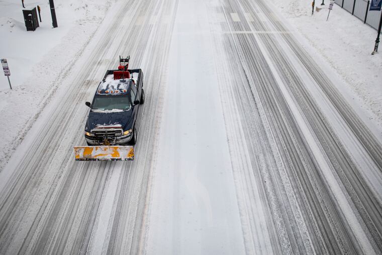
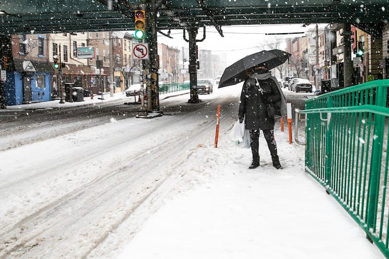
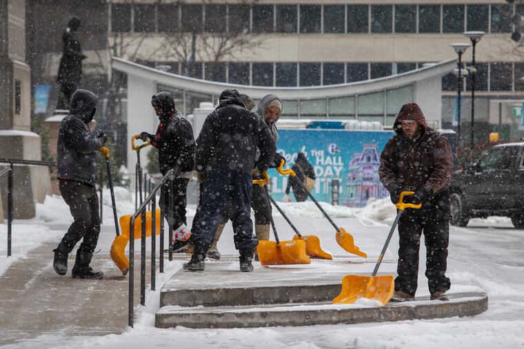
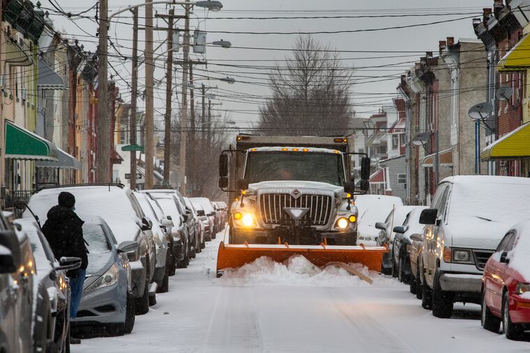
After up to 10 inches of snow in the Philly area; sleet, freezing drizzle, and icy roads persist into the night
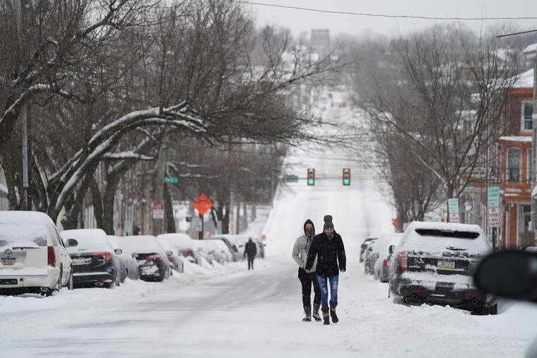
The snow accumulated rapidly in areas north and west of the city early Thursday, but totals varied wildly across the region.

By the time it took to brew a pot of coffee Thursday morning, more snow had landed upon a corridor arcing from Chester County into central New Jersey than had fallen all of last winter at Philadelphia International Airport.
It wasn’t so much the amounts — more than 10 inches in spots — but how quickly it all came from daybreak to late morning.
“They got kind of thumped pretty hard,” said Jeff Jumper, the Pennsylvania Emergency Management Agency’s meteorologist.
For the second time in 11 days, a significant winter storm that behaved like a meteorological quirk bomb resulted in dramatically different results depending on your location.
And yet again, this wasn’t terribly disruptive, at a time when the pandemic has been doing most of the disrupting. City school buildings were closed, as they will be again Friday, but hundreds of thousands of schoolchildren were sentenced to two days of virtual learning.
Philadelphia declared a state of emergency, and pushed back trash and recycling collections, but lifted the order Thursday night. And save for some temporarily detoured bus routes and train delays, for SEPTA it might as well have been partly cloudy.
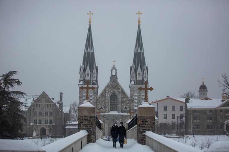
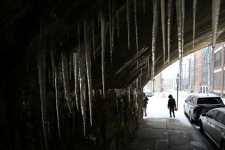
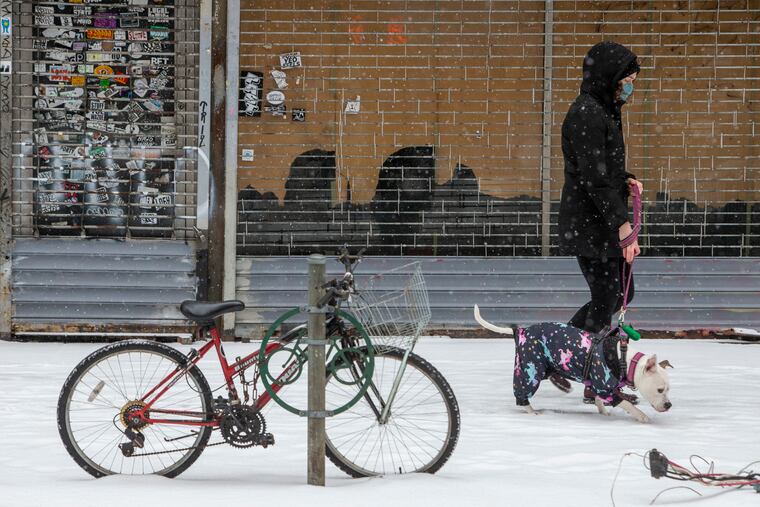
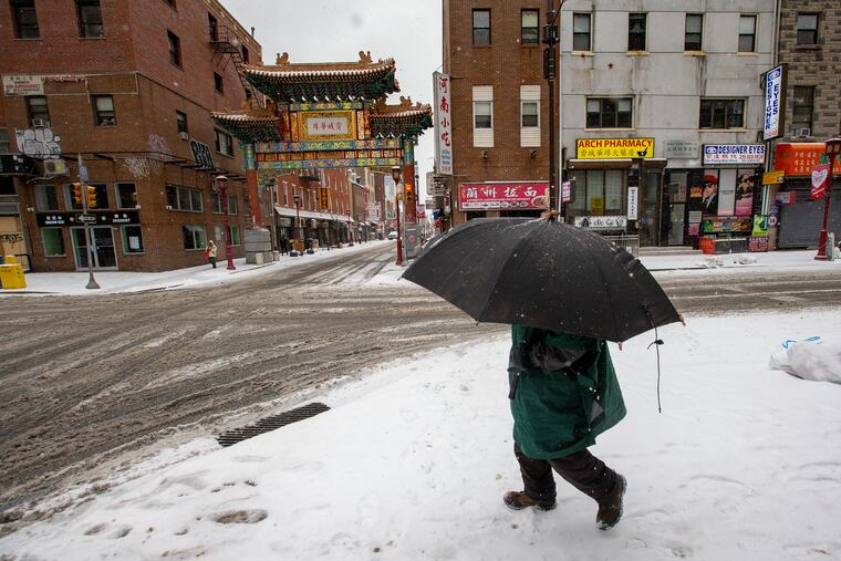
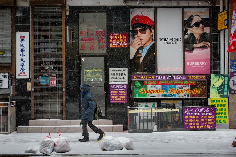
With temperatures in the 20s and snow amounts of several inches common outside the city and even in parts of Philadelphia, roads were smothered in ice and snow mixed with sleet that fell for several hours. Light sleet or “snizzle,” frozen drizzle, persisted into the night, but by then the snow had stopped piling on.


And forecasters say that should be it, at least for a while. Friday will be cold with highs in the 30s, and while the chill will continue on the weekend, Saturday and Sunday will feature a return of the most efficient snow melter, the sun, which has been chary with its appearances lately.
It will have some work to do, since much of the region endured a heavy period of sleet Thursday, with areas near the Shore getting pounded, and ice is slower to melt.
The snow and sleet totals ranged from 2.8 inches at Philadelphia International Airport to 10.2 in Norristown and Wayne. Philadelphia’s snowfall brought the seasonal total to 22.5 inches — a few flakes higher than the average for a whole season, and for those keeping score that would be 73 times what fell during the entire winter of 2019-20.
Elsewhere in the city, up to 5.5 inches was measured. On the Jersey side, totals generally were in the 3- to 6-inch range.
Once again, the areas along I-95 were in the atmospheric battleground near the dividing lines between heavy sleet to the east, and heavy snows to the west.
The computer models were having a particularly difficult time figuring out who was going to get the heaviest snow, as was the case on Feb. 7, when 10 inches fell in a band just to the west of where the heavy snow was this time, and 1.7 at the airport.
The National Weather Service Office in Mount Holly did not post a winter storm warning until late Wednesday afternoon, and even then the forecast discussion had more hedges than Longwood Gardens.
“It’s a complicated forecast,” said Joe Miketta, warning coordination meteorologist in Mount Holly.
» READ MORE: Why Philly storm forecasts have been conflicting and constantly changing this winter
As it turned out, most of the snow came in advance of a storm that migrated from the Gulf. Almost akin to what happens during thunderstorms, the warm air associated with it encountered stubbornly cold air at the surface — an ultralight leftover of the historic cold in the central United States. The air was forced upward rapidly and condensed as snow, said Brett Rossio, meteorologist with AccuWeather Inc.
The strongest forcing was focused along the heaviest snow band. Having so much snow concentrated in one area, in turn, kept totals lower on either side. The snow also got a kick from jet-stream winds approaching 200 mph about 40,000 feet up, giving the air extra lift, said Patrick O’Hara, Miketta’s colleague.
Chet Henricksen, former head of the local National Weather Service Office, said he measured 7 inches in just 3½ hours outside his home in Downingtown. He said he had not seen snow rates like that in more than 40 years.
Warm winds cut down on snow totals, however, as once again nature served the region an atmospheric parfait of air at different temperatures. A warm, thin layer, no more than 1,000 feet thick and about a mile up, was sufficient to melt snow that refroze as it passed through colder air on the way down and landed as sleet.
Rossio said the parade of storms is about to march off into the February sunset. The upper-air winds that steer storms are going to blow more west-to-east than they have been and the region should be in for a calm period for at least several days.
In other news, only 30 days until spring.
Staff writer Kristen A. Graham contributed to this article.
