If you think the weather at your home is colder and snowier than Philly’s official measurements, you’re probably right
Winter temperatures in some Philadelphia suburbs are closer to Boston's than they are to Philadelphia International Airport's.
Average winter low temperatures
PHL: 27.8 degrees
Doylestown: 24.3 degrees
Moorestown: 24.9 degrees
Millville: 25.1 degrees
Boston (BOS): 25.1 degrees
When the snow stops and the observations accumulate, the probabilities are high that the final official tally at Philadelphia International Airport will provide measures of dissatisfaction.
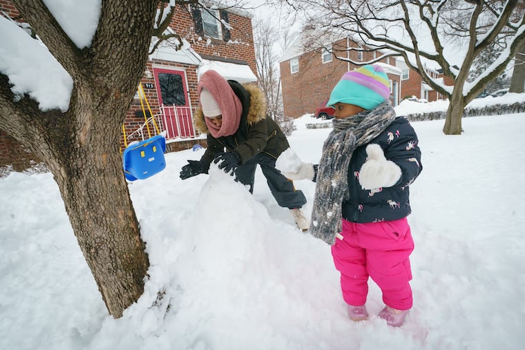
Through the years the airport totals have at varying times generated head-scratching, bewilderment, and skepticism. Sunday was a classic case study. Up to 10 inches was measured in the suburbs, and a mighty 1.7 inches at PHL.
But the controversies are unrelated to crooked rulers: The observers are required to follow detailed National Weather Service protocols.
It’s just that for various reasons, the weather where the planes take off and land isn’t necessarily representative of what most people in the region experience. It doesn’t even necessarily match what most Philadelphians experience.
» READ MORE: Snow job: Official ruler returns to airport
Technically, the city’s official measuring station isn’t in Philadelphia: It’s just across the border in Tinicum Township, Delaware County.
The observation differences between PHL and the inhabited areas of the region aren’t just about snow, which can be 10% to 50% higher away from where the official observers plant their rulers.
Average winter temperatures in some parts of the region — Doylestown, West Chester, and Lambertville, for example — are closer to Boston’s official readings at Logan Airport (BOS) than PHL’s, according to data assembled by the National Centers for Environmental Information.
Annual precipitation citywide and in the adjacent counties also appears to be a few inches higher than what plops into the official airport rain catcher, based on analysis of Middle Atlantic River Forecast Center data.
Any temperature or precipitation differences between the airport and the rest of the region would be unrelated to instrument issues, says David Ondrejik, meteorologist and chief hydrologist at the weather service office in State College.
All the observing sites in the NCEI database are vetted for validity, the agency says, and Ondrejik said automated observing equipment used at PHL is “the best available” and the site is “well-maintained.”
» READ MORE: No one lives at the airport. So why is Philly’s snowfall measured there?
Taken together, the data from the airport and 25 other sites on both sides of the river underscore that the region, with its complicated topography, has quite a variety of climates, including the special one at PHL.
About PHL
The weather service has been taking observations at the airport for more than 70 years, part of a national movement to accommodate the planes.
“In the 1940s and 1950s, most of the official observing sites in the United States were moved to airports to support the rapidly growing airline industry,” said Dean Iovino, a lead meteorologist and climate specialist at the Mount Holly office.
It has advantages: It has open spaces; it doesn’t move; and, in case of snow, human observers are available 24 hours to track snowfall, which is more labor-intensive than one might think.
For example, in the recent four-day storm, a paid observer had to measure Sunday night when the snow changed to sleet, and then every six hours until it stopped Wednesday afternoon, says Alex Staarmann, a Mount Holly meteorologist.
It is not a representative venue, however, being at one of the lowest points in the region, seven feet above sea level, and near two rivers, a swamp, and nonstop plane traffic. With so many heat-retaining buildings and runways not far away, the “urban heat island” also would be a factor, especially at night.
Nights aren’t like the days
Buildings and paved surfaces that retain warmth in the day are reluctant to give it up at night, and that’s a big reason that nights are so much cooler away from the city.
» READ MORE: Why this deep South Jersey location is such a thermal outlier
PHL’s normal winter low, 27.8 degrees, is among the highest in the region, but it’s even higher in Center City, 29.8 at the Franklin Institute.
By contrast, it is 22.7 at Valley Forge and 25.1 in Millville, areas well away from peak heat island effects.
Not far away from the airport, elevation becomes a factor as the terrain begins its slow, uneven climb toward the mountains. Temperatures decrease with height, and parts of Roxborough and Chestnut Hill are 450 feet above sea level, as are parts of Lancaster Avenue along the Main Line.
Those subtle rises can enhance rain and snowfall. Precipitation occurs with warm air rising over cold air, and the hills can give the air an extra lift. Annual precipitation in Philadelphia’s neighboring counties can be five inches higher annually than PHL’s.
The differences in snowfall are more dramatic.
Averaging about 21 inches for the winters of 2016-17 through 2018-19, PHL came in at No. 14 in an analysis of data from credible weather observers for 18 regional locations assembled by the phillywx.com chat board, ahead of only Wilmington, Atlantic City, and two deep South Jersey sites.
Then again, no one was living at the airport.
