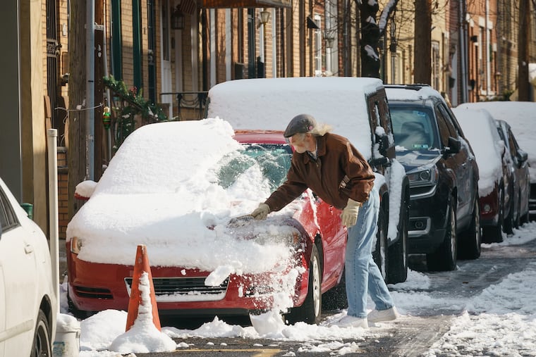
A significant winter storm is expected during MLK weekend in Philly
AccuWeather says 2 to 4 inches could fall Sunday night north and west of the city, with 1 to 3 in Philly. Wind chills near zero are expected Saturday morning.

No milk-run advisory is in effect just yet around here, but it is looking likelier that a rather nasty winter storm is going to affect the Philadelphia region along with population centers from Georgia into Canada.
The details remain quite fluid, but forecasters say the early thinking is that snow, perhaps a few inches, will overspread the region late Sunday before transitioning to ice and then rain early Monday. At the Shore, the region’s snow capital this month, the precipitation would be mostly rain, but with strong, “potentially damaging” onshore winds.
After rising into the 40s Friday, temperatures will start dropping in the afternoon, winds will gust past 30 mph during the night, and by Saturday morning “dangerously cold” wind chills will be near zero, the National Weather Service said. Afternoon temperatures won’t get out of the 20s on Saturday for the second time this week — dethroning Tuesday as the coldest day in three years.
» READ MORE: Tuesday was the coldest day in three years, with single-digit wind chills, and a late weekend storm is possible
That fresh air mass also will cleanse the air of those harmful particulates that set off a rather unusual January air-quality alert Thursday, and the atmosphere looks to get a thorough rinsing during the weekend.
And for the second time this week, the cold spell is going to be short-lived, but leftover cold air would be dammed east of the mountains, forecasters said, leading to periods of snow and ice at the storm’s onset before winds from the east import warmer air off the Atlantic Ocean. Sea-surface temperatures off Atlantic City were near 40 on Thursday.
Snow and ice are forecast to spread northward from Georgia on Sunday morning and reach the Philadelphia region by early Sunday evening, with the heaviest occurring late at night into the early morning hours of Monday. Highs are forecast to reach the low 30s Sunday and rise through the 30s Monday.
As for just how long the transition from frozen to liquid would take, “it’s still too early to tell,” said Amanda Lee, a weather service meteorologist in the Mount Holly Office. The center is forecast to track near the I-95 corridor. A more westerly path would mean mostly rain on the mainland; a more coastal track could produce a significant snowstorm.
» READ MORE: Why Philly storm forecasts have been conflicting and constantly changing this winter
The computer models have been predictably jumpy, but “our previous snow events have been pretty consistently forecast, at least within the 72-hour time frame,” said Steve Decker, atmospheric scientist at Rutgers University. Decker said he tends to defer his milk runs until 48 hours before the first flake sightings.
As usual, the specifics have been elusive, dramatically illustrated on Jan. 3 when Atlantic City was layered with 13 inches of snow, or 13 times more than landed at Philadelphia International Airport.
» READ MORE: How much snow fell in Philly and New Jersey after Monday’s storm?
Proximity to the ocean likely will have a reverse effect this time around, said Rob Richards, a meteorologist with AccuWeather. AccuWeather was calling for 1 to 3 inches in Philadelphia with 2 to 4 in the nearby suburbs. But Richards said it’s possible that the Washington suburbs could see up to 6 inches.
That ocean effect was evident in one of the nation’s most famous winter storms, on Dec. 25, 1776, when George Washington’s troops marched 10 miles through a wintry mix to surprise the Hessians.
About 10 inches of snow was reported around Philadelphia, but Thomas Jefferson, about 150 miles inland at Monticello, Va., measured close to 2 feet.
