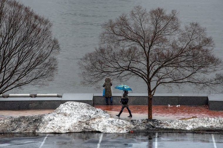
First snowflakes appear in the Philly region, but shovels still gathering dust
Philadelphia could see its first official "trace" of snow.

On the eve of the meteorological winter, the first snowflakes of the season appeared in the Philly region Tuesday, but November ended with the city still awaiting its first official “trace” of snow.
A few flurries were reported north and west of the city, and some of the flakes survived the generally dry air at least for a while.
But at day’s end, the National Weather Service reported an official “trace” of precipitation at Philadelphia International Airport, but that was for rain, said meteorologist Trent Davis. By definition, a “trace” of snow would be defined as a single flake spotted by an official observer at the airport. The upshot of it all is that dust continues to accumulate on the shovels around here and in much of the East.
» READ MORE: Philly winter forecasts call for early snow, a cold December, and a 100% chance of uncertainty
The system affecting the region Tuesday was “very weak,” said Dean Iovino, a lead weather service meteorologist, and that probably overrated it.
What’s more, although temperatures in the upper atmosphere, where they make this stuff, were below freezing, at the surface any flake that landed would have a snowball’s chance of sticking.
The daytime high made it to 45 at the airport.
Looking ahead to the first days of December, no shovel situations are on the horizon.
» READ MORE: So much has changed, but the magic and mystery of snow endure
Highs Wednesday, the first day of the Dec. 1 to Feb. 28 meteorological winter, will be in the mid-40s, slightly below normal; warm into the 50s Thursday and Friday; and back into the 40s heading into the weekend.
Computer models had been hinting at a chance of snow late Sunday, yielding to rain on Monday, but that was looking less likely as of Tuesday night.
The flow in the upper atmosphere has been quite “progressive,” said Paul Walker, a senior meteorologist with AccuWeather Inc., with systems moving quickly, and the snow threat has been trending north.
And while some of the outlooks have been bullish on a brisk start to the winter, the 8-to-14-day outlook issued Tuesday by the Climate Prediction Center has the odds favoring above-normal temperatures throughout the East.
They also see enhanced chances of above-normal precipitation, but it appears that Philadelphia will have to wait a bit longer for that first official “trace.”