Snow is snubbing Philly in January, and February is looking mild across the nation
For the first time since 1998, Philadelphia has no measurable snow during the first three weeks of January.
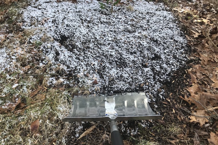
January snow in Philadelphia
Normal snowfall for Jan. 1 to 21: 4 inches
Snowfall for Jan. 1 to 21, 2021: Nothing measurable
Januaries with no snow by the 21st: 17
Januaries with no snow by the 21st since 1998: 0
For a good two weeks meteorologists and computer models have been warning Easterners about the pending arrival of frigid air from the Arctic. Maybe it’s stuck in one of those Postal Service processing centers.
Now, they say, that polar air might not get here, and the moderate cool-down that started Saturday, with maybe some snow early this week, might be as wintry as it gets for a while. The government’s forecast for February, posted on Thursday, favors above-normal temperatures for just about the entire country.
Some eyelash-freezing cold did escape from the polar regions and spilled southward — into Siberia — which evidently is having its coldest winter in 10 years with readings 60 below Fahrenheit and worse. But strong upper-air winds from the Pacific are keeping the chill from sloshing this way, despite an Arctic pattern that usually favors cold, active winters in the Northeast. That’s better than cold comfort for energy consumers, not necessarily for the slopes.
The entire Northeastern United States has had quite a mild run in January. Around here, “the ground’s not even frozen,” observes Bob Smerbeck, a senior meteorologist with AccuWeather Inc. “It’s not looking real good for snow-lovers.”
For the first time since 1998, Philadelphia had no measurable snow through the first three weeks of January. In short, it’s beginning to look a lot like last January, except that last January actually was snowier in Philly, with 0.2 inches having fallen on the 18th, two-thirds of the seasonal total.
» READ MORE: When winter doesn’t come: Here are the winners and losers of Philly’s nearly snowless season (from February 2020)
Computer models have been hinting at some potential for snow and/or rain early this week, but believe nothing until you see the white of the flakes. They’ve also been promising cold for weeks.
What happened to the polar vortex?
“The first true Arctic blast related to the displacement of the polar vortex, is slated for the period from Jan. 18-22,” AccuWeather said in a news release Jan. 10. But it followed up with a hedge five days later, saying, “It’s complicated.”
The vortex, a source of frigid outbreaks, is still swirling (see Siberia). It is behaving quite differently than it did last year, when it spent the winter spinning around the Arctic and confining the polar air.
This winter, the vortex circulation has been seriously disrupted, said Judah Cohen, a scientist with Atmospheric and Environmental Research in Massachusetts, allowing some of that frigid air to escape. But it didn’t seek asylum anywhere around here.
» READ MORE: For first time, Fairbanks, Alaska, hits 80 before Philadelphia; but our turn may be coming (from May 2020)
“These very large PV disruptions favor the more extreme cold in Eurasia and not North America,” he said.
A major player in North America has been the vast La Niña cooling of tropical Pacific surface waters, which are running about 2 degrees Fahrenheit below long-term averages. Interacting with the overlying air, the cool waters have resulted in a northward displacement of those west-to-east upper-air winds across North America that separate warm and cold air and drive storms.
Philadelphia’s temperatures are running 5 degrees above normal, with overnight temperatures even warmer.
Philly might be experiencing daytime highs in the 60s and 70s, rather than the 40s, were it not for conditions in the high latitudes and the North Atlantic that ordinarily would favor snow and cold in the Northeast.
Is this the future of winter?
Temperatures in the Northern Hemisphere have risen 0.47 degrees Fahrenheit per decade in the last 40 years, or close to 2 degrees total, said Ahira Sánchez-Lugo, physical scientist at the National Centers for Environmental Information, about triple the pre-1981 rate.
What that means to day-to-day weather in Philadelphia is complicated, since the warming has differed by location, nor is it distributed equally throughout the year, advises Sánchez-Lugo.
On average, Philadelphia’s January temperature over the last 40 years, 33.2, is only about 0.3 degrees higher than it was in the pre-1981 period, dating to 1874.
In the first 40 years of the 20th century, the average of 34.2 was a full degree higher than that of the recent period.
The snow situation hasn’t changed much; if anything, snow totals are slightly higher. This is the first time since 1998 that no snow was measured in Philadelphia from Jan. 1 through Jan. 21. Previously, in records dating to 1885, that was something that had been occurring about once every seven years.
What has been missing in recent decades are extended periods of subfreezing cold, and Philadelphia has now gone 26 winters without a below-zero reading.
» READ MORE: Much has changed in 2020. The magic and mystery of snow persist. | Book excerpt
After another day of above-normal highs in the 40s Friday, readings are expected to get no higher than the mid-30s into early this week, with a chance of some snow Monday and Tuesday.
One thing is all but certain: For the third straight year we will have no January thaw, a phenomenon that historically has occurred in about half the winters.
Not much to thaw out there.
