Snow (not much) in Philly region tonight; wind gusts up to 50 mph and squalls possible Wednesday
So far, only 0.1 inches of snow has fallen in Philadelphia this winter.
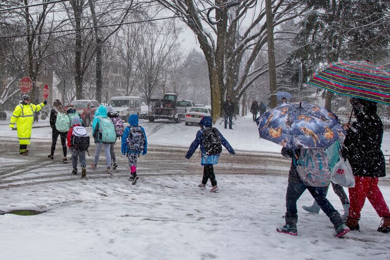
Tuesday’s snow likely will fall short of the record for the date by more than two feet, but nevertheless Philadelphia, forecasters said, could have its biggest snowfall of a slow-starting season. That, however, is not saying much.
“We don’t have a really high bar to reach,” said Sarah Johnson, a lead meteorologist at the National Weather Service Office in Mount Holly.
As of Tuesday, the 0.1 inches measured on Dec. 11 was the reigning leader; “traces” were detected on Dec. 16 and 18. On Tuesday night, Dec. 11 was holding its ground as the snow was slow to get going.
While some precipitation — some snow and some rain — moved into the region in time for the homebound commute, temperatures were well above freezing when it started. The storm was forecast to import cold air that would change everything to snow that could accumulate on grass, car tops, and trees.
Paved surfaces, still warm from a day when temperatures rose well into the 40s, will be more reluctant to accept a snow cover, and by morning the snow might be more decorative than disruptive. However, the National Weather Service warns that some icing is possible as temperatures drop to 30 degrees.
Behind the storm, expect wind gusts of up to 50 mph on Wednesday, temperatures in the 30s, and possible snow squalls, and a wind advisory is up from 8 a.m. to 10 p.m. Wednesday.
The agency had posted a winter-weather advisory for Southeastern Pennsylvania and much of South Jersey in effect until midnight, but later took it down.
Generally 1 to 2 inches had been forecast; however even those modest amounts were looking doubtful.
Snow began earlier in the day in the nation’s capital, where all government employees were ordered to vacate their work stations by 1 p.m. All of 2 inches was measured at Dulles Airport.
Snow deprivation isn’t all that unusual even into mid-January around here. The “normal” snowfall through Jan. 7 in Philadelphia is just under 4.5 inches, or about 20 percent of the usual seasonal total.
While it is true that the region was creamed with it biggest snowfall on record, 30.7 inches officially, during a first week of January — in 1996, 27.6 inches fell on the 7th, with 3.1 added on the 8th — that was a dramatic exception.
Johnson said she’s been telling the newer weather service employees in Mount Holly that Philadelphia’s significant snows tend to come from coastal nor’easters later in the winter.
This will not be one of them. Any snow Tuesday would be generated by a weak storm that will pass to the south of the region and gain some juice as it approaches the coast and lures cooler air that would change rain to snow.
Another brief cool spell Wednesday and Thursday, a major warmup is due, with temperatures forecast to approach the mid-60s on Saturday; the record for the date is 66, set in 1975.
And the longer-term outlook doesn’t hold much hope for quenching the desires of winter-philes.
The government’s Climate Prediction Center says odds strongly favor above-normal temperatures throughout the East through Jan. 20 as strong high pressure in the upper atmosphere takes control.
That said, Johnson cautioned, it’s early: “We have plenty of winter left.”