No one lives at the airport. So why is Philly’s snowfall measured there?
Snow totals in some areas north and west of the city have been 50 percent higher than the airport's.
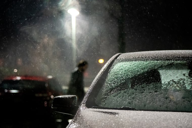
With the final tally, the official total at Philadelphia International Airport for the weekend storm was a mighty 0.2 inches, which was about two thin dimes deeper than the previous biggest snow of this winter, 0.1 inches on Dec. 11.
In a snow-starved winter, not many places in the region have been as starved as the airport, where the seasonal total stands at 0.3 inches, about seven inches below normal for the date.
In fact, among stations in the eight-county Philadelphia region with credible snow totals from reliable observers for the previous three winters, the airport is dead last, according to data assembled by the phillywx.com discussion board.
Snow measurement is a surprisingly complicated exercise, and the government’s 14-page manual on how to do it isn’t beach reading. “It’s one of the hardest elements to measure," says Sarah Johnson, a lead meteorologist at the National Weather Service office in Mount Holly.
Yet the overall disparities in snow totals between the airport and other locations are unmistakable.
PHL had a three-season total of 61.9 inches for winters 2016-17 through 2018-19 — close to long-term averages. On the full 18-station list, that put it ahead of only two locations in deep South Jersey and the airport stations of Atlantic City and Wilmington.
By contrast, more than 100 inches of snow was reported for the three seasons in four locations north and west of Philadelphia.
Why the big differences?
Besides being an uninviting venue for human habitation, the airport is ideally located for snow-deprivation. It is near sea level, is next to a swamp and the Delaware River, and is subject to the “heat island” effect resulting from its bounty of heat-absorbing paved surfaces and buildings, not to mention the nearby urbanization.
» READ MORE: Cold mornings, but on Philly 'heat island’ temperatures have been 8-10 degrees warmer than outskirts
Areas to the east are also near sea level, but are farther removed from Philadelphia’s maximum heat island effect.
To the north and west, the terrain rises, and temperatures decrease with height. On Saturday, for example, Roxborough, about 450 feet up, weighed in with more than four times the PHL snow total. (OK, it was only 0.9 inches.)
Two-inch totals were common in the adjacent Pennsylvania counties, and close to three was seen in upper Bucks County.
In short, the airport’s snow climatology isn’t representative of the region’s.
So why measure at PHL?
“It’s nice to pick a location that we know is going to stay in one place,” says Matt Kelsch, a meteorologist and veteran snow measurer at the University Corp. for Atmospheric Research in Boulder, Colo.
Airports tend not to move, and PHL has been the snow-measuring site since the 1940s. That the government tends to take official readings at airports has everything to do with the Federal Aviation Administration, which cares very much about weather.
PHL is one of only four first-order stations that report official snow totals in the weather service’s Mount Holly coverage area, which includes most of Eastern Pennsylvania and New Jersey, and the Delmarva Peninsula. All four are at airports — PHL, Atlantic City International, Wilmington Airport, and Lehigh Valley International.
» READ MORE: Where is temperature measured in Philly, and why?
In addition to being stationary, the airports have another advantage: Observers are available around the clock to measure snow right after it stops, and to clean off snowboards and take fresh readings every six hours if necessary.
The government prefers six-hour intervals, says Kelsch, since that coincides with the cycles of the global-forecast numerical models.
» READ MORE: The case of the disappearing snow: A stormy week — for the computers
Snowfall is not to be confused with snow depth. Snow depth is what’s on the ground. Snowfall is more evanescent, if not elegant; it is a measure of the depth before it has compacted or turned to slop.
Snowfall also is important for forecast verification, so meteorologists can track what’s going right or wrong.
It is important in tracking the course of climate change. It “gives us a more complete picture of what the climatology is around the area,” says Johnson.
It isn’t always a precise measure, and as long as humans have a hand in it, it likely always will be mixed with a certain subjectivity.
Temperatures and rainfall are measured automatically. Why not snow?
Snowfall is hard to get a handle on because it doesn’t always like to stand still. It drifts and melts and vanishes. Stick a ruler in the grass, says Johnson, and it’s apt to measure more air than snow.
In a blizzard, it becomes one massive white moving target. Measure under a tree, and totals likely will be less; on a patio, it might be radically more or less, depending on which way the wind was blowing, says Nolan Doesken, a former Colorado state climatologist who literally wrote the book on snow measurement, The Snow Booklet.
So far, no one has been able to invent a machine that can do everything that the government snow manual requires, like jamming a ruler into a pile of snow every six hours, or cleaning off a snowboard, or sensing when the snow’s over.
“Snow remains one of the few elements that is still measured manually,” says Johnson.
Says Kelsch, “There are real problems with automation.”
