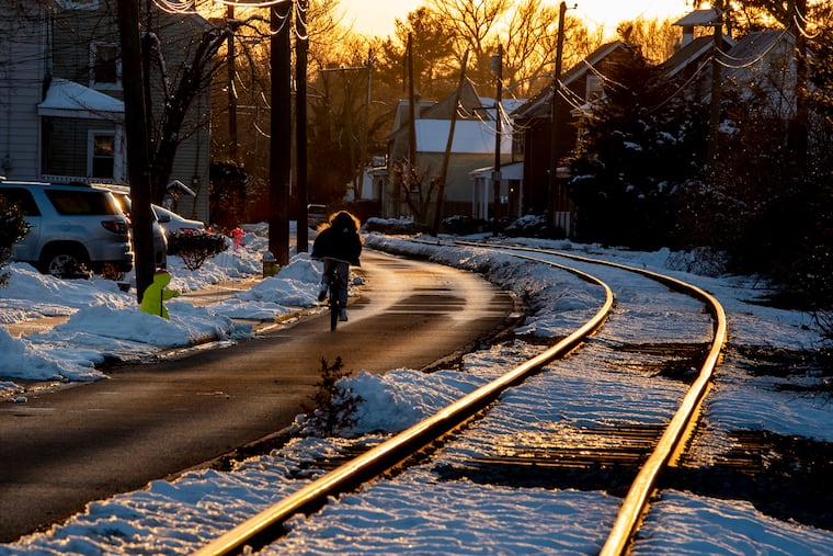
Snow, chill: Forecasts seeing a winter wonder week for Philly region
In the olden days, this was called “winter.”

Some snow is possible Wednesday night into Thursday, maybe some more on Friday, and something potentially bigger on the weekend. All this would unfold during a sequence of cold days and black ice nights.
For the benefit of our younger readers, in the olden days this was called winter.
Forgetting would be understandable: So far this season Philadelphia officially has had nine days of snow cover, compared with zero in the winter of 2019-20, and the 16.6 inches so far — and some areas outside the city have had way more — would be 55 times what fell all of last winter.
“I guess we’re paying for it now,” said John Feerick, a senior meteorologist with AccuWeather Inc.
Coming off a wild week in which they were hot and cold and then hot again on the storm that affected the region on Sunday, the computer models and the humans who read those virtual tea leaves could have a wilder time this week.
“It seems like it’s a really tough pattern for them to handle,” said Feerick. The “them” being the computer models, but by association, the people responsible for making the forecasts. “The systems are coming out in pieces. It’s like back-to-back-to-back.”
“We’re just kind of in the storm track,” said Patrick O’Hara, a meteorologist at the National Weather Service Office in Philadelphia. “Every couple days there’s a system going by.”
» READ MORE: So much has changed, but the magic and mystery of snow endure | Book excerpt
Colder air then will make an encore appearance, and a storm could affect the region Wednesday night into Thursday.
The National Weather Service sees a 60% chance of snow Wednesday night into Thursday, with perhaps 1 to 3 inches for the region. But the probability of volatility in the forecast is closer to 100%. Another dose of snow is possible Friday.
Last week the computer models saw a blockbuster storm or the first weekend of February. They lost it at midweek, regained some semblance of it by late Thursday, and had a rough time fixing on details.
The range of accumulations was dramatic and more typical of mid-March than early February. Officially, 1.7 inches were measured at Philadelphia International Airport; 3-plus inches elsewhere in the city; and 10 inches in the neighboring counties. Some areas got caught under a heavy snow band where cotton-ball snow was falling at the rate of what looked like an inch a flake.
» READ MORE: When winter doesn’t come: Here are the winners and losers of Philly’s nearly snowless season
Despite the winter rally, temperatures continue to average above normal for the season in Philly, and before the end of January, not much was going on out there.
“I would take boring again,” said Feerick.
