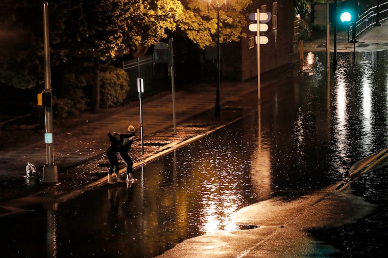
Another flood watch for Philly as Ida looks likely to become a major hurricane in the Gulf Coast
The storms will be in no hurry to move, thus more isolated downpours are likely.

Philadelphia’s vapor-laden air Friday morning was about as steamy as Miami’s. Atlantic City’s was even steamier, and thus it wasn’t exactly shocking that the region again found itself under an all-too-familiar flash flood watch in effect through 2 a.m. Sunday.
In addition, it appears that whatever is left of Ida — which grew into a hurricane Friday afternoon and is forecast to grow into a major one before making landfall on the Gulf Coast late Sunday — could have some effect on the region during the workweek.
A walk outside Friday was enough to drive the human body to wave the wet flag and head back indoors. The dewpoints, the measure of absolute moisture, were in the mid-70s in Philly, and 79 at Atlantic City, which is just about as water-laden as the atmosphere can get around here.
“It’s quite moist out there,” said Sarah Johnson, a lead meteorologist at the weather service office in Mount Holly. An approaching frontal system began was expected to begin tapping the faucet around Philly by mid-afternoon.
» READ MORE: Henri saturates New Jersey, but with rain totals far lower than tragic deluges in Tennessee
“The big threat is going to be heavy rain and flash flooding,” she said. With the upper-level in a state of torpor to rival what a lot of Philadelphians might be feeling, the downpours are likely to target their ferocity on certain locations to be named later.
“The storms aren’t going to be moving very much,” she said.
And almost right on schedule, around 2 p.m. a severe thunderstorm popped up in Chester County, and the weather service said it wasn’t moving very much. Some thunderstorm damage was reported, and downpours set off a flood advisory in Salem County.
It’s almost certain that some places will experience “significant” impacts, the weather service said, especially given all the antecedent rains.
» READ MORE: ‘100-year flood’ hits Bucks, Burlington Counties with more rain possible Tuesday
Setting off the showers is an alleged cold front that will break the heat wave — highs on the weekend will be in the 80s — but won’t do much to dry out the atmosphere.
Shower possibilities are in the forecasts from here to Thursday, and the weather service says Ida’s leftovers could generate heavy rains late Tuesday into Wednesday.
