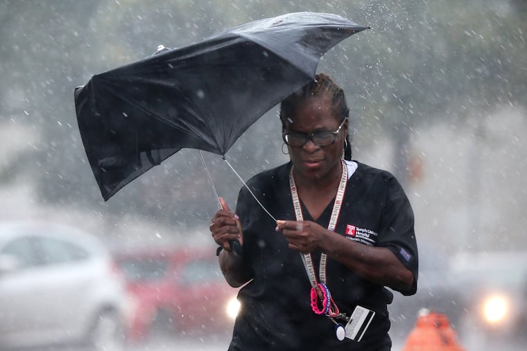
Potential coastal ‘bomb’ could disrupt Wednesday late-day commute; the seasons are a changin’
Rainfall in the last 30 says has been just 20 percent of normal in Philly. That's about to change.

The National Weather Service has bumped up the projected rain totals and peak wind gusts from a potential coastal “bomb" expected Wednesday, with thunderstorms possible during the peak late-day commuting period.
» UPDATE: What to expect for Wednesday’s rain and wind
Computer models have been almost unwavering in saying the a storm will blow up offshore, absolutely clock New England, and generate gusts of 50 mph at the Shore and 40 mph inland, a slight uptick from earlier forecasts.
Along the way it is expected to throw back significant rains upon the increasingly parched soils in the Philadelphia region and elsewhere in the East. The latest forecast calls for about 1.5 widespread inches of rain around here, maybe with thunderstorms after 3 p.m., just in time for SEPTA’s slippery-rail season.
A substantial portion of the East "has been exceedingly dry over the last month,” said Brad Rippey, a meteorologist with the U.S. Department of Agriculture, “but the area from D.C. to Philly has a pretty strong dry signal going back to mid-August.” Philadelphia hasn’t had rain of an inch or more on any day since Aug. 7.
Through Monday, rainfall amounts in the last 30 days generally have been a quarter to a third of normal in the Philadelphia region. In the city, less than an inch has fallen, according to the Middle Atlantic River Forecast Center, or a mere 20 percent of average.
» READ MORE: Philly saw a record high after the driest September in 12 years. Yes, the two are related.
“We’re going to put a big damper on that,” said Paul Walker, senior meteorologist at AccuWeather Inc. “This could bring us back to normal.”
Coastal flooding isn’t expected, said Lee Robertson, a meteorologist at the National Weather Service in Mount Holly, because the storm will move quickly and the strongest winds will end up being from the offshore direction; that is, primarily from the west. The weather service has posted a wind advisory for the Shore counties in effect from 10 p.m. Wednesday to 6 a.m. Thursday for possible 50 mph gusts.
However, leaf-fall and heavy rains are likely to conspire to result in significant road-ponding and nuisance flooding. “We’re going to have a lot of clogged drains,” Robertson said. (PennDot is well aware, said spokeswoman Chelsea Lacey-Mabe.
“The afternoon commute looks to be real rough,” said Walker.
He added that this will not be a classic nor’easter — which is a storm that generates winds from the northeast. Winds will be from the southeast Wednesday, and then out of the west at night, when they will pick up speed and gust past 35 mph.
The storm could qualify technically as “a bomb," a term invoked in a 1980 paper by MIT and McGill University researchers to describe a rapidly deepening cyclone. (In geek speak, it’s a storm that has a pressure drop of about 0.7 inches of mercury in a 24-hour period.)
It so happens that the East Coast of the United States is ideally situated to experience the fallout. The researchers identified two regions of the planet that are ripest for meteorological bombs — the vicinity of the Kuroshio Current, off Japan; the other, the Gulf Stream off the Atlantic Coast.
The temperature contrasts that are the lifeblood of cool-season storms sharpen in the Northern Hemisphere as the sun’s power retreats, and those currents are rich repositories of warm water that can intensify the contrasts that drive storms. This time of year, storms tend to become more well-organized, as opposed to the random showers of spring and summer.
Whether or not it meets “bomb” criterion makes about as much difference as whether a storm is tropical, subtropical, or post-tropical.
Unofficially, Wednesday is going to qualify as a nasty day, but the ground will be grateful .
“The upcoming rain will certainly help to moisten top soils,” said Rippey, and “allow lawns and pastures to start greening up; and tamp down the wildfire threat.”