El Niño is rapidly intensifying and could become the strongest on record and last through winter
And it may mean a gentler Atlantic hurricane season.
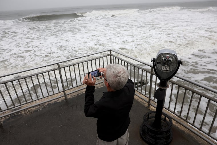
Warming in the tropical Pacific has been intensifying rapidly, and with increasing certainty government meteorologists say this El Niño event could become the strongest in records dating to 1950.
It is all but certain to have profound effects on the Atlantic hurricane season and the winter of 2026-27 across the United States. It’s also going to stick around.
In its Thursday update, the National Oceanic and Atmospheric Administration advised that El Niño would “strengthen through the end of the year, with a 97% chance it will last through early spring 2027.”
Sea-surface temperatures over a critical 2.4 million-square-mile portion of the tropical Pacific are running about 2 degrees Fahrenheit above long-term averages, more than qualifying for El Niño status.
In records dating to 1950, those temperatures have reached as high as 4.5 degrees above normal. In this El Niño event, the temperatures have a “43% chance” of reaching that level, said Michelle L’Heureux, physical scientist at NOAA’s Climate Prediction Center.
As for what impacts it will have, NOAA scientists point out that El Niňo will not be acting in isolation and that it would be impossible to know. However, based on past strong El Niños, expect unusual levels of strangeness for the next several months.
For Philly, it may have significance for the stubborn drought conditions, but that also could come with a positive development.
And its potentially benign effects on the Atlantic hurricane season may save some lives and yield a robust bonus for the U.S. treasury.
How does El Niño affect the U.S. weather?
El Niño events develop as part of a periodic natural process as east-to-west trade winds that push water into the western Pacific slacken, allowing prodigious, massive amounts of warm water to move eastward.
The warmer water interacts with the overlying air, setting off convective thunderstorms and altering west-to-east upper-air winds that deliver the weather to the United States and other parts of the world.
Reliable responses to El Niño include storminess in the southern United States and warmth in much of the northern states and Canada. For Philly, about the only constant has been weirdness.
How is El Niño affected by other phenomena?
El Niño is a crucial piece of the atmospheric puzzle in long-range forecasting. However, it also interacts with other phenomena, such as the Arctic Oscillation — shifts in atmospheric pressure between the Arctic and the lower latitudes, and an important driver of winter temperatures — and patterns in the North Atlantic, which “may reinforce or counteract each other,” said Johnna Infanti, a climate center meteorologist.
And when it comes to developing outlooks for the seasons, forecasters have to consider earthly phenomena such as changes in soil moisture and sea ice, she said.
“It is important to remember that an El Niño can shift the odds toward certain outcomes,” she said, “but the outcome is not guaranteed.”
That said, “stronger events can tilt the odds more heavily in favor of the expected outcome,” she added.
Was El Niño behind the July 4th weekend extreme heat?
The short answer in all probability would be no, Infanti said.
In summer, she said, “there is no clear link between above-average temperatures over the United States and El Niño.”
Besides, this El Niño is still a relative toddler. This one is expected to last for about a year, a typical lifespan, L’Heureux said.
While the sea-surface temperature has surpassed the El Niño threshold, “the atmosphere is still aligning,” said Matthew Rosencrans, NOAA’s lead hurricane seasonal forecaster.
As it intensifies and the atmospheric response strengthens, the impacts will become more evident, and they are likely to be significant during the peak of the hurricane season, from mid-August into September, he said.
That may be welcome news for residents and property owners along the Atlantic coast and for U.S. taxpayers.
How will El Niño likely affect the number of Atlantic hurricanes?
El Niño can generate powerful upper-air shearing winds that can suppress hurricane development in the Atlantic Basin.
In the six years in which sea-surface temperatures in the key El Niño zone remained 3.5 degrees or higher above normal for three months or more, the Atlantic tropical-storm season was far less active than normal.
The numbers for all named storms, those with winds of 39 mph or higher; hurricanes, which have winds of at least 74 mph; and “major” hurricanes, those with winds of 111 or higher, were substantially below long-term averages.
Among all federal disaster relief fund disasters, hurricanes are far and away the most expensive. In a congressional study covering the 30-year period through 1992, hurricanes accounted for 44%, or more than $150 billion, of all federal disaster money.
A potential downside would be that fewer storms would lessen the chances for any drought-relieving tropical-storm remnants. (On the plus side, the region would not have to deal with their attendant flooding: See Ida, 2021.)
Will El Niño affect the Philadelphia winter?
Looking way ahead, El Niño is not much help in determining how the winter might play out.
One characteristic of strong El Niños has been persistence of certain patterns. What happens tends to keep happening, since ocean temperatures change slowly.
The six strongest El Niños persisted into winter and left quite a disparate legacy in Philly. The winters of 1991-92 and 1997-98 were nearly snowless, and that of 1972-73 was the only truly snowless winter in Philadelphia history.
Conversely, snow was well above normal in the winters of 1965-66, even though no snow had fallen until the end of January; in 1982-83, when an all-out blizzard occurred in February; and in 2015-16, which featured a two-footer in January.
The upshot: Expect anything.