Freeze warnings in effect for areas outside Philly, and a frost advisory is up for the city
It is really November. High temperatures the rest of the week are expected to run several degrees below normal.
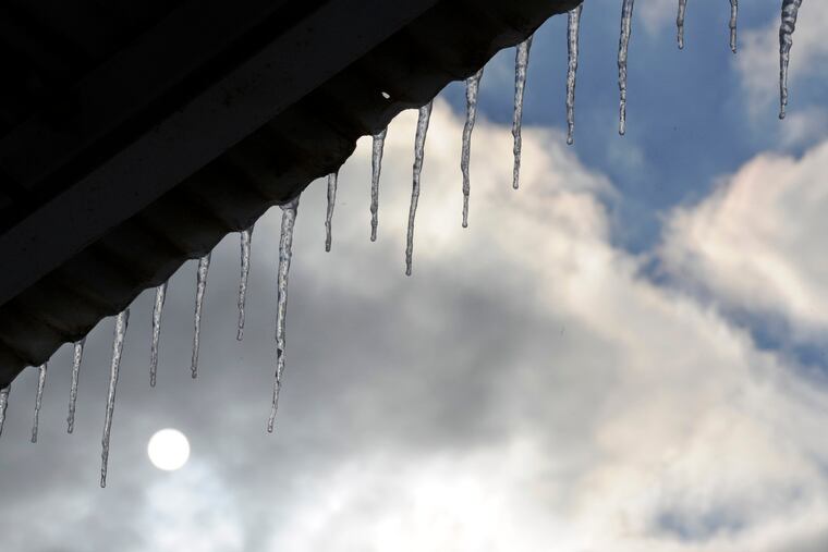
After the third-warmest October on record in Philadelphia, temperatures could fall into the upper 20s Wednesday morning in parts of the city’s northern and western suburbs where the National Weather Service has posted a freeze warning.
A frost advisory is up for the city itself, but the urban heat island effect likely will keep temperatures from falling below the upper 30s in Philly, said Mike Gorse, meteorologist with the weather service’s Mount Holly office.
The chill almost certainly is going to add to the leaf-removal tonnage, or to invoke poet Adelaide Crapsey’s eloquent description, “Like steps of passing ghosts, the leaves, frost-crisp’d break from the trees.” They don’t call it fall for nothing.
Some scattered light rain was expected during the afternoon Tuesday, but it should have no effect on Election Day turnout, which is ordinarily dismal in off-year elections. (Besides, research on weather’s effects on turnouts is rather conflicted.)
» READ MORE: Election Day weather: Near 100% chance it won’t affect voter turnout
A cold front is due to sweep through the region Tuesday night, with temperatures falling into the 30s after midnight. Just how far they tumble will depend on how quickly the front routs the clouds.
With light winds and generally clear skies allowing daytime heat to radiate into space, temperatures are expected to go below freezing in the city’s neighboring Pennsylvania counties and perhaps in the Pine Barrens.
Early-morning readings could vary a good 8 to 10 degrees between the core of the city, with its heat-retaining building and paved surfaces, and areas a few miles away.
The rest of the week should be chilly, with highs in the 50s — several degrees below normals — with lows in the 30s.
» READ MORE: First frost and freezing temperatures invade Philly region; 'heat island’ spares city
Philadelphia’s first official freeze, the first day on which the official temperature at Philadelphia International Airport reaches 32 degrees, isn’t yet on the radar, and that is in keeping with trends of recent years.
In the 21st century, on average the first freeze has been occurring in mid-November, about a week later than the average in prior years in records dating to 1874.
Climate change would be a factor, and that also likely has something to do with the official temperature being taken at the airport.
» READ MORE: Fall is getting warmer in Philly. Here’s what that means for trees, ticks, and birds.
Falls generally have been getting warmer, and October 2021 did its part. With an average temperature of 64.0, or about 6 degrees above normal, it was the third warmest in Philly’s period of record, the weather service said, trailing only 2007 and 2017.
That would help explain why so much greenery has intruded into November. But keep the rakes handy.
