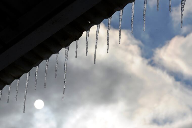
Winter weather advisory for ice in effect for the Philly region. The coldest days in 3 years to follow
Temperatures Tuesday and Wednesday might be the lowest since February 2019. Wind chills Tuesday morning will fall into single digits.

Rain and subfreezing temperatures could lacquer some of the region’s roads with a dangerous gloss of ice Sunday morning, and the National Weather Service has posted a winter weather advisory for areas west of the Delaware River.
With the leftovers of that jackrabbit-quick dose of snow early Friday refrigerating the air and adding to the chill, forecasters said, temperatures were forecast to fall into the low- and mid-20s Saturday night.
Readings would slowly rise during the early morning hours of Sunday, they said, but rain could arrive a few hours before temperatures crack freezing later in the morning.
“It’s a pretty good bet it’s going to start as freezing rain from Philly on west,” said Jonathan O’Brien, meteorologist with the National Weather Service office in Philadelphia.
Although “it’s a little more marginal for the city, itself,” he said, the advisory, in effect from 7 a.m. to 1 p.m. Sunday, does include Philadelphia. The rain could freeze on contact with paved surfaces, and an informal Inquirer survey indicated that few winter experiences are more unwelcome than driving on ice.
» READ MORE: To treat icy roads, highway agencies look to grapes, cheese, and vodka as alternatives to salt
After a warm front pushes through, just plain liquid rain is expected to continue well into Sunday night. Then a cold front is forecast to arrive, followed by another one Monday that could ice the region with its lowest temperatures since the first two days of February 2019.
Wind chills Monday morning are expected to fall into the upper teens, and into single digits Tuesday morning with northwest winds gusting past 20 mph with temperatures in the teens and not getting past the low 20s in the afternoon.
Wednesday’s forecast low for Philly is 11.
“It’s definitely going to be a cold stretch of days,” said Joe Curtis, a meteorologist with AccuWeather, as frigid air pours in from Canada. Temperatures will moderate later in the week, he said, and after quite an adventurous winter week in the region no more snow ― or snow threats — were expected during the workweek.
» READ MORE: Here’s how much snow fell Friday.
For those keeping score, the official 2.9 inches measured Friday at Philadelphia International Airport upped the seasonal total to 3.9, meaning it can finish no lower than 134th place for seasonal snowfall in the 138-year period of record.
Amounts generally were higher elsewhere, including in that Winter Wonderland known as the Jersey Shore. Atlantic City added 4.2 inches to the 13 it received Jan. 3 — the day after it set a high-temperature record for the date, at 62.
» READ MORE: Storm brings more than a foot of snow in parts of South Jersey, less than 2 inches in Philly
