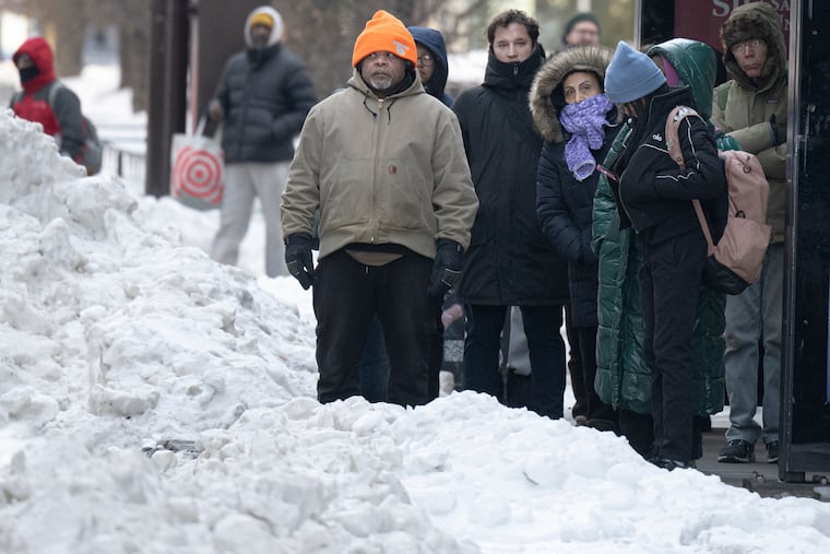
It’s ‘Groundhog Day’ in Philly this week as snow and ice persist
Some light snow is possible Tuesday night, and Friday.

If it appears that the tenacious meringue of snow and ice that landed on the region two weekends ago hasn’t budged, it hasn’t.
Among Philadelphia winters, this one is approaching a rarefied status.
Not long after Phil predictably saw his shadow in Punxsutawney, the National Weather Weather Service contractor at Philadelphia International Airport reported a snow depth of six inches on Monday.
That marked the eighth consecutive day of a snow cover of at least six inches, a streak unmatched since February 2010 — which included a five-day period in which 44 inches of snow had fallen.
And what’s out there now may get a fresh frosting on Tuesday night that could affect the Wednesday morning commute, and perhaps snow squalls on Friday with the approach of another Arctic front as the freezer reopens.
Don’t be surprised if next Monday morning looks a lot like this one.
“The snowpack is not going anywhere,” said Amanda Lee, meteorologist at the weather service office in Mount Holly.
What explains the durability of the snow cover
The primary factor locking in the regional glacier has been the obvious — the cold. Sunday marked the ninth consecutive day that temperatures failed to surpass freezing, the longest stretch since 2004. The temperature did reach above freezing at Philadelphia International Airport on Monday.
Temperatures since Jan. 24 have averaged 14 degrees below normal in Philly. January temperatures ended up finishing 2.2 degrees below normal, even though the month had a nine-day warm spell in which the highs went past 55 on five days.
In addition to the cold, the icy layers of sleet that have put a cap and a patent-leather sheen on the several inches of snow that fell Jan. 25, have limited melting. Ice is way slower to melt than snow.
Eight days after an official 9.3 inches of snow and ice was measured officially, about two-thirds of it has survived.
The forecast for the next several days
The region is in for a modest — very modest — warming trend. Readings cracked freezing Monday, reaching 35 degrees at 4 p.m. and are forecast to top out near 32 on Tuesday and Wednesday, and hold in the upper 20s Thursday. Those readings still would be several degrees below normal.
Some light snow is possible Tuesday night, “maybe up to an inch,” Lee said. The weather service on Monday was listing a 72% probability of something measurable — defined as 0.1 inches or more — falling in Philly.
Given the cold and the solidly frozen paved surfaces, “it could make things slippery for the morning commute on Wednesday,” said Matt Benz, senior meteorologist with AccuWeather Inc.
Friday afternoon, he said, the region could see snow squalls — brief, mini-blizzards that can come on without notice and reduce visibility dangerously.
Then it’s back to the freezer with expected weekend lows in single digits and highs struggling to reach 20.
For those ready for something completely different, NOAA’s Climate Prediction Center on Monday suggested the potential for significant pattern change, although this may require a little patience around here.
Its extended outlook for the six-to-10 day period that begins Sunday has most of the nation warmer than normal, with odds strongly favoring below-normal readings in the Philadelphia-to-Boston corridor. But a “rapid warmup” in the Philly region is possible around mid-month, the climate center says.
In the short term, it appears that Philly is in for a repetitive sequence evocative of the 1993 movie classic Groundhog Day.
“We’ve had lots of very similar days,” Lee said.
We’ve noticed.
