Philly’s biggest snow in 10 years has an icy finish, and it isn’t going anywhere soon
It hadn’t snow this much since Jan. 22-23, 2016
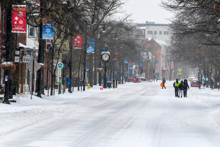
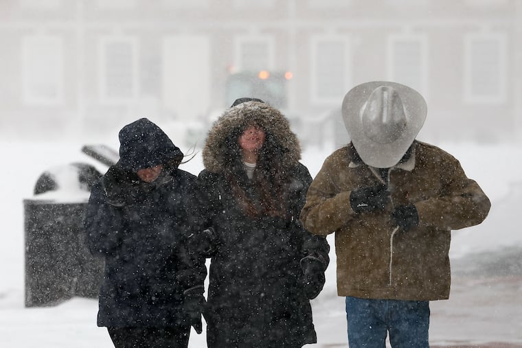
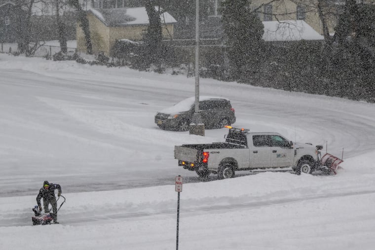
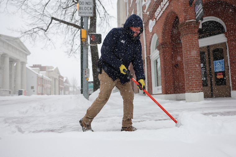
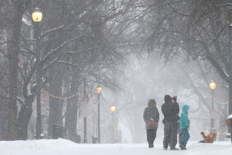
Hours of percussive sleet layered a nasty icing on Philadelphia’s biggest snowfall in 10 years Sunday, and it may be some time before bare ground resurfaces in the region, if not normality.
“We’re going to have a rather glacial snowpack for the foreseeable future,” said Alex Staarmann, meteorologist with the National Weather Service in Mount Holly.
This is not the stuff of postcards.
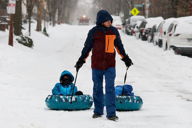
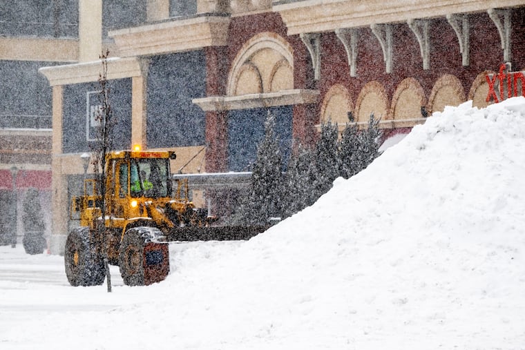
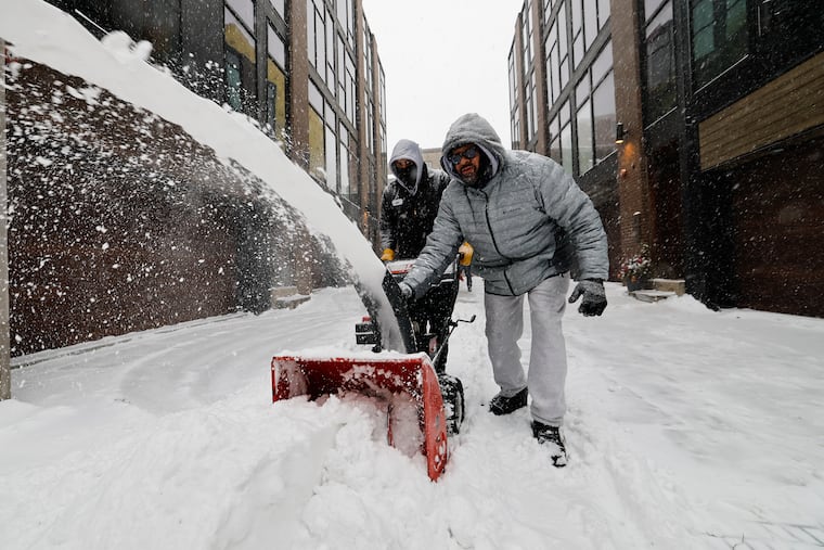
Officially 9.1 inches of snow was measured at the unusually quiet Philadelphia International Airport, with similar amounts reported at some locations in the neighboring counties, as temperatures were stuck in the teens around Philly. Skippack, Montgomery County, reported just over a foot. For Philly, it also was a record for a Jan. 25.
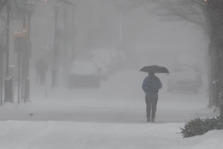
Late in the morning, the snow flipped over to sleet, which continued in the evening and added to accumulations through the region, including an additional 2.5 inches at the weather service Mount Holly office.
Sleet — liquid that freezes before it lands — counts as snow in official measurements. In some places it fell at the rate of 0.5 inch an hour, the weather service said, an extraordinary rate for sleet.
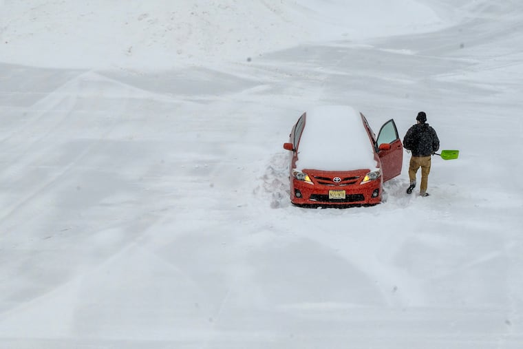
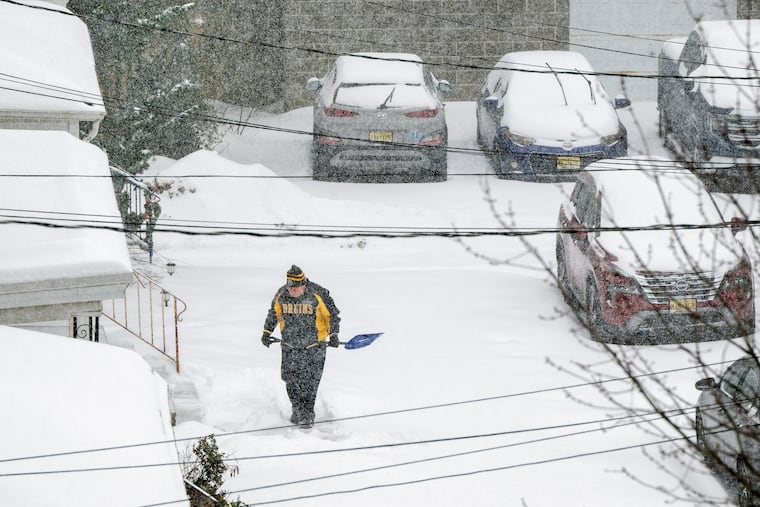
And shovelers beware: That mess may weigh as much as a foot or more of pure snow. Besides, we may be out of practice. This was the most snow since the 22.4 inches of Jan. 22-23, 2016.
Along with sleet, some freezing rain — liquid that freezes on contact with a surface — was possible Sunday night, said Nick Guzzo, meteorologist at the National Weather Service in Mount Holly.
However, only scattered power outages, a function of the unusual behavior of a potent but peculiar storm that wrought a familiar set of disruptions and inconveniences.
At the airport, 651 of 672 flights were canceled Sunday, said spokesperson Heather Redfern, with the last departure at 10:30 a.m.
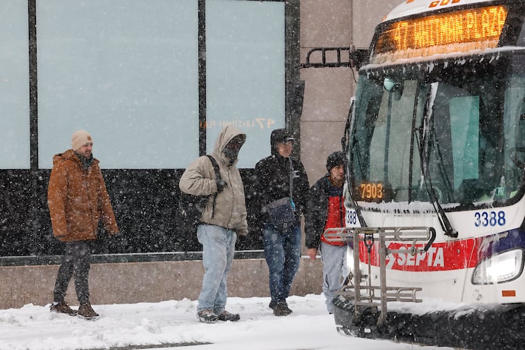
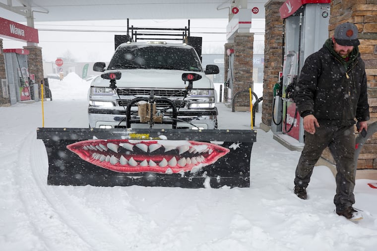
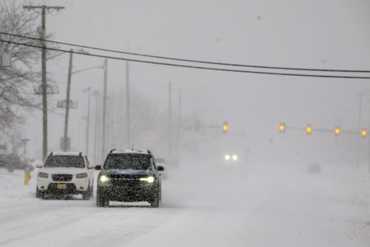
SEPTA suspended Regional Rail and bus service at 2 p.m. Sunday. Schools decided preemptively to close on Monday. Speeds were reduced on highways. Mayor Cherelle L. Parker advised everyone to stay in their houses and out of their cars.
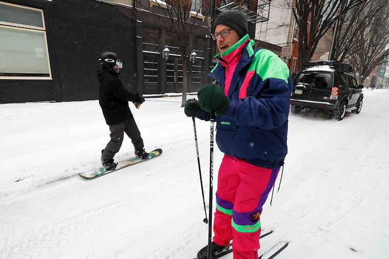
Malls and other businesses called it a day. Blue Mountain decided to suspend ski operations until Monday at noon — and when was the last time a ski outfit shut down because of snow, of all things?
All things considered, a trauma-free day
For the abject unpleasantness of the weather Sunday, the region for the most part appeared to be trauma-free.
That probably had something to do with the fact that it was indeed, Sunday, and that the storm may have set an unofficial record for a pre-event drumbeat.
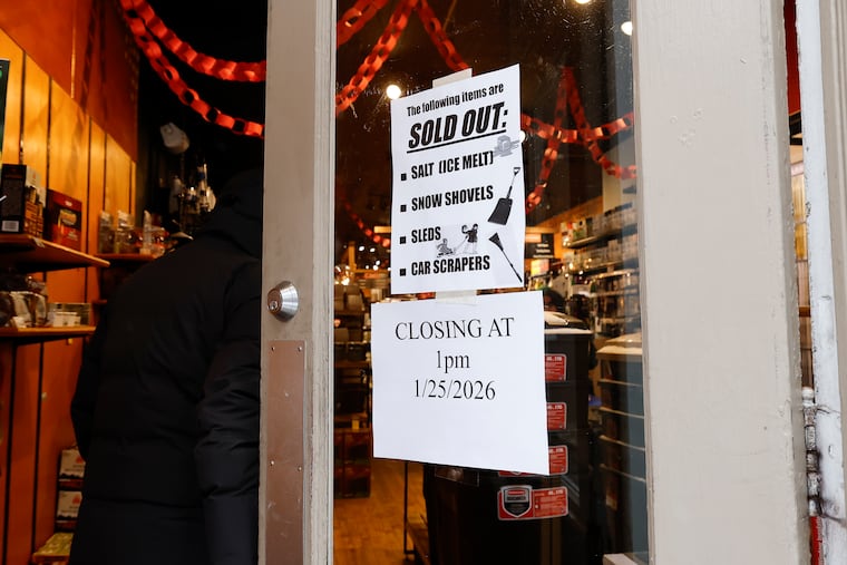
Computers had been on to something big happening for about a week, at one point suggesting historic amounts of snow for Philly. The anticipation and anxiety evidently were major boons to local supermarkets — where carb shortages and human stampedes were reported — and hardware stores.
In the end, the storm did unfold pretty much as the late-week forecasts suggested, with a thump of heavy snow in the morning with several inches accumulating.
One not-so-mild surprise was the cold, with temperatures during the day Sunday several degrees below forecasts.

The cold had a benefit: It resulted in a dry, powdery snow, said Tom Kines, senior meteorologist with AccuWeather. That robbed the region of that postcard look as the moderate winds were able to shake it off the trees, but it also reduced the power-outage potential.
For those who have endured long power outages, it very likely was worth the aesthetic deprivation.
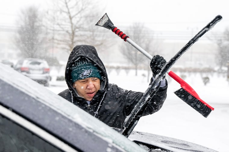
When the snow turned to sleet during the late morning, temperatures were still in the teens, and the ice balls accumulated on the snowpack, adding unwanted weight.
The ice also will add endurance to the snowpack, meteorologists said. Snowflakes can out-melt ice anyway. So forget the yard work for a while.
The sleet was likely to yield to freezing rain Sunday evening along and near the I-95 corridor, the weather service said, perhaps adding up to 0.2 inches of ice, especially south and east of the city.
The precipitation was due to shut off during the early-morning hours of Monday. Then, the melt is going to take its good old time.
Temperatures Monday are expected to be in the upper 20s.
Then, it’s going to turn colder.
Highs in Philly will struggle to reach 20 Tuesday through Saturday, with overnight lows in the single digits.
The next several days should be dry, said Kines. Some talk is brewing about a storm threat late next weekend or early in the week, but that can wait for another day.
Staff writer Michael Klein contributed to this article.

