Some places got 10 inches. But in much of Philly, it was the case of the missing snow.
Thunderstorms in the Deep South, hallucinating computer models, and a winter's worth of warmth help explain what conspired against the forecast.
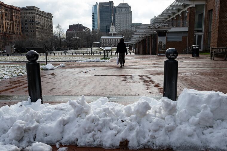
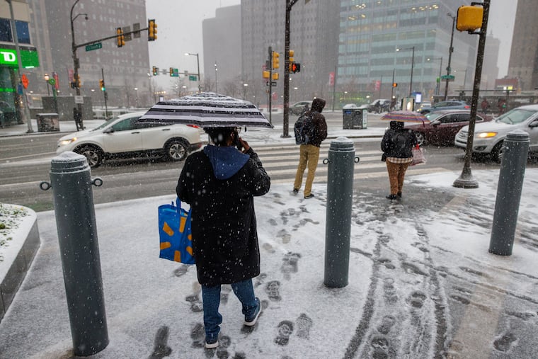
The snow forecast for downtown Philadelphia and adjacent South Jersey, as it turned out, was right on the money.
At least the one that the National Weather Service posted at 5:22 a.m. Monday. It was suggesting maybe an inch for Center City and environs to the south and east.
The weather service would update the projected accumulation map three times between 4 p.m. and 10 p.m. Monday, expanding a winter weather advisory zone to Philly; Burlington, Camden and Gloucester Counties; and northern Delaware, forecasting a general 2 to 3 inches of snow. It also lowered amounts for the Poconos.
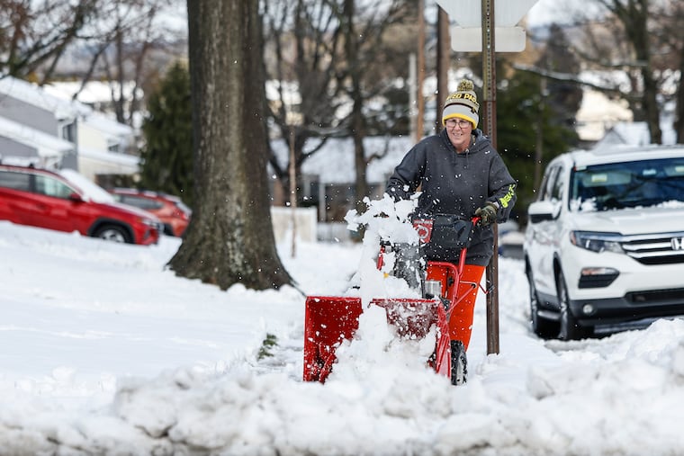
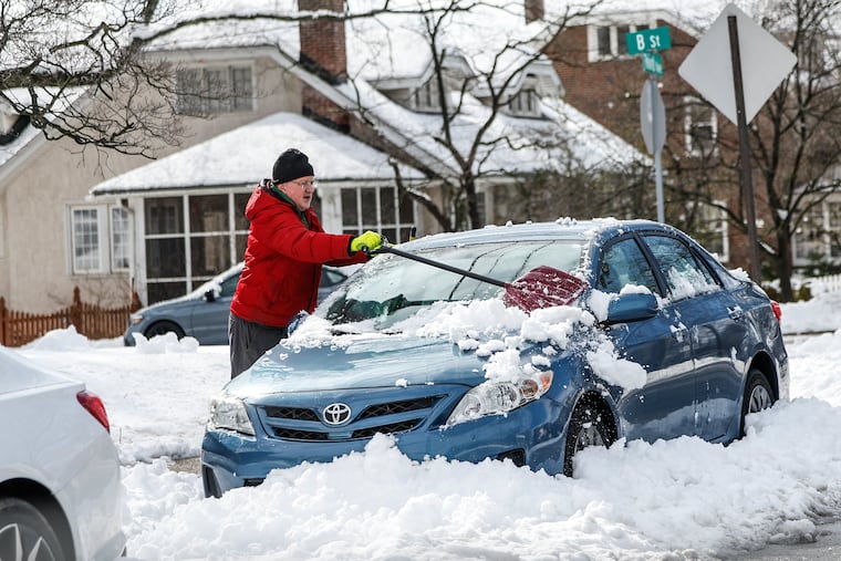
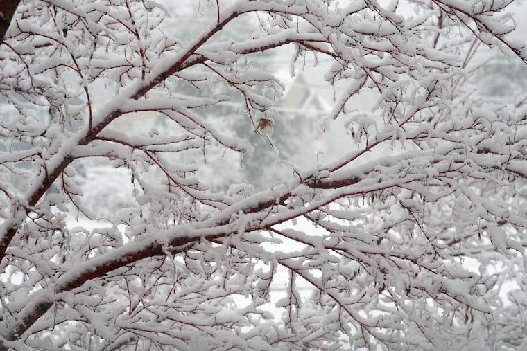
Sometimes, perhaps, it’s best to leave close-enough alone. Officially, while Bucks, Chester, and Montgomery Counties recorded accumulations of 8 to 10.5 inches, and amounts of 3 to 7 inches were common, officially a mere 0.6 inches landed at Philadelphia International Airport and amounts in South Jersey were more on the border of 1 to 1.5 inches. Meanwhile, over a foot creamed the Poconos.
What happened?
It all started as scripted, said Alex Staarmann, meteorologist at the National Weather Service Office in Mount Holly, with rain changing to snow right around 6 or 7 a.m. But a number of factors knocked the forecast out of kilter, he said.
Among them were an outbreak of thunderstorms in the Deep South, computer models that were seeing things, and a winter’s worth of warmth.
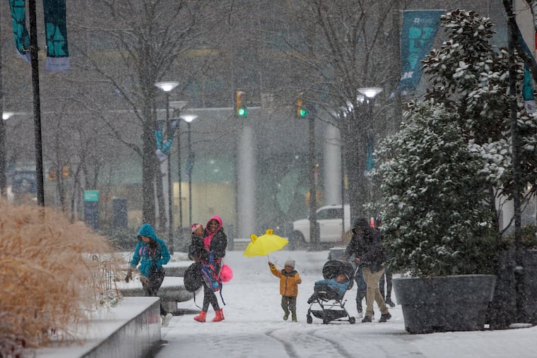
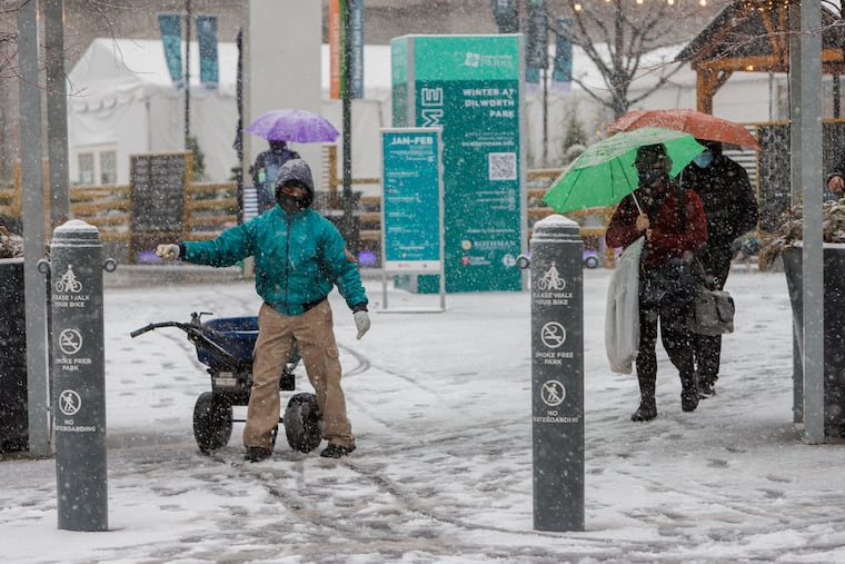
In the end, parts of the Philadelphia region experienced what was by far their biggest snowfall of the winter of 2023-24, even if the vast majority of people living in the city and areas to the south and east might have found that rather unimaginable.
“It wasn’t a huge powerhouse of a storm,” said Dave Dombek, senior meteorologist with AccuWeather Inc.
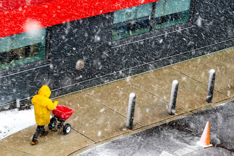
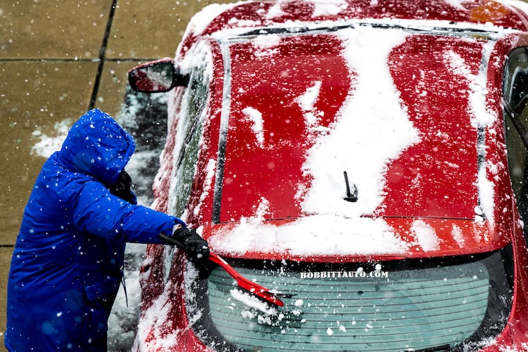
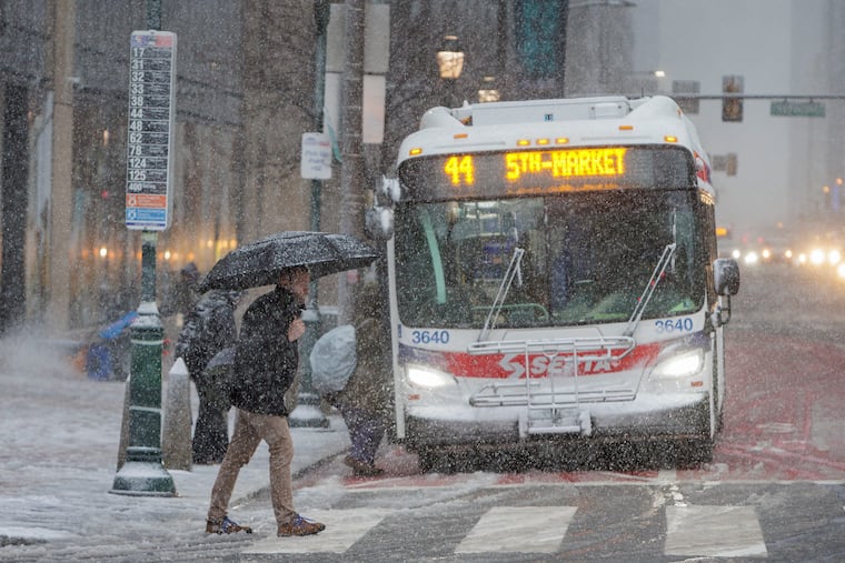
Overall, the impacts weren’t impressive. Dozens of flights in and out of Philadelphia International Airport were delayed or canceled, but the airport has had worse days. PennDot imposed speed restrictions on major highways for a while, and no major issues were reported. Power outages were scattered, with Peco reporting only about 5,500.
» READ MORE: It was a snow day, of sorts, in the Philly region
By early afternoon, the snow-weighted trees in the places that had substantial accumulations were casting shadows, and the snow was quickly pancaking.
What the storm may have lacked in ferocity, it made up for in aesthetics — and caprice, with wildly varying snow totals throughout the region, after playing an aggressive game of dodgeball with meteorologists who had tried to get a handle on their accumulation forecasts.
» READ MORE: How much snow fell around Philadelphia? Totals from across the region.
What went right and wrong with the snow forecast
The accumulations — and the estimates that went awry — were the result of a number of factors.
The dynamics of the storm. Dombek it was what meteorologists call a “Miller B,” named for the researcher who identified it. It approached from the Mississippi Valley, and then transferred its energy to a storm developing off the Mid-Atlantic coast. On Monday forecasters were worried that getting a handle on just how deeply it would intensify, and precisely where it would throw back its moisture, would be problematic. They were right about that part.
Thunderstorms. Those didn’t occur here, but in the Deep South. Staarmann said the energy from those storms had subtle but important effects on the path of the storm. “It was just enough of a wobble, 30 to 50 miles, that kind of wreaked havoc on our forecast,” he said.
Model misbehavior. The updated computer runs were burying South Jersey and Philly in snow, Staarmann said. The ones they were consulting are notorious for snow overestimates in circumstances similar to those that were forecast. The meteorologists on duty were aware and corrected for the biases, but not quite enough.
Banding. As so often happens, narrow bands of heavy snow set up over certain areas, and when that happens, areas on either side of the band are snow-deprived. That was happening Tuesday morning, said Dombek.
Temperatures. In a winter on track to finish in the top 10 for warmth in Philly, temperatures reached 50 degrees for a fifth-straight day Monday, and in most places, they never got below freezing during the snowfall. “If we would have had really cold air in place ahead of this storm, it wouldn’t have been nearly as all or nothing,” Staarmann said. “It would have been just clear cut.”
Terrain. Accumulations were dependent on snowfall rates, and even though it kept snowing through the morning, not much of it was able to stick in parts of Philly and areas to the south and east. Elevation evidently was a key to how much accumulated: Temperatures decrease with height. In Roxborough, about 10 miles from Center City and 400 feet higher, over 4 inches of snow was measured.
What’s next
Not much, at least in the way of snow.
Temperatures early Wednesday are due to fall into the mid-20s, which will freeze whatever the February sun can’t get to during the afternoon.
» READ MORE: The groundhog saw an early spring, but forecaster say something resembling winter will continue
Don’t expect any more accumulating snow in the short-term, said Dombek.
Temperatures on Wednesday won’t be getting out of the 30s, reaching the low 40s Thursday and Friday before a weekend cooldown. “It’s cold, not anything Arctic,” said Dombek, “but it will feel like winter.”
One footnote (or inch note): the 0.6 recorded at PHL was triple what fell all of last winter.