Severe thunderstorms and flooding downpours are possible in the Philly region Tuesday
A ‘few tornadoes’ possible, the weather service said.
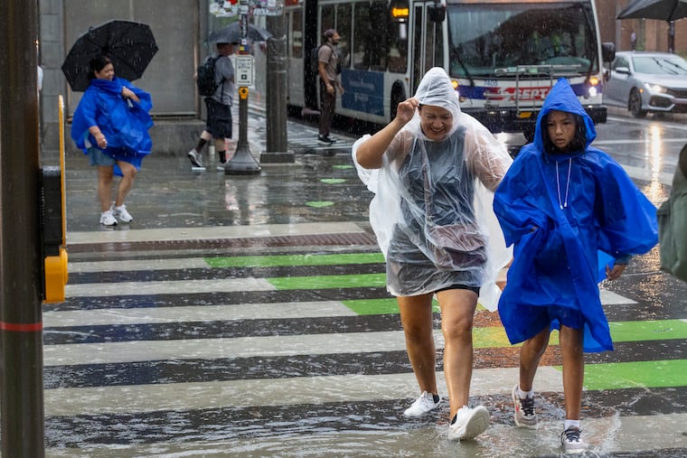
Rainfall this summer has been maddeningly capricious, but this time it appears that the entire region is going to win some share of the rain lottery proceeds, wanted or not.
“I think this is the type of setup where everyone is going to get rain,” said Marc Chernard, senior branch forecasters with the federal Weather Prediction Center, in College Park, Md. The center had Philadelphia and its neighboring counties targeted for “excessive rainfall” potential.
The National Weather Service Office in Mount Holly has a flash-flood watch in effect unitl 2 p.m. Wednesday, with a general 1 to 3 inches expected across the region.
For flood potential, what would matter would be the rainfall rates, and it’s possible the skies could wring out localized amounts of 3 inches an hour, said Chernard.
The national Storm Prediction Center has about half Pennsylvania, all of New Jersey, and northern Delaware under a severe-thunderstorm watch until 8 p.m.
Storms could be quite potent, said Patrick O’Hara, meteorologist at the Mount Holly office. The weather service warned that a “few tornadoes” are possible.
“Some of the stuff in Delmarva, South Jersey, maybe even Philadelphia, may be spinning.” said O’Hara. “Welcome to July weather in Philadelphia.”
The likeliest time for strong storms in the Philly region
An early batch of strong storms is likely to miss Philly and most of the afternoon may be rain-free, but a second round late in the day into the evening won’t, O’Hara said, with a round of soaking downpours likely.
“That will be just torrents,” he said. He expected the heaviest of the rains to appear around 6 or 7 p.m.
Said Chernard, “It could be a lot of rain that comes around quickly.”
Tthe system triggering the rains is something of a hybrid, born of a pattern more common to the cooler weather of fall and spring when temperature contrasts in the atmosphere are sharper, O’Hara said.
“We have a situation where we have summertime heat and humidity, but almost out-of-season dynamics,” he said.
Whatever the cause, the storms could have “significant impacts,” said Chernard.
Chernard said he expected the worst of the rains to move out of the region later Tuesday night; however, the shut-off time remains uncertain.
Showers could return Wednesday night.
The flood potential
After months of below-normal precipitation leading up to a July that has been the wettest month since March 2024, “base” stream levels are relatively low, said O’Hara.
And neither the Delaware nor Schuylkill Rivers are in imminent danger of sloshing over.
However, rain rates of 2 or 3 inches of hour are enough to generate flash flooding along streams. During a localized downpour on Monday, Pennypack Creeks in the Northeast rose to minor flood stage.
Heavy rains flooded downtown streets and swamped cars in Hammonton, Atlantic County.
How much for Philly?
With July thunderstorms it isn’t simply a question of how much for Philly, but how much for South Philly, Center City, Germantown, or Fox Chase.
Even though everyone may get rain, the heaviest rains will be concentrated, said Chernard.
What is almost certain is that some places are going to get a soaking.
At least no smoke is in the forecast.
