Rare September nor’easter batters Jersey Shore and Philly region Saturday
A nor'easter brewing off the coast made for a soggy and windy weekend in Philadelphia and along the Jersey Shore.
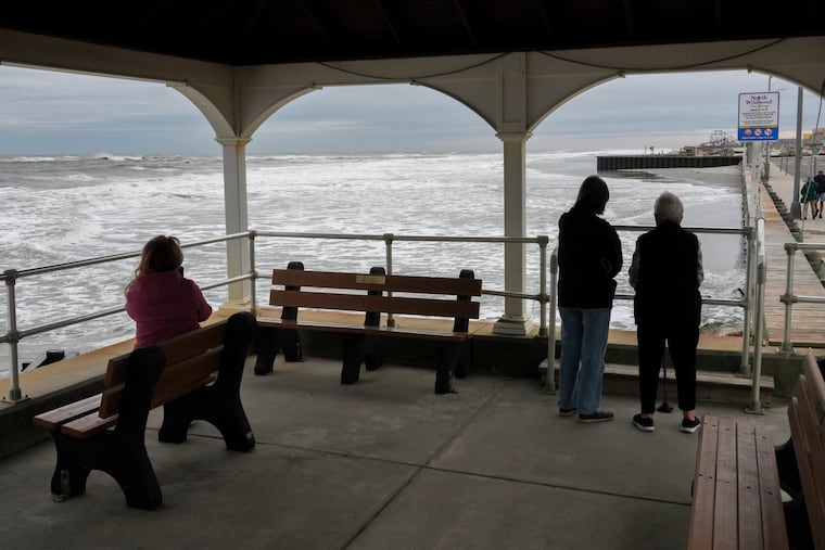
A wind-tattered and soggy Jersey Shore was reeling Saturday from the effects of an early-season nor’easter trudging up the coast this weekend.
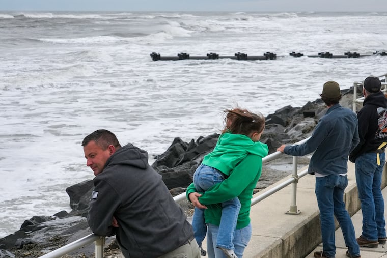
Massive waves and rough surf were reported overnight along the Shore — where New Jersey officials had issued a state of emergency — flooding streets and leaving some people without power.
» READ MORE: The Jersey Shore is bracing for a big September storm — but it’s a nor’easter, not a hurricane
The highest tides and winds were forecasted through Saturday night, as the nor’easter moves northward off the East Coast, according to Lee Robertson, a meteorologist at the National Weather Service in Mount Holly.
“We’re pretty much in it right now,” Robertson said Saturday morning in a phone interview.
In Philadelphia, this means rain and winds throughout the day; at the Shore, expect stronger winds and more rain, Robertson said.
According to NJ.com’s tracker, nearly 28,000 power outages were reported as of 9:30 a.m. Saturday morning across the state’s four energy companies. PECO reported about 250 outages, impacting less than 5,000 people, across the Delaware Valley.
As storm waves pound the oceanfront, and the back bays swell with water, multiple rounds of at least moderate flooding were likely at the Shore and at least minor flooding along the Delaware River in Philadelphia.
Flood warnings and advisories have been extended well into the weekend, and the weather service warned that widespread flooding may make roadways impassable and damage vulnerable structures.
Video from the Margate City Fire Department captured ankle-deep floodwaters beginning to swallow white-picket fences and park benches.
In Atlantic City, the morning tide brought “major flooding,” said Atlantic City Battalion Chief Mike Famularo.
“This is the worst I’ve seen it in a long time,” Famularo said.
One major thoroughfare, Albany Avenue, has more than 2 feet of water on it, Famularo said. That’s kept the fire department busy rescuing trapped drivers.
“We’re recommending people to stay inside and do not drive,” said Famularo, who is also a deputy Office of Emergency Management coordinator.
The flooding should gradually recede with the low tide, Famularo said. However, there’s another high tide around 6 p.m., which could bring water back onto the roads.
At Club Boardwalk Resorts, the weather led Syracuse, N.Y. resident Star Rios to check out one day early from a vacation to celebrate her daughter’s birthday.
“We still had a blast yesterday, but I was like, ‘I just want to go home,’” Rios said.
“The weather’s better back home.”
This is a developing story that will be updated.