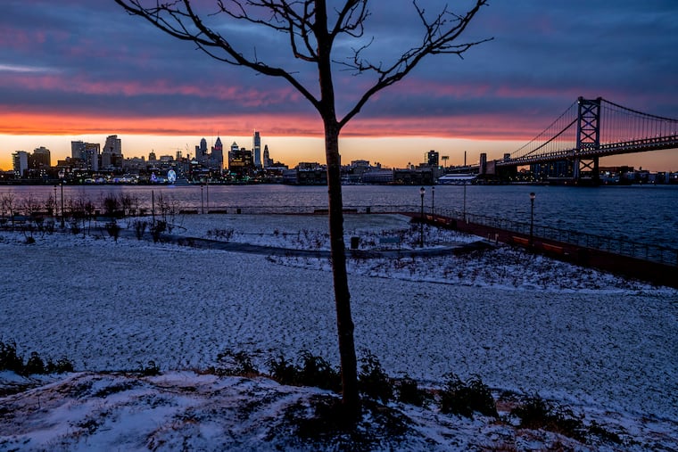
Expect more snow in the Philadelphia region starting tonight as weather service issues winter storm warning
Up to five inches of snow are forecast for parts of the region.
A second round of snow this week for Philadelphia, its suburbs, and South Jersey is expected to move in Thursday night into Friday morning.
The National Weather Service, which has issued a winter storm warning for the area, is forecasting three to five inches for most areas in the region starting around 10 p.m. for Southeastern Pennsylvania, with the usual caveat that how much you see depends on how a fickle, narrow band of snow moves through.
» READ MORE: How much snow fell in Philly and New Jersey after Monday’s storm?
Some areas could see rates of up to two inches per hour overnight as a low pressure system moves in on the heels of a cold front, and possible accumulations of up to six inches. Where exactly the band would set up remained uncertain Thursday afternoon, with higher amounts possible south and east of I-95 into South Jersey.
The weather service has issued a winter storm warning for parts of New Jersey including Burlington, Gloucester, Camden, Salem, Ocean, Atlantic, and Cumberland Counties. Gov. Phil Murphy announced a state of emergency would go into effect for the entire state as of 10 p.m.
“I do think it is fair to say that this will be a good time to stay home,” Murphy said during a briefing.
The forecast called for a high of 37 degrees Thursday, creating conditions for an initial round of rain or freezing rain that will turn to snow later Thursday night. The heaviest snow is expected to fall between 1 and 7 a.m., with lows of around 28 degrees. Gale-force winds are expected along the Shore and lower Delaware Bay.
The Philadelphia Streets Department said crews had already begun brining the roads. The department has 100 pieces of equipment ready to treat the streets and 45,000 tons of salt for roads and bridges.
Officials with the department say they were already experiencing trash and recycling collection delays due to a worker shortage amid COVID-19. The weather could create additional delays, but residents still should put materials out on their regular collection day.
» READ MORE: To treat icy roads, highway agencies look to grapes, cheese, and vodka as alternatives to salt
The Philadelphia School District has notified students and parents it will shift to virtual learning for Friday. Philadelphia Catholic schools operated by the Archdiocese of Philadelphia will be closed Friday; secondary schools in the city will have a flexible day of instruction.
Forecasts say snow should stop by 10 a.m. Friday, with a gradual clearing and a high of 34 degrees — but with wind gusts up to 25 mph.
That will be followed by a cold snap with many areas dropping into the teens overnight Friday into Saturday. The Poconos could see even lower temperatures.
