The Philly region is under a flood watch Tuesday and Wednesday with strong storms expected
This is the city’s wettest month since March 2024.
With over a half-foot of rain measured already, what has been Philadelphia’s wettest month since March 2024 is very likely to become significantly wetter.
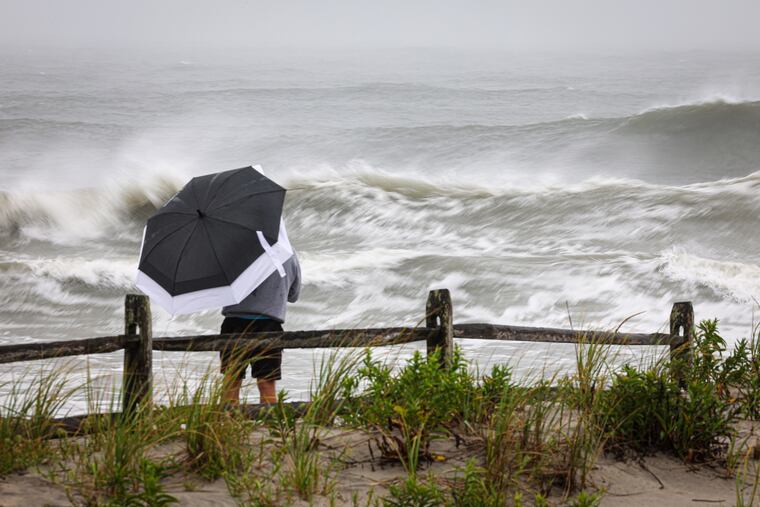
The National Weather Service has posted a flash flood watch effective from 8 a.m. Tuesday until 2 p.m. Wednesday for rain totals up to 3 inches, with downpours of 1 to 2 inches an hour possible.
The national Storm Prediction Center on Tuesday morning listed a 15% chance of severe storms, those with wind gusts approaching 60 mph, for the entire region, with an outside shot of tornadoes. The Weather Prediction Center has a 40% chance of flooding downpours.
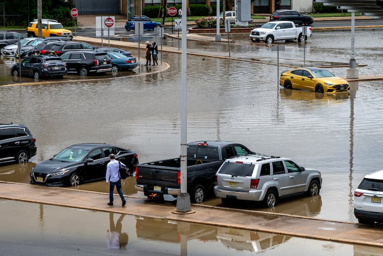
Some appetizers — localized downpours — popped up Monday afternoon, prompting flood warnings for Philly and neighboring sections of Montgomery County, and parts of Gloucester and Atlantic Counties in New Jersey.
Floodwaters swamped downtown Hammonton, Atlantic County, with “numerous” cars stranded on the roads, the weather service reported. The Pennypack Creek in Northeast Philly crested above “minor” flood stage.
Moth-ball-size hail pelted Chestnut Hill, and hail twice that size was sighted in Williamstown, Gloucester County, and in the vicinity of Washington Crossing State Park on the Jersey side of the Delaware River.
Storm coverage on Tuesday is expected to be far more extensive, and potentially more disruptive, with a “few tornadoes” possible, the weather service warned.
Storm activity is likely to linger into Wednesday, said Mike Lee, meteorologist in the weather service’s Mount Holly office, with more showers in the forecasts for Thursday.
What time the storms will arrive in Philly
Late July still is very much the lottery-ball season for damaging downpours, and that again likely will be very much in evidence this week. Rainfall totals in the last 30 days have ranged from 137% of normal in Gloucester County to 79% of normal in Montgomery County, according to the Middle Atlantic River Forecast Center.
Thunderstorms are possible as early as midmorning, but expect “repeated rounds” during the afternoon, said Matt Benz, senior meteorologist with AccuWeather Inc.
The highest probability for severe storms, those with wind gusts near 60 mph, would be in South Jersey and Delaware, although they could nose into Philly, said the weather service’s Lee.
The storms could continue well into the night, and additional rains are expected Wednesday afternoon.
The rain totals again are likely to vary widely; however, a general 1 to 2 inches is expected across the region.
Whatever happened to the drought?
It hasn’t gone anywhere — yet.
All of New Jersey and Chester County remain under state-declared drought warnings. In the latest interagency U.S. Drought Monitor update, conditions in the entire region remain from “abnormally dry” to severe drought.
All that may change by week’s end.
Through Sunday, officially 6.37 inches of rain habr been measured at Philadelphia International Airport this month. That is the highest monthly precipitation total since March 2024.
July’s rains have ended a run of 16 straight months of below-normal precipitation in Philly.
Said Benz: “It’s an old saying that all droughts end on a flood. That’s kind of what we’re seeing right now.”