The ultra-quiet Atlantic hurricane season is setting records, thanks to El Niño
The state of the atmosphere, and the limited historical record, argue for continued quiet.
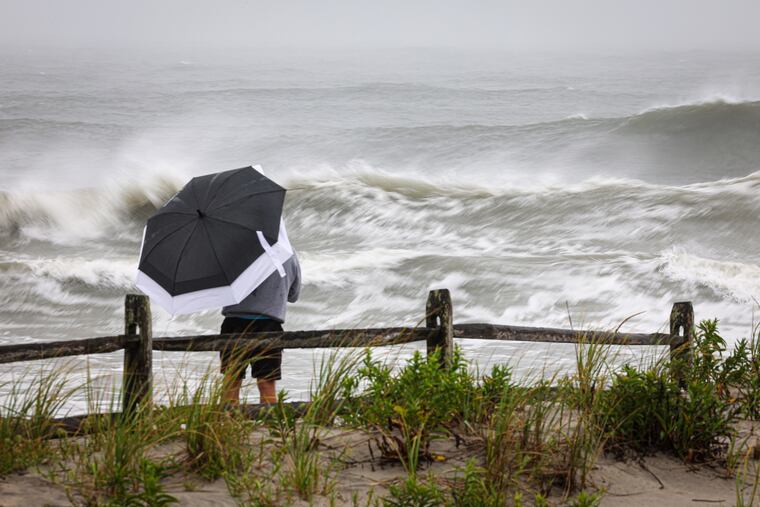
Those hurricane outlooks posted by the major forecasting services agreed this was going to be a quieter-than-normal hurricane season.
But they didn’t call for it to be this quiet.
With the season at its climatological peak, it is about to set a record for the longest wait for the development of a first hurricane in the satellite era, dating to the 1960s, according to the National Oceanic and Atmospheric Administration.
The standing record, Sept. 11, was set in 2002 and 2013, and this year the National Hurricane Center is seeing zero chances that a hurricane forms in the basin, which includes the Gulf and Caribbean, during the next seven days.
In 2013, only two hurricanes — storms with winds of at least 74 mph — formed during the season, which spans from June 1 to Nov. 30. That tied 1982 for the fewest number of hurricanes, said Matt Rosencrans, a scientist at NOAA’s Climate Prediction Center.
The 2026 season might make a run at that record, and the state of the atmosphere and history suggest it has a shot.
Who hit the mute button?
The explanation “is almost 100% El Niño,” said Philip Klotzbach, a hurricane specialist at the Colorado State University’s Tropical Meteorology Project, which has been issuing outlooks for over 40 years.
Would-be hurricanes in the Atlantic haven’t had a snowball’s chance to reach maturity.
El Niño already is shearing records
NOAA has said the periodic El Niño warming in the equatorial Pacific has a chance to be the most potent on record.
Sea-surface temperatures in the vast, key El Niño monitoring zone have been running more than 3 degrees Fahrenheit above normal. That anomalous warmth is affecting the overlying atmosphere in such a way as to generate powerful upper-air winds from the west that are inhibiting the development of tropical storms in the Atlantic Basin.
For the strength of vertical shear across the western Atlantic, “we continue to crush” records, Klotzbach said, in observations dating to 1979.
How important is El Niño to the Atlantic hurricane season?
The El Niño effect on Atlantic hurricanes is evident in the available records. In the six years with El Niños of comparable intensity since 1950, hurricane activity has been well below normal.
Rosencrans cautions, however, that the data have limits. The era of satellite observation did not begin until 1966, and the credible El Niño records start with 1950.
Satellites have lifted the qualities of observation to dramatically different heights.
Klotzbach noted that in 1941 a first hurricane was not observed until Sept. 21, but neither satellite data nor aircraft reconnaissance was available. Plus transatlantic shipping, an important observation source, likely was limited because of the war. Thus, it is entirely possible that a hurricane had occurred earlier.
One of the strongest El Niño years, 1982, coincided with the record-low number of hurricanes.
But during the other record holder, 2013, the Pacific waters actually were slightly cooler than normal.
Even the strongest El Niño would not act in isolation in the chaotic environment of the atmosphere.
Early in this season, layers of Saharan dust in the atmosphere may have inhibited tropical storm development, said Benjamin Kirtman, dean of the University of Miami Rosenstiel School of Marine, Atmospheric, and Earth Science.
But the evidence of El Niño’s power over the Atlantic season is “pretty clear-cut.” And this one, he said, was especially precocious.
“Whereas El Niño episodes typically ramp up toward the peak of hurricane season, this event was already in place and strengthening well before the season’s most active months,” Kirtman said, creating “hostile shear conditions.”
Take the career of Dolly, which was knighted one of the season’s five tropical storms at 11 a.m. Aug. 27 and demoted to a remnant at 11 a.m. Aug. 28. The hurricane center said it had entered “a hostile environment with significant … shear.”
What does (or doesn’t) happen next?
The likelihood of El Niño’s retaining strength into the winter and the limited historical record argue against a late hurricane rally.
On average, six tropical storms, those with winds of at least 39 mph, have formed after Sept. 11, and four hurricanes. A total of only five hurricanes formed during all six of the comparable El Niño years.
“I fully expect there to be additional storm threats as the season progresses,” Kirtman said, “but the effects of El Niño remain, so it is unlikely that the season will suddenly become very active.
“That being said, it only takes one storm to affect where you live.”