A tornado watch is in effect for the Philly region, with strong storms possible
November thunderstorms are unusual, occurring about once every two years in Philly.
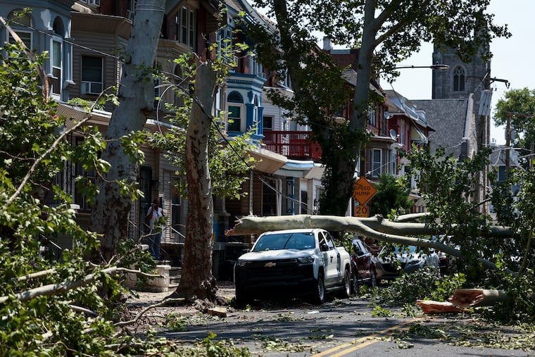
A tornado warning was in effect for northern Delaware, and a watch has been posted for Philadelphia and all seven neighboring counties until 7 p.m. Thursday.
Already the National Weather Service has posted warnings for severe thunderstorms, affecting portions of portions of northern Delaware, South Jersey, and Chester and Delaware Counties.
Additional potent thunderstorms are expected to develop into the evening as the Philly region’s impending taste of December may be preceded by weather phenomena more common to summer.
On average, according to weather service data, thunderstorms occur in November only once every two years.
The federal Storm Prediction Center in Norman, Okla., which issued the tornado watch, said behind the drama was a complex storm system that was centered over northern Virginia and forecast to mature off the New Jersey coast.
It was showing signs of being “a little bit stronger” than computer models had shown earlier, said Mike Lee, a weather service meteorologist in Mount Holly.
The storm center saw a 40% chance that storms would reach the “severe” criteria; that is, with winds to 60 mph or higher.
Rain is all but a certainty, with heaviest likely occurring in the early evening, followed by showers during the night, and more rain on Friday, said Lee.
Come Friday, you may think you wandered into December. As the storm intensifies it is expected to draw in much colder air on winds from the northwest.
Highs won’t get out of the 40s Friday, and stray snowflakes might even wander into the region, forecasters say. It will remain chilly through the weekend into early next week.
“It’s going to be a shock to the system,” said Tom Kines, senior meteorologist with AccuWeather Inc. “We’ve been spoiled for the last several weeks.”
This story will updated.