It’s becoming clearer what Isaias will bring to Philly: a lot of rain, but spread over time
Forecasters expect Isaias' leftover rain to move in overnight Saturday into Sunday morning and to pass through the area Sunday, according to the National Weather Service in Mount Holly.
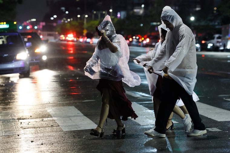
The remnants of Hurricane Isaias are coming into clearer focus for Philadelphia, with heavy rain still forecast for Sunday, but spread over enough time toreduce flooding risk.
Widespread rain is expected to move in overnight Saturday into Sunday morning and to pass through the area Sunday, according to Eric Hoeflich, a meteorologist for the National Weather Service in Mount Holly. So don’t plan on having fun outdoors.
“It looks pretty much like a washout on Sunday,” he said.
» READ MORE: Isaias’ remnants are expected to bring significant rain to the Philly area
By late Saturday afternoon, there was a 100% chance of precipitation for Philadelphia Sunday, the weather service said. But while forecast rainfall amounts are high — 1 to 2 inches — they may not be as punishing as they could have been.
“It should fall over a long enough period where we’re not too, too concerned with flooding or anything like that at this time,” Hoeflich said. The weather service said there might be some minor tidal flooding along the Delaware Bay, but no river flooding is forecast.
Sunday night, showers and thunderstorms are likely before 1 a.m., according to the weather service. After that, the storms may linger, with new rainfall amounts between 1/2 and 3/4 of an inch possible.
On Monday, there might be a few showers in the morning, but the area should dry out quickly thanks to Isaias’ windy exit.
Hoeflich put a positive spin on the wet overall outlook.
“It should just be a beneficial rain,” he said.