First real heat wave brewing, as June pattern ready to flip
Feds’ outlooks favors above-normal temperatures from here to the solstice.
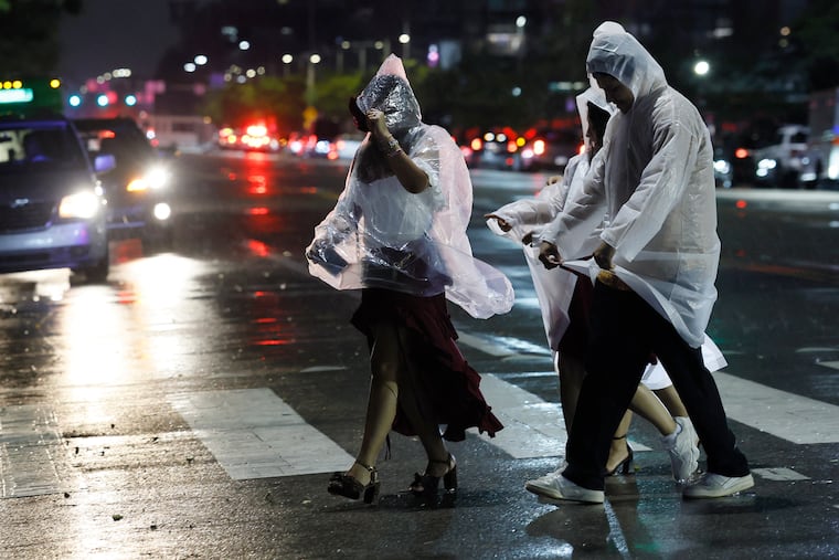
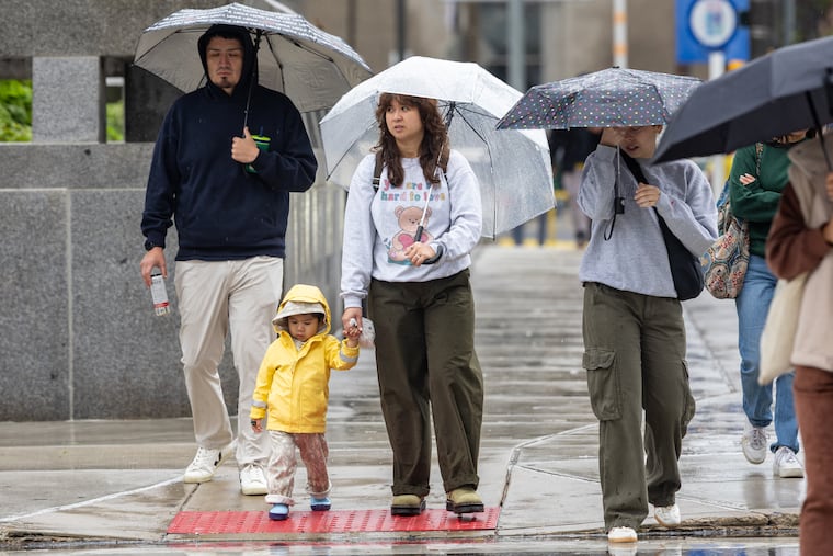
This will be the sixth-consecutive day of below-normal temperatures, and Wednesday's high of 67 in Philadelphia ranked among the 10 lowest maximum temperatures for a June 7 in records dating to 1874.
That's all about to change.
The first true heat wave of the season could get cooking as early as Sunday as upper-air patterns undergo a significant change, with higher pressures, favoring warmth, building over the East.
Temperatures could reach 90 or better on Sunday, Monday, and Tuesday, with an outside shot at record highs of 95 on Monday and Tuesday.
It is unclear how long the heat would last, but the government's Climate Prediction Center says it has unusually high confidence that temperatures for the next 10 days will finish above normal in much of the nation.
And the forecasters say the odds favor the warmth creeping toward the solstice, which occurs June 21.
By the government's technical definition – three consecutive days of highs of at least 90 – last month the region had its first heat wave.
What's different this time around as that the overnight warmth is looking more robust, with official temperatures in Philly struggling to get below 70. On the first day of the May hot spell, the 17th, the morning low got all the way down to 58.
This would not a bad time to check those air-conditioning filters.