Philly’s 18-day dry spell has ended, with heavier rains and slick roads expected into Friday
Wet leaves can behave "like ice," and beware of a California-like hazard.
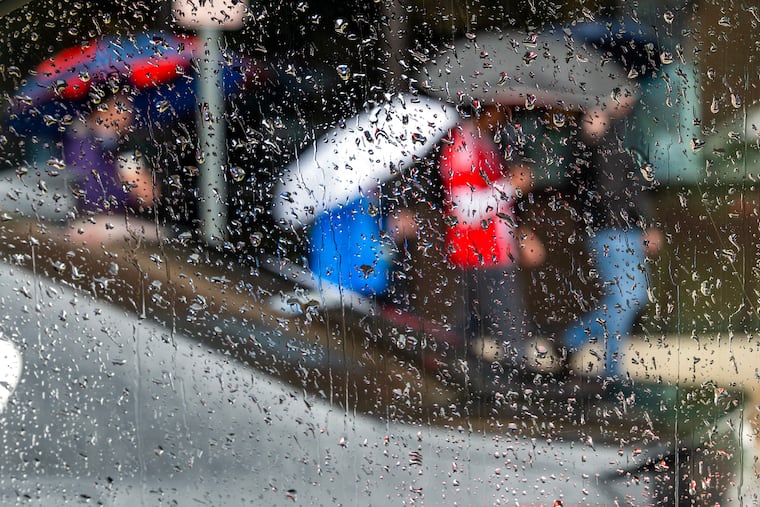
At 7 a.m., officially a mighty 0.01 inches had been measured at Philadelphia International Airport, ending Philly’s longest dry spell in two years.
And after that long dry run, before the rains come to end on Friday, the region’s motorists may be contending with a hazard more common to Californians.
After more light showers during the day Thursday, steadier rains are expected at night into Friday, with totals of a half-inch to an inch around Philly, and heftier amounts likely near the Shore. And raindrops won’t be only thing falling.
With the end of the peak foliage season comes the peak leaf-fall seasons, and officials warn that that wet leaves could be a nuisance for motorists and Regional Rail commuters.
In addition, storm drains are prone to clogging with wet leaf-fall, which can lead to road ponding.
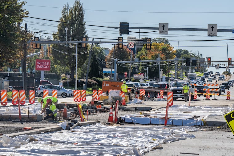
PennDot staff in Philly and the neighboring counties “have been clearing drains, inlets, and debris on interstates and major routes,” said spokesperson Brad Rudolph.
For its part, SEPTA is advising Regional-Rail commuters to expect delays.
“The main issue customers may notice is a bit of a slowdown from top speeds — about 10 mph,” said spokesperson Andrew Busch. ”It typically does not result in cancelled trips, and as long as there are no other issues impacting service, the slippery rail delays are usually kept to a few minutes or so."
He added, “We have had our track cleaning train out regularly in recent weeks and that will continue tonight, so we think we are in pretty good shape.”
On the roads, the wet leaves can become “almost like ice out there,” said Isaac Longley, senior meteorologist with AccuWeather Inc.
“It could be an issue for the Friday morning commute,” he said.
After experiencing a California-like dry spell, drivers may get a taste of a common problem in the heavily trafficked areas of California when rains have broken a dry spell.
In dry times, “You get a lot of oil building on roadways,” said Longley. “Once you see that first rain in a while, that can cause some slippery spots.”
The rains are being generated by a slowly approaching cold front, and some part of the region is going to get a serious soaking. Downpours are likely to be confined to a “narrow corridor,” said Longley.
The National Weather Service in Mount Holly said it’s possible up to 3 inches of rain could fall in areas that receive the heaviest rains. The corridor is likely to be along the New Jersey and Delaware coasts, but precisely where wasn’t certain.
The rains are ending a stretch of 18 days without measurable rain in Philadelphia, the longest dry run since the rain-less October of 2024.
The weekly inter-agency U.S. Drought Monitor report Thursday noted “abnormally dry” areas in parts of Bucks, Montgomery, and Burlington County, but overall the region remained drought-free.
After the rains shut off Friday, “The weekend is looking really good,” said Longley. Saturday and Sunday should be sunny with afternoon temperatures in the low 60s, just a shade above the normals for the date.
This story will be updated.