Snow totals are up in the air, but forecasters say to expect a mighty strange winter in Philly
Government meteorologists see above-normal temperatures
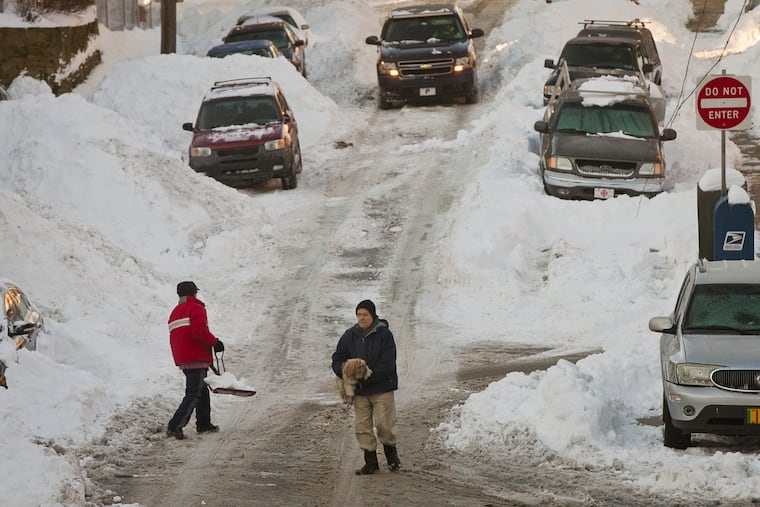
Meteorologists are divided on whether snow totals will be above or below-normal in the Philly region — but they are quite confident that the winter of 2026-27 is going to be stranger than normal.
Maybe an all-timer for peculiar behavior, and for now some of the outlooks have more hedges than Longwood Gardens.
The government’s Climate Prediction Center issued its annual winter forecast Thursday, and said the odds favor temperatures on the mild side with above-normal precipitation. As usual, it eschewed a snow forecast, which may be especially wise this time around.
Not surprisingly, the media teleconference at which the outlook was unveiled was all about the potentially record El Niño brewing in the equatorial Pacific,
El Niño impacts typically ripen in winter but already, “the atmosphere has responded strongly,” said Jon Gottschalk, the climate center’s chief winer forecaster. It has shown its power by all-but snuffing out the Atlantic hurricane season.
Past Philadelphia winters coinciding with extra-strong El Niños have included a season with no snow, and another in which December was almost as warm as April. Two others featured a blizzard and a 2-foot snowstorm.
While the winter likely would produce “a number of very strong storms,” Gottschalk said, it was unclear whether they would they track close enough to the coast to affect the Northeast or end up going out to sea.
The overall consensus among the government and private-sector outlooks is that winter overall will be milder, that snow may be a lottery-ball situation, and that normality will have to wait its turn.
“This is going to be an incredible winter,” said Paul Pastelok, AccuWeather Inc.’s longtime seasonal forecaster.
What is behind the El Niño hubbub?
As of Tuesday, sea-surface temperatures in a roughly 2.4-million-square-mile area of the equatorial Pacific that is a key driver of the world’s weather were nearly 4.5 degrees Fahrenheit above normal.
The El Niño warmings have been occurring roughly every two to seven years for eons, but his one already is matching the record levels of the 1982-83 event, may exceed it, and continue well into the spring. It will almost certainly affect weather across North America for the next several months.
As for precisely how, “Unprecedented events never have guidebooks,” said Jonathan Belles, meteorologist with Weather.com.
Just what is El Niño, and how does it influence weather?
The periodic warming is a natural phenomenon in which east-to-west trade winds that push water into the western Pacific slacken and massive amounts of warm water move eastward toward the South American coast.
Weather moves west to east, and the heating of the overlying air interacts with the atmosphere in such a way as to have profound effects on the upper-air currents that ferry weather to the Americas.
Since ocean temperatures change ponderously, the effects linger for months, becoming more intense as the El Niño matures. It can incite powerful Gulf and East Coast storms in winter, and also warm the atmosphere.
Conversely, the shearing winds it generated are credited with quieting the Atlantic hurricane season this year.
Evidence of El Niño’s existence goes back as much as 13,000 years, according to the Royal Geographic Society. The floodwaters it generated along the Peruvian coast may have motivated the Incas to settle on higher ground.
Yet the understanding of El Niño’s impacts on North America is a relatively modern phenomenon.
No attempts were made to use it in winter forecasting until the 1970s. It didn’t gain a measure of celebrity until the 1980s.
Philly winters during other strong El Niños
The climate center ranks six El Niños as comparable to this one in records dating to 1950. In Philly five of them featured above-normal temperatures, and in terms of snow all six of them were in a word, weird. A brief summary:
1995-1966: No measurable snow until Jan. 22.
1972-1973: No measurable snow, period.
1982-83: An all-time blizzard in February.
1991-92: Just 4.7 inches of snow for the season..
1997-98: Only 0.8 inches for the season.
2015-16: 2 feet of snow in a January storm
What the seasonal forecasts are saying
The atmospheric scientists all agree the El Niño is both the elephant and the room, but it will be interacting with other forces in the nonlinear chaotic environment of the atmosphere.
An energetic storm track across the South is almost a certainty, they say, and some of those storms may make left turns up the East Coast and become nor’easters. However, arguing against snowstorms would be the presence of so much warm air, especially in the precipitation factory of the upper atmosphere.
The jet stream, the band of winds that separate warm and cold air is “is going to be pretty far north into Canada,” said Jonathan Belles.
“When you think winter, we talk about snow, we talk about cold,” said Pastelok.
“This year we might be talking about flooding and above-average temperature and streaks of no snow on the ground.”
Here is a summary their best guesses from some of those who have dared to issue outlooks:
Climate Prediction Center: Odds favor above-normal tempeatures and precipitation. As for snow, it never touches the stuff.
AccuWeather: Above-average temperatures, 5 to 15 inches of snow.
Weaher.com: Mild, active storm track, no guess on snow.
WeatherBELL Analytics: Near-normal temperatures and snowfall.
Arcfield Weather: Above-average temperature, 31 to 40 inches of snow.
For the record, the normal for snowfall is 23.1 inches, as measured at Philadelphia International Airport. The average temperature for the Dec. 1 to Feb. 28 meteorological winter is 36 degrees.
.