The polar vortex may have record-early impacts, including on Philly’s weather in November
This could be the earliest sudden stratospheric warming event on record and dislodge the polar vortex before Thanksgiving.
The mega-El Niño event unfolding in the equatorial tropical Pacific has been dominating the stage in the weather, but evidently it is about to get some competition from a radically different source.
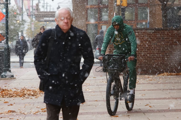
The polar vortex, the powerful west-to-east winds that lock in frigid air in the Arctic, is showing signs of weakening, and that could result in cold air and even stray snowflakes spilling into lower latitudes in the next three weeks, perhaps as far south as the Mid-Atlantic region.
“We’re already seeing the polar vortex become distorted and stretched out,” Laura Ciasto, meteorologist with the National Weather Service’s Extended Prediction Division. This usually doesn’t happen until deep into winter.
Talk about seasonal creep.
This would be “unprecedentedly early,” said Judah Cohen, research scientist with the Massachusetts Institute of Technology, a specialist in polar meteorology.
Hold the panic: The locations and intensities of any impacts would be uncertain. However, they could be evident before Thanksgiving as high drama unfolds in the atmosphere over the Arctic that could result in a so-called stratospheric warming event.
What is a sudden stratospheric warming event?
The stratosphere over the Arctic region, 10 to 30 miles above the surface where the air is truly rare, is the domain of the polar vortex, whose cold-imprisoning winds can swirl at 100 mph.
On occasion, the jouncing action of upward-moving waves can disrupt the circulation of the vortex, compromising it and at times resulting in the winds reversing — the official threshold for a sudden stratospheric warming event.
That could happen in the next week to 10 days, Ciasto said,
The weakening of the vortex would allow warmer air to invade the Arctic, and Arctic air to ooze southward, with impacts in the lower latitudes possible in the second or third week of November.
The warming events on average have occurred about six times a decade in the period of record, dating to 1958 — but never this early.
Two others occurred in November, but later in the month, Ciasto said.
“Because there have been so few in November, there’s some uncertainty about what the surface impacts might look like.”
Or how long they might last, or whether other disruptions will follow.
How much for Philly?
The warming events “lead to increased probabilities of below-normal temperatures across the Eastern United States,” said Ciasto.
The Philly region has experienced some serious winter weather following stratospheric warming events. After an uneventful start to the winter of 2020-21, Philadelphia ended up with one its snowier Februaries, with some places outside the city receiving up to 50 inches that winter.
A warming event occurred two Feburaries later, and the seasonal snow total was all of 0.3 inches in Philly.
While a warming may “load the dice” for cold and snow in the East, “other factors can affect our weather,” said Ciasto.
“We can’t forget the other big player that’s unfolding this winter,” she said. That would be the record-challenging El Niño brewing in the equatorial Pacific.
“How these two phenomena work together or compete will definitely influence what we feel at the surface,” Ciasto said.
El Niño, the polar vortex, and winter
Sea-surface temperatures over a vast area of the Pacific are about 4.5 degrees above normal, according to the federal Climate Prediction Center, and the warm waters are due to persist through the winter.
Interacting with the overlying air, the waters are generating upper-air winds from the west that are going to affect U.S. weather into March.
The consensus among forecasters is for above-normal temperatures for Philly and much of the nation this winter.
For its part, AccuWeather Inc. isn’t particularly alarmed by the potential early visit from the polar vortex. “We’ve heard the chatter,” said Tom Kines, a senior AccuWeather meteorologist. This early in the season, cold air is wanting, and if anything, Philly might get few November days with below-normal temperatures, but “nothing unusual,” he said.
AccuWeather is sticking with its call for a mild and snow-deprived winter in Philly and other places along I-95, he said.
Not everyone is on board with the low-snow idea, however, given the potential for El Niño-energized coastal storms. Paul Dorian, meteorologist with Arcfield Weather, said conditions are favorable for more polar-vortex intrusions. He was predicting 30 to 40 inches of snow for Philly.
Figuring out how this winter is going to play out has been especially challenging, said Cohen, “and the uncertainty in the forecast only looks larger.”