Philly Bike Ride 2026: Road closures, parking restrictions, detours
Thousands of cyclists will enjoy car-less streets during the annual ride to promote safe, accessible biking.

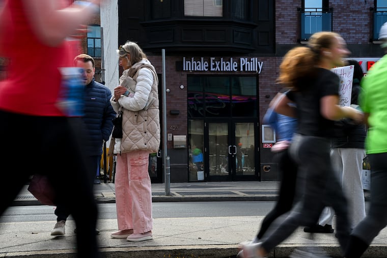
The annual Philly Bike Ride will bring thousands to Center City and up to Manayunk, resulting in major road closures throughout the city this weekend.
The 20-mile social bike ride, set for Saturday, begins on the Benjamin Franklin Parkway between 20th and 22nd Streets. Road closures provide a safer, car-free experience that attracts the regional cycling community and promotes healthy lifestyles and better accessibility for riders of all ages and abilities.
Roads will close as early as 3:30 a.m. and reopen as late as 2 p.m. The ride starts at 7:30 a.m. and will take riders through Center City to Penn’s Landing, along the Delaware, and then back to Kelly Drive, where the course goes up to Manayunk and circles back to the Philadelphia Museum of Art.
Road closures
The city’s Office of Special Events said these streets will be closed to vehicular traffic starting at 3:30 a.m. Saturday and will reopen no later than 2 p.m.
Eakins Oval in front of the Philadelphia Art Museum
Benjamin Franklin Parkway between Eakins Oval and 20th Street
Kelly Drive between Spring Garden Street and 25th Street
Spring Garden Street off-ramp exit at Eakins Oval
The following streets will be closed to vehicular traffic on Saturday from 6:30 a.m. to noon:
Benjamin Franklin Parkway between 20th and 15th Streets
Arch Street between Benjamin Franklin Parkway and 15th Street
15th Street between Arch Street and South Penn Square
Penn Square between 15th and Broad Streets
Broad Street between Penn Square and Race Street
Fifth Street between Market and Race Streets
Race Street between Broad Street and Christopher Columbus Boulevard
Sixth Street between Race and Market Streets
Market Street between Sixth and Fifth Streets
Fifth Street between Market and Race Streets
Christopher Columbus Boulevard between Race and Christian Streets
Christian Street between Christopher Columbus Boulevard and 22nd Street
22nd Street between Christian Street and Benjamin Franklin Parkway
Kelly Drive between 25th Street and Falls Bridge
Falls Bridge between Kelly and MLK Drives
MLK Drive between Falls Bridge and Black Road
Police may close additional streets to vehicular traffic and parking near the bike ride if conditions call for it.
Parking restrictions
Temporary “No Parking” signs will be posted along the following streets from midnight to 1 p.m. on Saturday. During that time, no vehicles can be parked there, or they will be “courtesy towed” by police with a possible fine.
Benjamin Franklin Parkway between 22nd and and 16th Streets
Logan Square between 18th and 19th Streets
Arch Street between 16th and 15th Streets
15th Street between Arch andand Market Streets
Market Street between Sixth Street and Penn Square
Penn Square
Race Street between North Broad Street and Christopher Columbus Boulevard
Christian Street between Christopher Columbus Boulevard and 22nd Street
22nd Street between Christian Street and Benjamin Franklin Parkway
Art Museum Drive between Benjamin Franklin Parkway and Pennsylvania Avenue
Spring Garden Street between Pennsylvania Avenue and Kelly Drive
Public transportation
The city is encouraging participants and spectators to use the three SEPTA stations near the start line: Fairmount, Spring Garden, and Race-Vine, all along the Broad Street Line, known as the B.
There is a free transfer from the Market-Frankford Line, also called the L line, and trolley routes at 15th Street/City Hall station. Regional Rail stations like Suburban Station and Jefferson are within walking distance from the Broad Street Line.
PATCO riders can hop off at 12th/13th Street station and walk to the Walnut-Locust station for the Broad Street Line.
SEPTA detours
These SEPTA bus routes located along the course will be detoured starting at 5:30 a.m. Saturday: 2, 4, 7, 9, 12, 16, 17, 21, 23, 25, 27, 31, 32, 33, 38, 40, 42, 43, 44, 45, 47, 48, 49, 57, 61, 76, 124, and 125.