Heavy rain, hurricane spell weekend washout — or worse
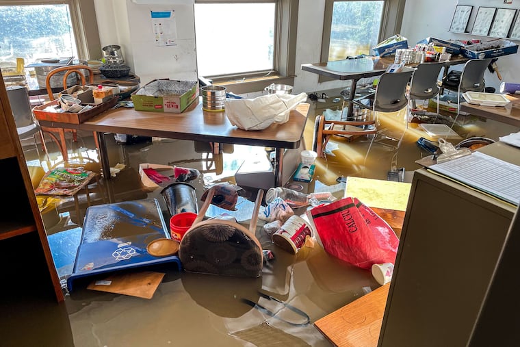
August could smash the record for Philadelphia's wettest month - perhaps by a half-foot of rain.

August could smash the record for Philadelphia's wettest month - perhaps by a half-foot of rain.
That much or more could fall by Monday, with rain possible Thursday, then heavy rain Thursday night and again Saturday - before what's left of Hurricane Irene passes by on Sunday.
No more sunny days like today, with a high of 85, until next week.
Historically, this month's 13.0 inches of rain trails the record-setter, September 1999, by only 0.07 inches.
Two inches could fall by Friday morning, another 2 to 2.5 inches on Saturday - enough to raise new flash flood concerns, according to a morning forecast discussion of the National Weather Service.
Those amounts are the high end, however, depending on the track of Thursday's storms, and whether Irene spawns precursor storms that sweep through the Philadelphia area Saturday.
Then comes Irene herself.
"Based on the current track, most of the Eastern Seaboard is going to receive some nasty wind and rain from this storm," said meteorologist Greg Heavener of the weather service's Mount Holly office.
This afternoon, Irene reached Category 3 strength - making it a major hurricane - passing over the Bahamas on a northerly course that would take it off Florida's east coast.
The biggest threat is to North Carolina, where evacuations have already begun from Ocracoke Island in the Outer Banks.
Earlier projections had Irene coming right over the Delmarva Peninsula, but this afternoon's prognostications suggest a track about 60 miles off the New Jersey coast, said meteorologist Anthony Gigi.
"It's still within the cone of uncertainty," Gigi said. "We're talking about a possible range of 150 miles either way which could put it right over the Delaware Valley."
The worst of Irene will sweep through the region Saturday night into Sunday.
But it's still too early to tell how much of a punch it will pack.
"It will really depend on the track it takes," Gigi said. "We can't say yet whether we'll get x amount of wind or x amount of rain."
Worst case scenario could bring tropical-force winds - 35 m.p.h. or more - and several inches or more of rain, especially at the Shore. Some beach erosion and flooding would be likely.
The best case scenario would be for Irene to do what Earl did last year and keep shifting eastward, Heavener said.
The system has a lot of moisture and would dump a lot more rain if the track moved toward Philadelphia, Heavener said.
For Irene's latest track, go to http://www.noaawatch.gov/2011/tc_at09.php
For more on the forecast, go to http://go.philly.com/weather. Enter a new town or zip code to get a more local picture.
Follow the Inquirer at
» READ MORE: www.Twitter.com/PhillyInquirer
and
» READ MORE: www.Facebook.com/PhillyInquirer