Two tornadoes were confirmed from a rare storm that produced golf-ball size hailstones
Wet snowflakes may make an appearance Friday night in the Philadelphia region.
While parts of the region could see their first snowflakes Friday night, after one of the more incredible days in the Philly region’s weather history, they aren’t likely to get much attention.
The National Weather Service has confirmed that two rare November tornadoes touched down in the region on Thursday — one near Wilmington, and another in Chesterfield, Burlington County.
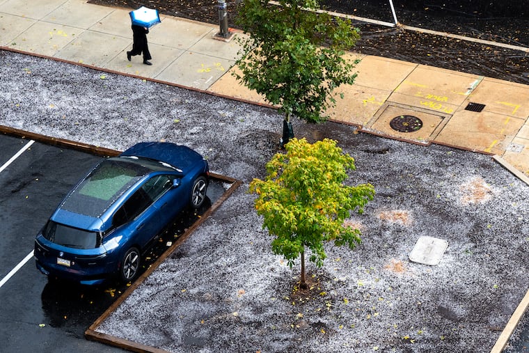
The details and damage assessments weren’t yet available, but the twisters arguably were upstaged by rare hailstorms that featured golf-ball size icy rocks, mined from 35,000 feet in the atmosphere, that literally had to be plowed off streets in some areas
“That was wild,” said Lee Robertson, a lead meteorologist at the weather service office in Mount Holly, who said he had witnessed nothing quite like in his 21 years with the agency.
Robertson, who lives in Churchville, Bucks County, was getting live reports from his 7-year-old son, Jack, who said the hailstones sounded “like jackhammers.”
“That was something we usually see in the West and in the Plains,” said Bill Deger, senior meteorologist at AccuWeather Inc.
And rarely does the Philly area see tornadoes in November. It’s happened only one other time in Delaware in records dating to 1950, said Kevin Brinson, Delaware state climatologist.
The tornado touched down in the vicinity of Christiana Hospital, damaging at least one helicopter.
New Jersey hasn’t had a confirmed sighting this late in November since 1989, said Deger.
Thursday’s tornado damaged three structures, including the Meadow View Junior Academy private school, said Burlington County spokesperson Dave Levinsky.
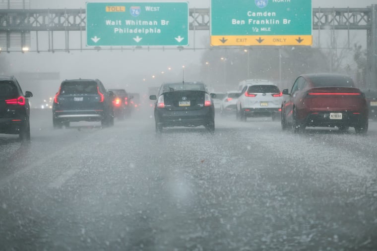
The storm struck the region with ferocity staring around 1 p.m., with the worst over by the evening commute. In addition to the twisters and the hailstones, downpours flooded numerous road throughout the region.
No injuries or deaths were reported.
“It took like the perfect track to impact the most people,” said Deger, the worst of it running along the I-95 spine.
As for the plowable hailstones that were notable in Delaware and Gloucester Counties, Deger said those hefty accumulations likely occurred near the bottoms of road valleys after all those ice marbles had rolled downhill.
“That’s not to diminish what happened there,” he said.
The dynamical storm was a prelude to quite a chance in the region’s temperature fortunes, as you may have noticed.
Highs are unlikely to get out of the 40s the next two days, with lows in the low- and mid-30s.
Some wet snowflakes could mix in with rain Friday night, Robertson said.
Given what happened Thursday, would anyone notice?
Staff writer Lacey Latch contributed to this article.
This story will be updated.