Philly is under flood, storm, and tornado watches Thursday, and more rain is likely this weekend
Heavy rain and even a “few tornadoes” are possible in the Philly area through early Friday.
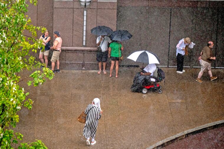
Both astronomy and meteorology suggest that it won’t be long before these things decline in frequency, but in the meantime another flash-flood watch is in effect for the Philly region.
A tornado watch also was posted for Philadelphia and the neighboring Pennsylvania counties.
The National Weather Service watch spans from noon Thursday until 2 a.m. Friday, for the potential for rain rates of 2-to-4 inches an hour in areas along I-95 and South Jersey.
And the federal Storm Prediction Center has posted a severe-thunderstorm watch, in effect until 10 p.m., for storms that could kick up gusts approaching 60 mph.
“There could be multiple rounds of heavy rain over urbanized areas,” said Joe Wegman, a meteorologist with the government’s Weather Prediction Center. In advance of the anticipated main events, a blob of light rain moved through the region late Thursday morning.
Also, the federal Storm Prediction Center sees an outside chance of severe-level storms, those with gusts near 60 mph, and a 5% chance of tornadoes in and around Philly.
And those who have not had the good fortune of spending the last two months in heat-free and smokeless environments probably can skip the next paragraph.
The timing, ferocity, rain totals, and targets all remain uncertain.
What is the best estimate on the storm timing in Philly?
The higher-resolution models were suggesting that the likeliest time for storms to arrive in the Philly region would be between 2 and 3 p.m. Thursday, Wegman said.
The worst of it may hold off until 4 or 5 p.m., said Matt Benz, senior meteorologist with AccuWeather Inc.
The storms likely would back off between 6 and 7 p.m., but that timing could disrupt a peak commuting period.
“Why would we conveniently time these things?” Wegman quipped.
“There’s plenty of moisture coming up, and a front approaching from the west,” he said. “If the front stalls, the storms might linger longer than people want them to.”
Plus, renegade storms could race out ahead of the front, setting off precipitation earlier, he added, and that appeared to be case Thursday.
The weather service in Mount Holly said the “greatest risk” for severe storms would be between noon and 10 p.m.
But timing remains one of the most vexing challenges for severe-weather forecasting, says Bill Bunting, deputy director of the storm center, in Norman, Okla.
“I have seen remarkable progress,” said Bunting, who has been at it for 40 years, “but we’re nowhere near perfection. In the end, the science has its limitations.”
The forecast for the weekend and the rest of August
The storm experts have had plenty of practice around here this summer. So far, Philadelphia officially has recorded 21 thunderstorms since June 1, several more than normal.
It has also been a banner summer for smartphone alerts and assorted scare grams.
About 11 inches of rain has been measured at Philadelphia International Airport, roughly four inches above normal, since July 1.
That said, yes, both Chester County and the entire state of New Jersey remain under state-declared drought warnings, with residents asked to conserve water.
And drier times may be coming, or at least a reduced incidence of those late-day thunderstorms, said Brian Hurley, senior branch forecaster with the Weather Prediction Center.
The days are getting shorter, and the sun is losing some of the gas it uses to fuel convective storms, he said.
But all pumpkin spice aside, summer is not quite over, and shower chances are in the forecast into Sunday night.