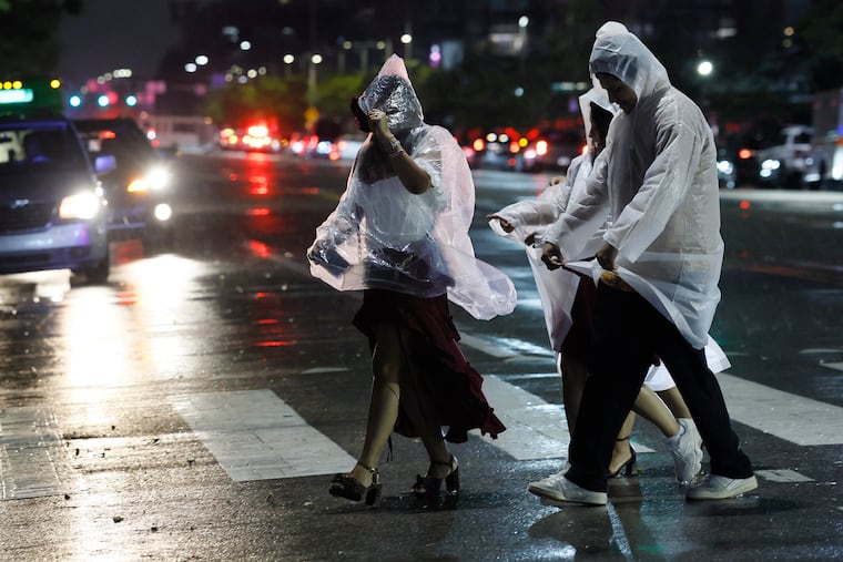
Strong storms are moving through the Philly region, bringing yet another round of flood warnings
In South Jersey, 5-plus inches of rain was reported, and a tornado warning was issued for Salem County.
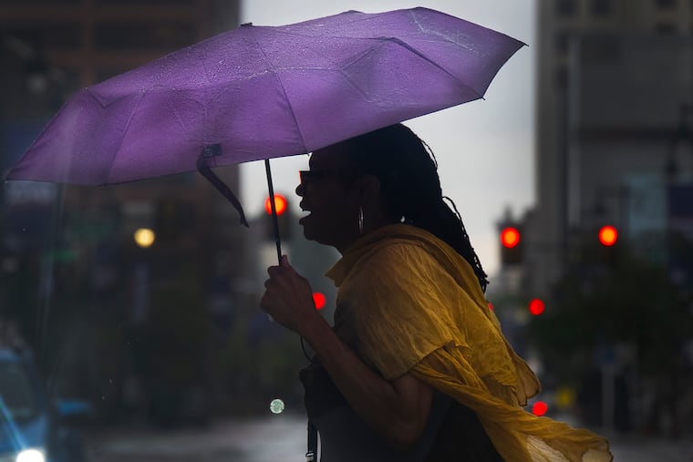
It’s been a while — about a week, actually — but fresh rounds of strong thunderstorms and flooding bedeviled the Philadelphia region yet again Thursday.
South Jersey evidently was bearing the brunt of the ferocity during the afternoon, with 5-plus inches of rain reported in Gloucester County, where flooding closed portions of Route 130.
A tornado warning had been posted in Salem County, but it was not yet known if one was sighted.
During the late-day commute, a second round of heavy rain moved into northern Chester County and central Montgomery County, prompting flood warnings.
“Multiple water rescues” were reported in Parkesburg, Chester County, the National Weather Service said, with water up to car windows. Flooding on Route 422 in East Conventry Township resulted in at least one vehicle accident.
After a couple of uncharacteristically pleasant days, pulses of moisture have returned, and the National Weather Service was warning that as much as three to five inches of rain could fall in “isolated” areas into Thursday night.
Strong storms rumbled through the area late in the morning and pounded South Jersey in the afternoon.
Officially, 1.48 inches of rain was measured at Philadelphia International Airport, bringing the 2026 total to 28.84 inches, for 0.03 inches over the year-to-date normal.
Heavy rains also set off flash flooding warnings in Delaware County and in portions of Bucks County.
In addition, a severe thunderstorm watch was in effect for the entire region.
The flood watch is in effect for the city and the seven neighboring counties from noon Thursday to 4 a.m. Friday, with rain-repelling high pressure moving offshore and a warm front migrating northward.
Said Cody Snell, meteorologist with the national Weather Prediction Center in College Park, Md., “It’s a pretty typical pattern that we’ve seen before this summer.”
Indeed.
Computer model runs were suggesting that the atmosphere would not only be moist, but charged with energy, the weather service in Mount Holly said Wednesday afternoon.
The federal Storm Prediction Center in Norman, Okla., listed a 15% chance of severe storms, those with wind gusts approaching 60 mph, along the I-95 corridor. At least it made no mention of possible tornadoes — yet.
When might the storms hit the Philly region?
The likeliest window for the main events would be between 2 and 8 p.m., said Bill Deger, senior meteorologist with AccuWeather Inc. said
The sun is likely to appear after the morning rain shuts off, he said, and that would “help destabilize the atmosphere,” adding a kick to potential thunderstorms.
He expected a midafternoon round, followed by an encore in the evening.
What areas are likeliest to see flooding or severe storms?
For severe weather, all of Southeastern Pennsylvania and New Jersey areas along the Delaware River are in the storm center’s highest risk zone, which extends from the Maryland-Virginia border to upstate New York.
Along the Delaware River, Snell said, “there’s a little bit of signal for training thunderstorms.” Those are the kind to develop and not move, the kind that can wring out three to five inches.
“The biggest threat is flash flooding,” said AccuWeather’s Deger, with the higher potential in Philly and areas west of the Delaware.
He said the west-to-east moving storms may run out of steam by the time they get to Jersey.
However, any rains are likely to cause trouble, he said.
“Our ground can’t handle much more at this point,” said Deger, who lives in the Quakertown area and has seen the harvests of the downpours in his backyard.
“I’m mowing every four days,” he said.
Staff writer John Duchneskie contributed to this article.