That ‘curious’ lane switch in the middle of the Manayunk Bridge? Planners say it’s on purpose.
A reader asked why the pedestrian bridge, which connects Lower Merion and Philadelphia, switches sides for walkers and cyclists halfway through.
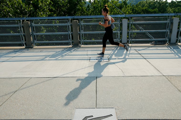
Towering 80 feet above the Schuylkill and shaped by its colossal concrete arches, the Manayunk Bridge is a key connector in the region’s trail system and a link between Philadelphia and its suburban neighbor, Lower Merion Township.
While the trail is beloved by city dwellers and suburbanites alike, a mid-trail traffic pattern switch for bikers and pedestrians has confused some users and prompted one reader to write in, asking The Inquirer to investigate. According to city and township officials, the traffic flow switch-up midway across the bridge is no accident.
The Manayunk Bridge connects the 80-plus mile Schuylkill River Trail with the Cynwyd Heritage Trail, a 2-mile multiuse path that runs along an unused segment of SEPTA tracks in Lower Merion. Much of the trail was once SEPTA’s Ivy Ridge line, which connected Philadelphia with Manayunk via Bala Cynwyd, but was truncated in the 1980s due to poor track conditions. The trail’s completion in 2011, and extension in recent years, has marked a major transformation for the previously underutilized corridor of Bala Cynwyd.
Penn Valley resident J.J. Cutuli enjoys running and biking with his kids on the Cynwyd Trail.
“We really love the pedestrian bridge. We really love the trail,” Cutuli said.
But halfway across the Manayunk Bridge, “there’s this curious little thing that happens,” Cutuli said. The trail’s traffic pattern switches. The bicyclist side becomes the pedestrian side, and vice versa.
“I’m kind of a rule-follower. One of my kids is a rule-follower, and he asked me that question. He was like, ‘What side should I be on? Should I be on this side? Should I be on that side? What are the rules of the road?’” Cutuli said.
Unable to summon an answer himself, Cutuli wrote into Curious Lower Merion, The Inquirer’s forum for answering questions about the Lower Merion community.
Chris Leswing, Lower Merion’s director of building and planning, said the traffic pattern switch was a deliberate choice to slow bikers traversing the downward slope from Lower Merion to Manayunk.
It’s “easy to speed through areas where people may linger and watch the river” and the “idea was that bikers would need to be aware of the pavement markings to check their speeds,” Leswing said in an email.
The city concurred.
The switching of the bike and pedestrian zones was designed to slow bikes down and allow users to “experience both sides of the bridge and the amazing views,” Ra’Chelle Rogers, spokesperson for Philadelphia’s parks and recreation department, said in an email.
The traffic pattern switch was in response to “what was heard from the public and stakeholders,” according to Rogers.
Are trail users following the rules? Not completely.
On one Reddit post, cyclists said the traffic pattern change and accompanying signage “makes zero sense” and “could not be more Looney Toons.” Most cyclists and pedestrians just stay to the right, commenters said.

Want to get Inquirer Lower Merion straight to your inbox every week? Sign up here for our guide to the news, stories, and events shaping life in your community.
This suburban content is produced with support from the Leslie Miller and Richard Worley Foundation and The Lenfest Institute for Journalism. Editorial content is created independently of the project donors. Gifts to support The Inquirer’s high-impact journalism can be made at inquirer.com/donate. A list of Lenfest Institute donors can be found at lenfestinstitute.org/supporters.